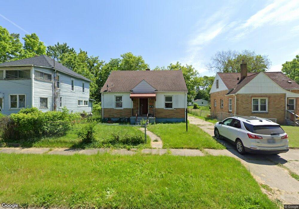
3506 Robin St Flint, MI 48505
King Avenue Plus NeighborhoodEstimated Value: $22,000 - $56,446
3
Beds
1
Bath
975
Sq Ft
$46/Sq Ft
Est. Value
About This Home
This home is located at 3506 Robin St, Flint, MI 48505 and is currently estimated at $44,862, approximately $46 per square foot. 3506 Robin St is a home located in Genesee County with nearby schools including Brownell STEM Academy, The New Standard Academy, and Greater Heights Academy.
Ownership History
Date
Name
Owned For
Owner Type
Purchase Details
Closed on
Dec 21, 2021
Sold by
Genesee County Treasurer
Bought by
Genesee County Land Bank Authority
Current Estimated Value
Purchase Details
Closed on
Jan 15, 2015
Sold by
Gray George
Bought by
Ealls Cameron D
Purchase Details
Closed on
Apr 12, 2013
Sold by
Gray Louberta
Bought by
Gray George
Purchase Details
Closed on
Mar 18, 2004
Sold by
Ameriquest Mortgage Co
Bought by
Wells Fargo Bank Minnesota Na and Salomon Brothers Mtg Securities Vii Inc
Create a Home Valuation Report for This Property
The Home Valuation Report is an in-depth analysis detailing your home's value as well as a comparison with similar homes in the area
Home Values in the Area
Average Home Value in this Area
Purchase History
| Date | Buyer | Sale Price | Title Company |
|---|---|---|---|
| Genesee County Land Bank Authority | -- | None Listed On Document | |
| Ealls Cameron D | -- | None Available | |
| Gray George | -- | None Available | |
| Wells Fargo Bank Minnesota Na | -- | -- |
Source: Public Records
Tax History Compared to Growth
Tax History
| Year | Tax Paid | Tax Assessment Tax Assessment Total Assessment is a certain percentage of the fair market value that is determined by local assessors to be the total taxable value of land and additions on the property. | Land | Improvement |
|---|---|---|---|---|
| 2025 | $766 | $13,400 | $0 | $0 |
| 2024 | $701 | $9,400 | $0 | $0 |
| 2023 | $275 | $0 | $0 | $0 |
| 2022 | $0 | $0 | $0 | $0 |
| 2021 | $768 | $6,900 | $0 | $0 |
| 2020 | $857 | $9,000 | $0 | $0 |
| 2019 | $902 | $9,800 | $0 | $0 |
| 2018 | $1,104 | $10,600 | $0 | $0 |
| 2017 | $1,130 | $0 | $0 | $0 |
| 2016 | $931 | $0 | $0 | $0 |
| 2015 | -- | $0 | $0 | $0 |
| 2014 | -- | $0 | $0 | $0 |
| 2012 | -- | $12,800 | $0 | $0 |
Source: Public Records
Map
Nearby Homes
- 325 W Dewey St
- 200 W Mcclellan St
- 311 W Genesee St
- 409 W Genesee St
- 2913 Martin Luther King Ave
- 2913
- 3418 Keyes St
- 218 E Jackson Ave
- 3312 Buick St
- 3810 Marvin St
- 3002 N Chevrolet Ave
- 115 W Baker St
- 3802 Milbourne Ave
- 3513 Milbourne Ave
- 4006 Donnelly St
- 313 Edwin Ave
- 114 W Stewart Ave
- 2718 N Chevrolet Ave
- 606 W Stewart Ave
- 3002 Proctor St