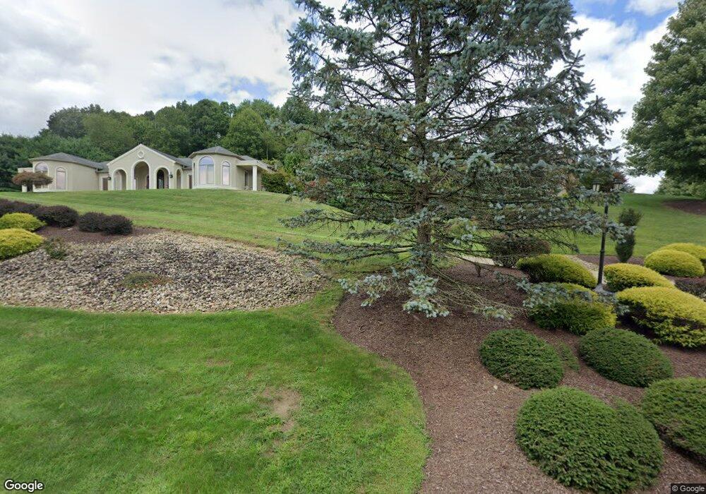
3507 Lashan Dr Murrysville, PA 15668
Estimated Value: $919,000 - $1,257,000
--
Bed
--
Bath
4,688
Sq Ft
$232/Sq Ft
Est. Value
About This Home
This home is located at 3507 Lashan Dr, Murrysville, PA 15668 and is currently estimated at $1,088,000, approximately $232 per square foot. 3507 Lashan Dr is a home with nearby schools including Franklin Regional Senior High School.
Ownership History
Date
Name
Owned For
Owner Type
Purchase Details
Closed on
Nov 21, 2023
Sold by
Rubino Mark A and Rubino Denise
Bought by
Rubino-Calafiore Stephanie M and Calafiore David J
Current Estimated Value
Home Financials for this Owner
Home Financials are based on the most recent Mortgage that was taken out on this home.
Original Mortgage
$726,200
Outstanding Balance
$713,843
Interest Rate
7.63%
Mortgage Type
New Conventional
Estimated Equity
$374,157
Create a Home Valuation Report for This Property
The Home Valuation Report is an in-depth analysis detailing your home's value as well as a comparison with similar homes in the area
Home Values in the Area
Average Home Value in this Area
Purchase History
| Date | Buyer | Sale Price | Title Company |
|---|---|---|---|
| Rubino-Calafiore Stephanie M | -- | None Listed On Document |
Source: Public Records
Mortgage History
| Date | Status | Borrower | Loan Amount |
|---|---|---|---|
| Open | Rubino-Calafiore Stephanie M | $726,200 |
Source: Public Records
Tax History Compared to Growth
Tax History
| Year | Tax Paid | Tax Assessment Tax Assessment Total Assessment is a certain percentage of the fair market value that is determined by local assessors to be the total taxable value of land and additions on the property. | Land | Improvement |
|---|---|---|---|---|
| 2025 | $14,319 | $93,960 | $13,280 | $80,680 |
| 2024 | $13,990 | $93,960 | $13,280 | $80,680 |
| 2023 | $13,145 | $93,960 | $13,280 | $80,680 |
| 2022 | $12,887 | $93,960 | $13,280 | $80,680 |
| 2021 | $12,604 | $93,960 | $13,280 | $80,680 |
| 2020 | $12,365 | $93,960 | $13,280 | $80,680 |
| 2019 | $12,111 | $93,960 | $13,280 | $80,680 |
| 2018 | $11,901 | $93,960 | $13,280 | $80,680 |
| 2017 | $11,654 | $93,960 | $13,280 | $80,680 |
| 2016 | $11,421 | $93,960 | $13,280 | $80,680 |
| 2015 | $11,421 | $93,960 | $13,280 | $80,680 |
| 2014 | $11,343 | $93,960 | $13,280 | $80,680 |
Source: Public Records
Map
Nearby Homes
- 3513 Lashan Dr
- 3424 Lashan Dr
- 4306 Michel Ct
- 4830 Dargate Ln
- 4838 Sardis Rd
- 3913 Bridgewood Cir
- 5150 Mamont Rd
- 4941 Bulltown Rd
- Lot 1 Sardis Rd
- Lot 2 Sardis Rd
- Lot 4 Shag Bark Grove
- 4400 Twin Oaks Dr
- 5306 Saddle Pack Trail
- 4974 Longview Ct
- 3017 Juniper Ct
- 474 Exton Lake Rd
- 4201 Bulltown Rd
- 4610 Bulltown Rd
- 4309 Bulltown Rd
- 278 Ridge Ln
- 3505 Chateau Ln
- 3417 Lashan Dr
- 3511 Lashan Dr
- 3416 Lashan Dr
- 3503 Chateau Ln
- 3418 Lashan Dr
- 3420 Lashan Dr
- 5113 Cole Rd
- 3414 Lashan Dr
- 3422 Lashan Dr
- 3501 Chateau Ln
- 3515 Lashan Dr
- 4845 Deer Hollow Ln
- 4841 Deer Hollow Ln
- 4301 Michel Ct
- 3409 Lashan Dr
- 4303 Michel Ct
- 5000 Cole Rd
- 4305 Michel Ct
- 4309 Michel Ct