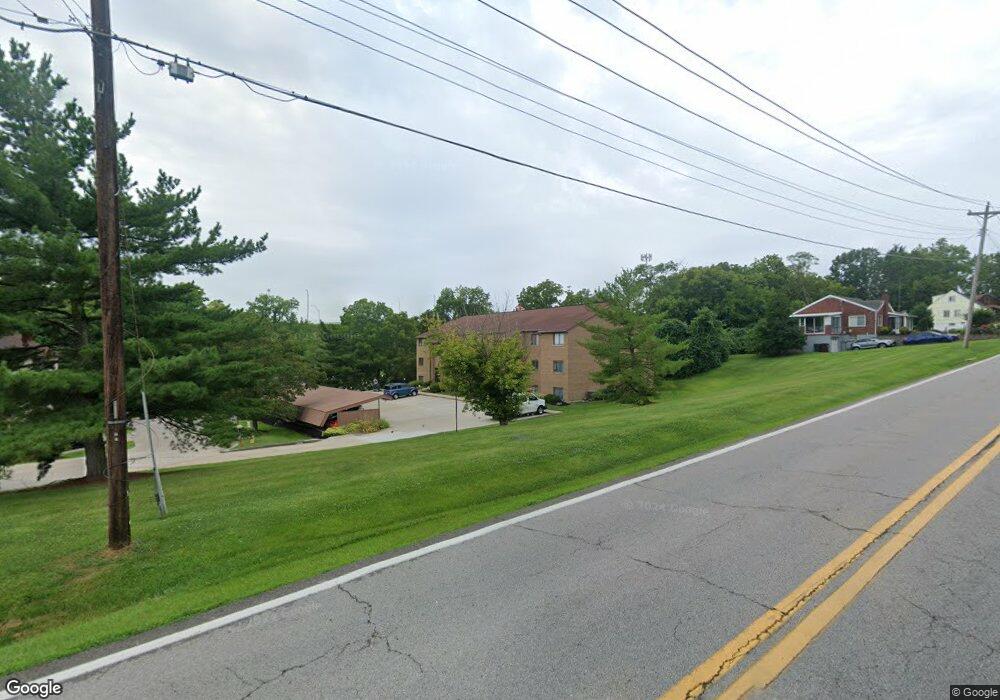
3507 W Fork Rd Cincinnati, OH 45211
East Monfort Heights NeighborhoodEstimated Value: $127,000 - $160,000
3
Beds
2
Baths
1,012
Sq Ft
$135/Sq Ft
Est. Value
About This Home
This home is located at 3507 W Fork Rd, Cincinnati, OH 45211 and is currently estimated at $136,152, approximately $134 per square foot. 3507 W Fork Rd is a home located in Hamilton County with nearby schools including Monfort Heights Elementary School, White Oak Middle School, and Colerain High School.
Ownership History
Date
Name
Owned For
Owner Type
Purchase Details
Closed on
May 13, 2024
Sold by
Haynes Hunter P and Hickman Carol A
Bought by
Haynes Hunter P and Hickman Carol A
Current Estimated Value
Purchase Details
Closed on
Feb 28, 1997
Sold by
Dehart William M and Dehart Mary Helen
Bought by
Hickman Carol A
Home Financials for this Owner
Home Financials are based on the most recent Mortgage that was taken out on this home.
Original Mortgage
$49,000
Interest Rate
7.93%
Create a Home Valuation Report for This Property
The Home Valuation Report is an in-depth analysis detailing your home's value as well as a comparison with similar homes in the area
Home Values in the Area
Average Home Value in this Area
Purchase History
| Date | Buyer | Sale Price | Title Company |
|---|---|---|---|
| Haynes Hunter P | -- | None Listed On Document | |
| Haynes Hunter P | -- | None Listed On Document | |
| Hickman Carol A | $64,000 | -- |
Source: Public Records
Mortgage History
| Date | Status | Borrower | Loan Amount |
|---|---|---|---|
| Previous Owner | Hickman Carol A | $49,000 |
Source: Public Records
Tax History
| Year | Tax Paid | Tax Assessment Tax Assessment Total Assessment is a certain percentage of the fair market value that is determined by local assessors to be the total taxable value of land and additions on the property. | Land | Improvement |
|---|---|---|---|---|
| 2025 | $1,280 | $33,719 | $3,920 | $29,799 |
| 2024 | $1,258 | $33,719 | $3,920 | $29,799 |
| 2023 | $1,306 | $33,719 | $3,920 | $29,799 |
| 2022 | $660 | $18,848 | $3,675 | $15,173 |
| 2021 | $596 | $18,848 | $3,675 | $15,173 |
| 2020 | $613 | $18,848 | $3,675 | $15,173 |
| 2019 | $698 | $19,212 | $3,675 | $15,537 |
| 2018 | $622 | $19,212 | $3,675 | $15,537 |
| 2017 | $582 | $19,212 | $3,675 | $15,537 |
| 2016 | $876 | $24,333 | $3,861 | $20,472 |
| 2015 | $891 | $24,333 | $3,861 | $20,472 |
| 2014 | $892 | $24,333 | $3,861 | $20,472 |
| 2013 | $773 | $23,170 | $3,675 | $19,495 |
Source: Public Records
Map
Nearby Homes
- 3505 W Fork Rd
- 5425 Philloret Dr
- 5436 Philloret Dr
- 5440 Asbury Lake Dr
- 5165 N Bend Crossing
- 3414 N Bend Rd
- 3408 N Bend Rd
- 3376 Palmhill Ln
- 5320 Meadow Walk Ln
- 5617 Cheviot Rd
- 3376 Kleeman Rd
- 5462 Brigade Ct
- 3318 Kleeman Rd
- 5722 Kroegermount Dr
- 5727 Kroegermount Dr
- 4911 N Bend Rd
- 3586 Rackacres Dr
- 5761 Cheviot Rd
- 4252 Runningfawn Dr
- 3579 Rackacres Dr
- 3507 W Fork Rd
- 3507 W Fork Rd
- 3507 W Fork Rd
- 3507 W Fork Rd
- 3507 W Fork Rd Unit 14
- 3507 W Fork Rd Unit 13
- 3507 W Fork Rd Unit 17
- 3505 W Fork Rd
- 3505 W Fork Rd
- 3505 W Fork Rd
- 3505 W Fork Rd
- 3505 W Fork Rd
- 3505 W Fork Rd Unit 14
- 3505 W Fork Rd Unit 32
- 3505 W Fork Rd Unit 23
- 3505 W Fork Rd Unit 19
- 3505 W Fork Rd Unit 22
- 3505 W Fork Rd Unit 21
- 3505 W Fork Rd Unit 24
- 3527 W Fork Rd
Your Personal Tour Guide
Ask me questions while you tour the home.