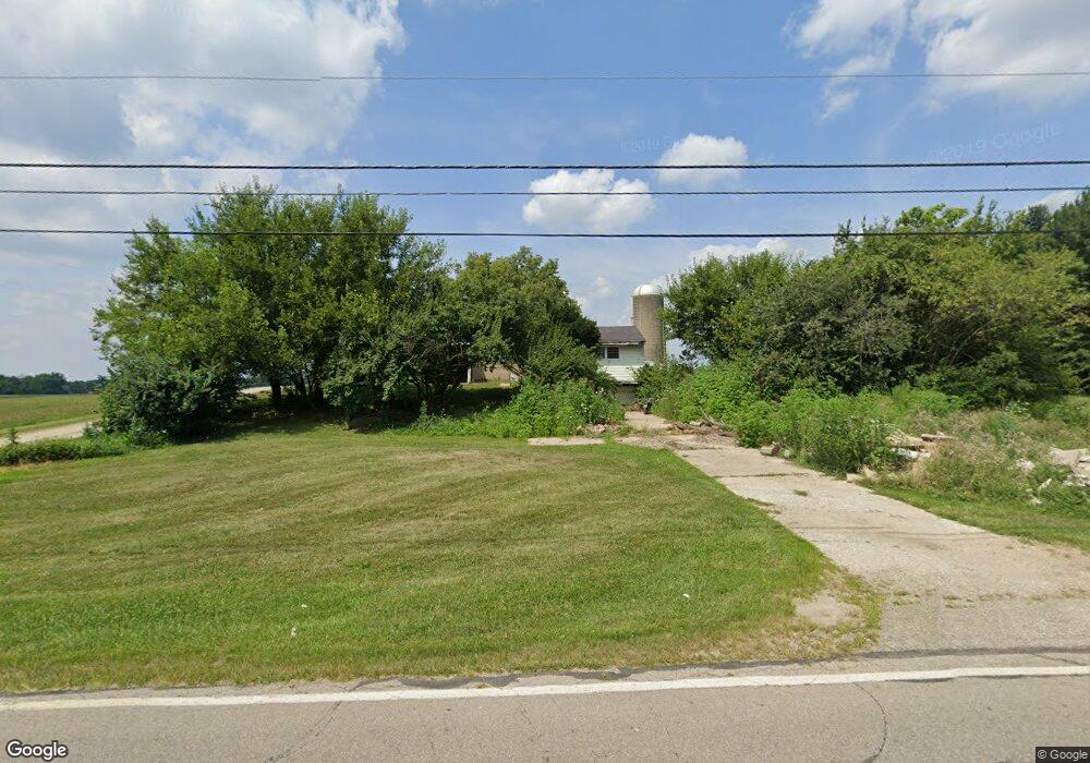
3509 Bosart Rd Springfield, OH 45503
Estimated Value: $187,000 - $224,000
2
Beds
1
Bath
1,292
Sq Ft
$158/Sq Ft
Est. Value
About This Home
This home is located at 3509 Bosart Rd, Springfield, OH 45503 and is currently estimated at $203,772, approximately $157 per square foot. 3509 Bosart Rd is a home located in Clark County with nearby schools including Rolling Hills Elementary School, Northridge Middle School, and Kenton Ridge Middle & High School.
Ownership History
Date
Name
Owned For
Owner Type
Purchase Details
Closed on
Aug 15, 2008
Sold by
Deselem Pauline J and Hsbc Mortgage Services Inc
Bought by
Deselem Karl V
Current Estimated Value
Home Financials for this Owner
Home Financials are based on the most recent Mortgage that was taken out on this home.
Original Mortgage
$30,000
Interest Rate
5.94%
Mortgage Type
Purchase Money Mortgage
Create a Home Valuation Report for This Property
The Home Valuation Report is an in-depth analysis detailing your home's value as well as a comparison with similar homes in the area
Home Values in the Area
Average Home Value in this Area
Purchase History
| Date | Buyer | Sale Price | Title Company |
|---|---|---|---|
| Deselem Karl V | $33,335 | Attorney |
Source: Public Records
Mortgage History
| Date | Status | Borrower | Loan Amount |
|---|---|---|---|
| Previous Owner | Deselem Karl V | $30,000 |
Source: Public Records
Tax History Compared to Growth
Tax History
| Year | Tax Paid | Tax Assessment Tax Assessment Total Assessment is a certain percentage of the fair market value that is determined by local assessors to be the total taxable value of land and additions on the property. | Land | Improvement |
|---|---|---|---|---|
| 2024 | $2,475 | $36,660 | $14,670 | $21,990 |
| 2023 | $2,475 | $36,660 | $14,670 | $21,990 |
| 2022 | $1,591 | $36,660 | $14,670 | $21,990 |
| 2021 | $1,539 | $30,040 | $12,020 | $18,020 |
| 2020 | $1,540 | $30,040 | $12,020 | $18,020 |
| 2019 | $1,570 | $30,040 | $12,020 | $18,020 |
| 2018 | $1,402 | $25,750 | $11,130 | $14,620 |
| 2017 | $1,207 | $25,753 | $11,130 | $14,623 |
| 2016 | $1,199 | $25,753 | $11,130 | $14,623 |
| 2015 | $4,650 | $24,444 | $11,130 | $13,314 |
| 2014 | $1,181 | $24,444 | $11,130 | $13,314 |
| 2013 | $5,155 | $24,444 | $11,130 | $13,314 |
Source: Public Records
Map
Nearby Homes
- 3452 Bosart Rd
- 3963 Covington Dr Unit 3963
- 3112 Country Side Ct Unit 3112
- 2939 Mechanicsburg Rd
- 3500 Oakmont Ct
- 1922 Wedgewood Cir
- 1920 Wedgewood Cir
- 1781 Pinehurst Dr
- 1507 Kingsgate Rd
- 3316 Sudbury St
- 1505 Kingsgate Rd
- 2805 Old Oak Ln
- 1503 Kingsgate Rd
- 1501 Kingsgate Rd
- 4249 Reno Rd
- 2022 Westboro Ave
- 3510 Bosart Rd
- 3541 Bosart Rd
- 3522 Bosart Rd
- 3449 Bosart Rd
- 3440 Bosart Rd
- 3601 Bosart Rd
- 3542 Bosart Rd
- 3435 Mechanicsburg Rd
- 3501 Mechanicsburg Rd
- 3610 Bosart Rd
- 3523 Mechanicsburg Rd
- 3619 Bosart Rd
- 3401 Bosart Rd
- 3624 Bosart Rd
- 3545 Mechanicsburg Rd
- 3627 Bosart Rd
- 3430 Mechanicsburg Rd
- 3634 Bosart Rd
- 3637 Bosart Rd
- 3701 Bosart Rd