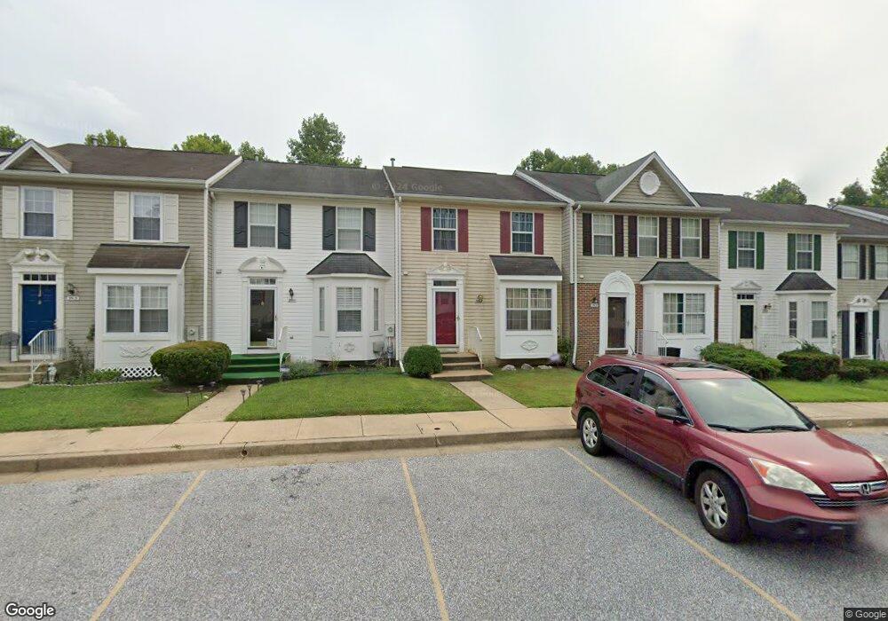
3509 Corn Stream Rd Randallstown, MD 21133
Estimated Value: $310,719 - $337,000
Studio
3
Baths
1,272
Sq Ft
$255/Sq Ft
Est. Value
About This Home
This home is located at 3509 Corn Stream Rd, Randallstown, MD 21133 and is currently estimated at $324,180, approximately $254 per square foot. 3509 Corn Stream Rd is a home located in Baltimore County with nearby schools including Hernwood Elementary School, Deer Park Middle Magnet School, and New Town High.
Ownership History
Date
Name
Owned For
Owner Type
Purchase Details
Closed on
Nov 2, 2012
Sold by
Simpson Terry and Wheeler Terry
Bought by
Simpson Terry
Current Estimated Value
Home Financials for this Owner
Home Financials are based on the most recent Mortgage that was taken out on this home.
Original Mortgage
$117,400
Outstanding Balance
$81,126
Interest Rate
3.39%
Mortgage Type
New Conventional
Estimated Equity
$243,054
Purchase Details
Closed on
Jun 24, 2003
Sold by
Johnson Daniel M
Bought by
Wheeler Terry
Purchase Details
Closed on
Oct 10, 1995
Sold by
National Birchwood Corp
Bought by
Johnson Daniel M
Home Financials for this Owner
Home Financials are based on the most recent Mortgage that was taken out on this home.
Original Mortgage
$106,426
Interest Rate
7.86%
Create a Home Valuation Report for This Property
The Home Valuation Report is an in-depth analysis detailing your home's value as well as a comparison with similar homes in the area
Home Values in the Area
Average Home Value in this Area
Purchase History
| Date | Buyer | Sale Price | Title Company |
|---|---|---|---|
| Simpson Terry | -- | None Available | |
| Wheeler Terry | $143,000 | -- | |
| Johnson Daniel M | $104,340 | -- |
Source: Public Records
Mortgage History
| Date | Status | Borrower | Loan Amount |
|---|---|---|---|
| Open | Simpson Terry | $117,400 | |
| Previous Owner | Johnson Daniel M | $106,426 |
Source: Public Records
Tax History
| Year | Tax Paid | Tax Assessment Tax Assessment Total Assessment is a certain percentage of the fair market value that is determined by local assessors to be the total taxable value of land and additions on the property. | Land | Improvement |
|---|---|---|---|---|
| 2025 | $3,929 | $243,133 | -- | -- |
| 2024 | $3,929 | $227,300 | $55,000 | $172,300 |
| 2023 | $1,892 | $219,067 | $0 | $0 |
| 2022 | $3,611 | $210,833 | $0 | $0 |
| 2021 | $3,410 | $202,600 | $55,000 | $147,600 |
| 2020 | $3,410 | $194,400 | $0 | $0 |
| 2019 | $3,300 | $186,200 | $0 | $0 |
| 2018 | $3,173 | $178,000 | $49,400 | $128,600 |
| 2017 | $2,979 | $173,333 | $0 | $0 |
| 2016 | $2,434 | $168,667 | $0 | $0 |
| 2015 | $2,434 | $164,000 | $0 | $0 |
| 2014 | $2,434 | $164,000 | $0 | $0 |
Source: Public Records
Map
Nearby Homes
- 3516 Corn Stream Rd
- 3558 Corn Stream Rd
- 3524 Orchard Shade Rd
- 9804 Marriottsville Rd
- 9713 Mendoza Rd
- 9605 Mendoza Rd
- 10 Geier Ct
- 3715 Peace Chance Dr
- 10 Kiska Ct
- 9301 Silver Charm Dr
- 9401 Summer Squal Dr
- 3986 Red Deer Cir
- 3618 Granite Rd
- 3200 Peddicoat Ct
- 3 Dajobe Ct
- 9208A Liberty Rd
- 3320 Offutt Rd
- 9839 Branchleigh Rd
- 3332 Offutt Rd
- 9202 Samoset Rd
- 3507 Corn Stream Rd
- 3505 Corn Stream Rd
- 3511 Corn Stream Rd
- 3503 Corn Stream Rd
- 3513 Corn Stream Rd
- 3501 Corn Stream Rd
- 3515 Corn Stream Rd
- 9408 Plowline Rd
- 3506 Corn Stream Rd
- 3508 Corn Stream Rd
- 3504 Corn Stream Rd
- 3510 Corn Stream Rd
- 3502 Corn Stream Rd
- 3512 Corn Stream Rd
- 3517 Corn Stream Rd
- 3500 Corn Stream Rd
- 3518 Corn Stream Rd
- 3519 Corn Stream Rd
- 3520 Corn Stream Rd
- 3521 Corn Stream Rd
Your Personal Tour Guide
Ask me questions while you tour the home.