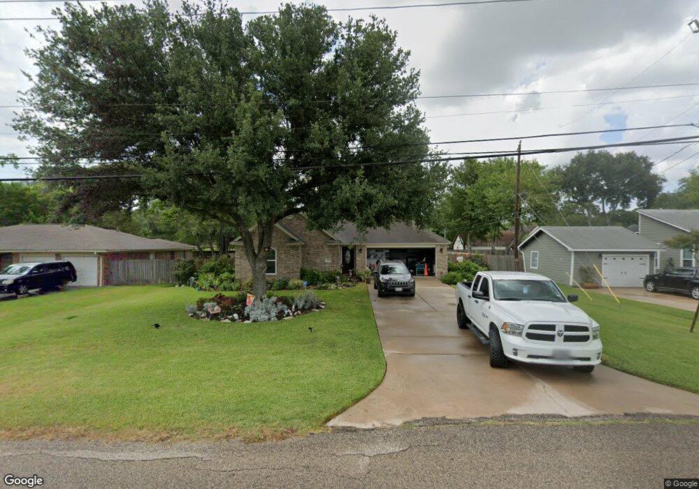
3509 Knapp Rd Pearland, TX 77581
Outlying Friendswood City NeighborhoodEstimated Value: $224,365 - $284,000
--
Bed
1
Bath
1,076
Sq Ft
$234/Sq Ft
Est. Value
About This Home
This home is located at 3509 Knapp Rd, Pearland, TX 77581 and is currently estimated at $251,841, approximately $234 per square foot. 3509 Knapp Rd is a home located in Brazoria County with nearby schools including Barbara Cockrell Elementary School, Leon H. Sablatura Middle School, and Pearland Junior High School West.
Ownership History
Date
Name
Owned For
Owner Type
Purchase Details
Closed on
Feb 10, 2012
Sold by
Gallagher John
Bought by
Pennington Irma and Gallagher Irma
Current Estimated Value
Purchase Details
Closed on
Aug 31, 1994
Sold by
Ausmus Homes
Bought by
Gallagher John Michael and Pennington Irma
Home Financials for this Owner
Home Financials are based on the most recent Mortgage that was taken out on this home.
Original Mortgage
$68,482
Interest Rate
8.52%
Create a Home Valuation Report for This Property
The Home Valuation Report is an in-depth analysis detailing your home's value as well as a comparison with similar homes in the area
Home Values in the Area
Average Home Value in this Area
Purchase History
| Date | Buyer | Sale Price | Title Company |
|---|---|---|---|
| Pennington Irma | -- | None Available | |
| Gallagher John Michael | -- | American Title Company |
Source: Public Records
Mortgage History
| Date | Status | Borrower | Loan Amount |
|---|---|---|---|
| Closed | Gallagher John Michael | $68,482 |
Source: Public Records
Tax History Compared to Growth
Tax History
| Year | Tax Paid | Tax Assessment Tax Assessment Total Assessment is a certain percentage of the fair market value that is determined by local assessors to be the total taxable value of land and additions on the property. | Land | Improvement |
|---|---|---|---|---|
| 2025 | $2,090 | $170,377 | $32,270 | $161,620 |
| 2023 | $2,090 | $140,807 | $32,270 | $158,920 |
| 2022 | $3,079 | $128,006 | $32,270 | $158,970 |
| 2021 | $2,998 | $161,490 | $32,270 | $129,220 |
| 2020 | $2,854 | $155,050 | $31,430 | $123,620 |
| 2019 | $2,595 | $139,270 | $28,060 | $111,210 |
| 2018 | $2,349 | $87,430 | $22,450 | $64,980 |
| 2017 | $3,356 | $124,280 | $28,060 | $96,220 |
| 2016 | $3,303 | $124,280 | $28,060 | $96,220 |
| 2014 | $2,677 | $110,390 | $19,460 | $90,930 |
Source: Public Records
Map
Nearby Homes
- 3406 Robinson Dr
- 3411 Glastonbury Dr
- 1006 Union Valley Dr
- 1219 Lazy Springs Ln
- 1106 Glenda St
- 1107 Barkly Ct
- 1112 Breckonridge Cir
- 3759 Knapp Rd
- 1417 Silver Rings Ct
- 3815 Alice St
- 3611 Bosc Dr
- 11222 Hall Meadows Ct
- 3433 Monarch Meadow Ln
- 3631 Bosc Dr
- 1604 Spring Glen Ln
- 1605 Spring Glen Ln
- 3627 Bartlett Way Dr
- 2107 N Main St
- 11203 Hall Ridge Ct
- 3407 Snowblossom Ct