3509 Penshurst Rd Rock Hill, SC 29730
Estimated Value: $547,000 - $775,000
--
Bed
--
Bath
3,100
Sq Ft
$210/Sq Ft
Est. Value
About This Home
This home is located at 3509 Penshurst Rd, Rock Hill, SC 29730 and is currently estimated at $650,491, approximately $209 per square foot. 3509 Penshurst Rd is a home located in York County with nearby schools including Lesslie Elementary School, Castle Heights Middle School, and Rock Hill High School.
Ownership History
Date
Name
Owned For
Owner Type
Purchase Details
Closed on
Jun 11, 2018
Sold by
Burnham Michael E
Bought by
Burnham Michael E
Current Estimated Value
Home Financials for this Owner
Home Financials are based on the most recent Mortgage that was taken out on this home.
Original Mortgage
$325,000
Interest Rate
4.5%
Mortgage Type
New Conventional
Purchase Details
Closed on
Jul 1, 2008
Sold by
Burnham Michael E
Bought by
Burnham Michael E and Michael E Burnham Trust
Create a Home Valuation Report for This Property
The Home Valuation Report is an in-depth analysis detailing your home's value as well as a comparison with similar homes in the area
Home Values in the Area
Average Home Value in this Area
Purchase History
| Date | Buyer | Sale Price | Title Company |
|---|---|---|---|
| Burnham Michael E | -- | None Available | |
| Burnham Michael E | -- | -- |
Source: Public Records
Mortgage History
| Date | Status | Borrower | Loan Amount |
|---|---|---|---|
| Closed | Burnham Michael E | $325,000 |
Source: Public Records
Tax History Compared to Growth
Tax History
| Year | Tax Paid | Tax Assessment Tax Assessment Total Assessment is a certain percentage of the fair market value that is determined by local assessors to be the total taxable value of land and additions on the property. | Land | Improvement |
|---|---|---|---|---|
| 2024 | $2,456 | $18,849 | $2,149 | $16,700 |
| 2023 | $2,517 | $18,849 | $2,149 | $16,700 |
| 2022 | $2,516 | $18,849 | $2,149 | $16,700 |
| 2021 | -- | $18,849 | $2,149 | $16,700 |
| 2020 | $2,504 | $18,849 | $0 | $0 |
| 2019 | $3,545 | $17,748 | $0 | $0 |
| 2018 | $3,497 | $17,748 | $0 | $0 |
| 2017 | $3,318 | $16,272 | $0 | $0 |
| 2016 | $3,215 | $17,748 | $0 | $0 |
| 2014 | $2,494 | $17,748 | $3,678 | $14,070 |
| 2013 | $2,494 | $15,318 | $3,678 | $11,640 |
Source: Public Records
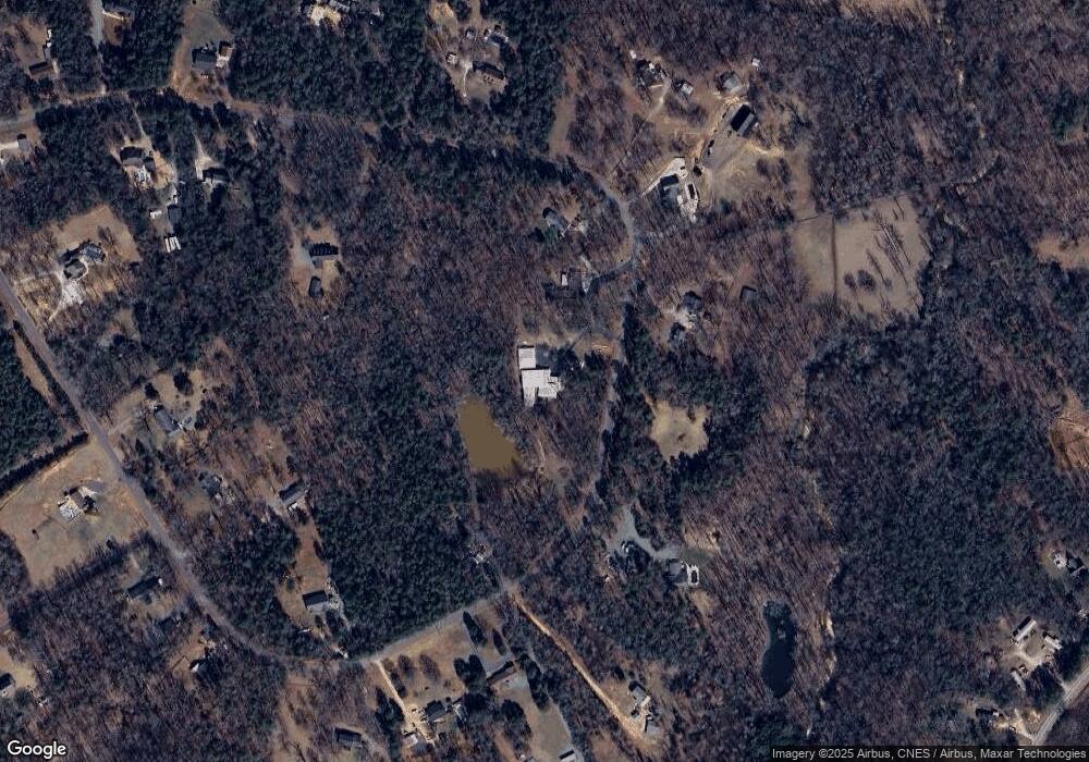
Map
Nearby Homes
- 57 Acres Woodstock Dr
- 1206 Old Friendship Rd
- 1673 George Dunn Rd
- Lot 2 Ratteree Farm Rd Unit 2
- 1012 Catawba Shores Dr
- 2213 Standing Together Ct
- 1756 White Fawn Ln
- 1385 Indigo Ct
- 2125 Partridge Berry Ln
- 5245 Highway 5 None
- 574 Karen Dr
- 686 Cannon Dr
- 1463 Glasscock Rd
- 00 Southwinds Ct Unit 24
- 3943 Walker Road (Land Only)
- 3388 Heisler Rd
- 4575 Cureton Ferry Rd
- 3943 Walker Rd Unit LOT ONLY
- 3943 Walker Rd
- 709 Pierce Ct
- 3555 Penshurst Rd
- 3516 Penshurst Rd
- 3540 Penshurst Rd
- 3552 Penshurst Rd
- 3583 Penshurst Rd
- 3564 Penshurst Rd
- 3564 Penshurst Rd
- 3564 Penshurst Rd
- 3564 Penshurst Rd
- 3475 Penshurst Rd
- 3490 Penshurst Rd
- 3461 Penshurst Rd
- 3580 Penshurst Rd
- 3464 Penshurst Rd
- 3480 Penshurst Rd
- 3415 Penshurst Rd
- 00 Penshurst Rd
- 3502 Penshurst Rd Unit Tract 11
- 3433 Penshurst Rd
- 3409 Penshurst Rd