350A Rr 4 Broken Arrow, OK 74014
Estimated Value: $230,000 - $264,000
--
Bed
1
Bath
1,328
Sq Ft
$191/Sq Ft
Est. Value
About This Home
This home is located at 350A Rr 4, Broken Arrow, OK 74014 and is currently estimated at $253,456, approximately $190 per square foot. 350A Rr 4 is a home located in Wagoner County with nearby schools including Donald P. Sloat Junior High School, Coweta Intermediate High School, and Coweta High School.
Ownership History
Date
Name
Owned For
Owner Type
Purchase Details
Closed on
Nov 3, 2022
Sold by
Latendresse Jacob D and Latendresse Hannah
Bought by
Nold James David and Nold Aubree Elizabeth
Current Estimated Value
Home Financials for this Owner
Home Financials are based on the most recent Mortgage that was taken out on this home.
Original Mortgage
$213,400
Outstanding Balance
$206,746
Interest Rate
6.92%
Mortgage Type
New Conventional
Estimated Equity
$46,710
Purchase Details
Closed on
Dec 16, 2020
Sold by
Welch Kathryn Denice
Bought by
Latendresse Jacob D
Home Financials for this Owner
Home Financials are based on the most recent Mortgage that was taken out on this home.
Original Mortgage
$157,575
Interest Rate
2.7%
Mortgage Type
New Conventional
Purchase Details
Closed on
Dec 21, 2001
Sold by
Pearson Floyd G
Bought by
Welch Ricky Wade and Kathryn Denise
Create a Home Valuation Report for This Property
The Home Valuation Report is an in-depth analysis detailing your home's value as well as a comparison with similar homes in the area
Home Values in the Area
Average Home Value in this Area
Purchase History
| Date | Buyer | Sale Price | Title Company |
|---|---|---|---|
| Nold James David | $220,000 | -- | |
| Latendresse Jacob D | $156,000 | None Available | |
| Welch Ricky Wade | $87,000 | -- |
Source: Public Records
Mortgage History
| Date | Status | Borrower | Loan Amount |
|---|---|---|---|
| Open | Nold James David | $213,400 | |
| Previous Owner | Latendresse Jacob D | $157,575 |
Source: Public Records
Tax History Compared to Growth
Tax History
| Year | Tax Paid | Tax Assessment Tax Assessment Total Assessment is a certain percentage of the fair market value that is determined by local assessors to be the total taxable value of land and additions on the property. | Land | Improvement |
|---|---|---|---|---|
| 2024 | $2,355 | $25,889 | $3,920 | $21,969 |
| 2023 | $2,259 | $24,882 | $3,920 | $20,962 |
| 2022 | $1,726 | $18,411 | $3,360 | $15,051 |
| 2021 | $1,682 | $17,577 | $3,360 | $14,217 |
| 2020 | $1,303 | $14,018 | $2,367 | $11,651 |
| 2019 | $1,265 | $13,351 | $2,247 | $11,104 |
| 2018 | $1,230 | $12,715 | $2,046 | $10,669 |
| 2017 | $1,149 | $12,110 | $1,773 | $10,337 |
| 2016 | $1,097 | $11,533 | $1,590 | $9,943 |
| 2015 | -- | $10,984 | $1,401 | $9,583 |
| 2014 | -- | $10,461 | $1,120 | $9,341 |
Source: Public Records
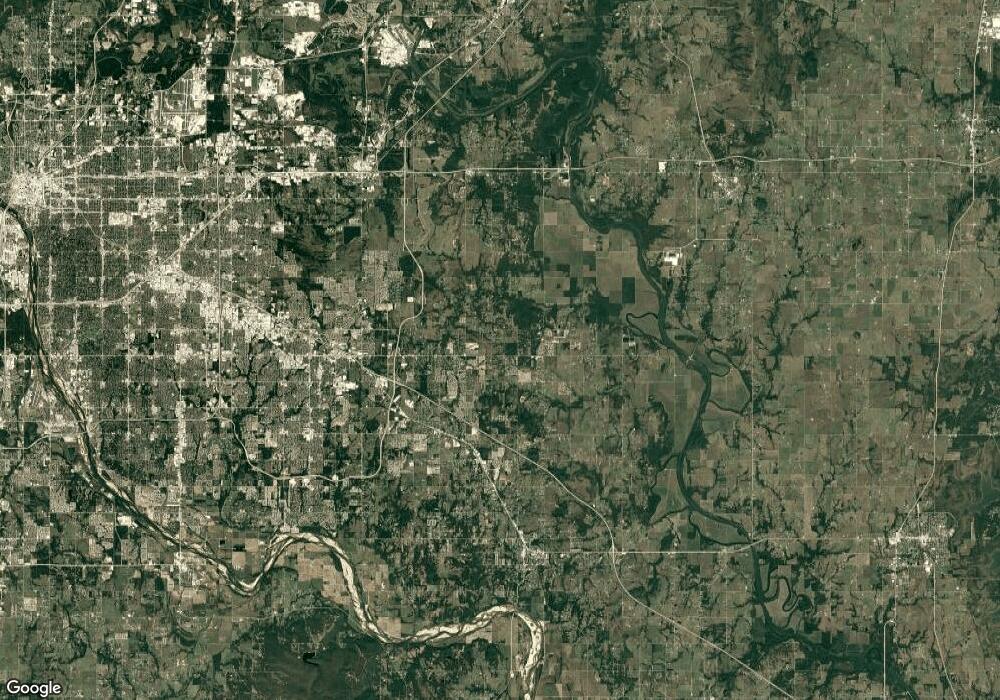
Map
Nearby Homes
- 34643 E 81st St S
- 6642 S 326th East Ave
- 6868 S 337th East Ave
- 42 Hansen Rd
- 6692 S 337th East Ave
- 9263 S Timber Wolf Dr
- 31820 E Two Socks Dr
- 9183 S Timber Wolf Dr
- 8425 S Wolf Creek Ave
- 8370 S Wolf Creek Ave
- 8128 S Ave
- 31411 E Two Socks Dr
- 8337 S Timber Wolf Dr
- 8403 S Timber Wolf Dr
- 31560 E Two Socks Dr
- 8167 S White Fang Ct
- 8140 S White Fang Ct
- 8622 S Timber Wolf Dr
- 34723 E 101st St S
- 35108 E 101st St S
- S S 337th Ave E
- 0 S 337th Ave E Unit 1818486
- 0 S 337th Ave E Unit 1842831
- 0 S 337th Ave E Unit 1843002
- 0 S 337th Ave E Unit 1918654
- 0 S 337th Ave E Unit 1935545
- 34717 E 81st St S
- 350D Rr 4
- 34767 E 81st St S
- 7776 S 337th East Ave
- 33602 E 81st St S
- 34993 E 81st St S
- 8458 S 337th East Ave
- 8226 S 337th East Ave
- 35011 E 81st St S
- 35011 E 81st St S
- 7820 S 337th East Ave
- 35081 E 81st St S
- 356 Rr 4
- 354A Rr 4
