Estimated Value: $40,000 - $49,000
2
Beds
1
Bath
744
Sq Ft
$60/Sq Ft
Est. Value
About This Home
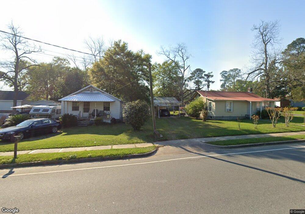
This home is located at 351 5th St NE, Cairo, GA 39828 and is currently estimated at $44,901, approximately $60 per square foot. 351 5th St NE is a home located in Grady County with nearby schools including Cairo High School.
Ownership History
Date
Name
Owned For
Owner Type
Purchase Details
Closed on
Jul 1, 2025
Sold by
Bates Joseph
Bought by
Jimenez Martinez Alfredo and Martinez Alfredo Jimenez
Current Estimated Value
Purchase Details
Closed on
May 4, 2007
Sold by
Kirkland Jimmy F
Bought by
Kirkland Johnnie M
Home Financials for this Owner
Home Financials are based on the most recent Mortgage that was taken out on this home.
Original Mortgage
$20,000
Interest Rate
6.12%
Mortgage Type
New Conventional
Purchase Details
Closed on
Feb 9, 1998
Sold by
White Tommy
Bought by
Kirkland Johnnie M
Purchase Details
Closed on
Jul 18, 1996
Sold by
Kirkland Jimmy F
Bought by
White Tommy
Purchase Details
Closed on
Jan 11, 1979
Bought by
Kirkland Jimmy F
Create a Home Valuation Report for This Property
The Home Valuation Report is an in-depth analysis detailing your home's value as well as a comparison with similar homes in the area
Purchase History
| Date | Buyer | Sale Price | Title Company |
|---|---|---|---|
| Jimenez Martinez Alfredo | $38,000 | -- | |
| Kirkland Johnnie M | -- | -- | |
| Bates Joseph E | $25,000 | -- | |
| Kirkland Johnnie M | $15,000 | -- | |
| White Tommy | $15,000 | -- | |
| Kirkland Jimmy F | -- | -- |
Source: Public Records
Mortgage History
| Date | Status | Borrower | Loan Amount |
|---|---|---|---|
| Previous Owner | Bates Joseph E | $20,000 |
Source: Public Records
Tax History
| Year | Tax Paid | Tax Assessment Tax Assessment Total Assessment is a certain percentage of the fair market value that is determined by local assessors to be the total taxable value of land and additions on the property. | Land | Improvement |
|---|---|---|---|---|
| 2024 | $482 | $17,624 | $880 | $16,744 |
| 2023 | $389 | $12,161 | $1,409 | $10,752 |
| 2022 | $407 | $12,161 | $1,409 | $10,752 |
| 2021 | $408 | $12,161 | $1,409 | $10,752 |
| 2020 | $409 | $12,161 | $1,409 | $10,752 |
| 2019 | $409 | $12,161 | $1,409 | $10,752 |
| 2018 | $389 | $12,161 | $1,409 | $10,752 |
| 2017 | $375 | $12,161 | $1,409 | $10,752 |
| 2016 | $308 | $10,062 | $1,409 | $8,653 |
| 2015 | $305 | $10,062 | $1,409 | $8,653 |
| 2014 | $305 | $10,062 | $1,409 | $8,653 |
| 2013 | -- | $8,800 | $1,408 | $7,392 |
Source: Public Records
Map
Nearby Homes
- 00 Blackberry Ln
- 00 Meridian Rd
- Lot #15, 3 64 Acres Oakbend Cir
- 711 2nd Ave NE
- 4761 Hadley Ferry Rd
- 309 3rd St SE
- 2975 U S 84
- 00 Hwy 111 South Tract 1
- X 1st St
- 0 1st St
- 125 6th Ave NW
- 471 4th St SE
- 00 00 Hwy 111 South Tract 2
- 112 9th Ave NW
- 530 6th Ave SE
- 220 8th Ave NW
- 408 Bay Tree Rd NE
- 909 4th St NW
- 0 20th St NE
- 00 20th St NE
Your Personal Tour Guide
Ask me questions while you tour the home.