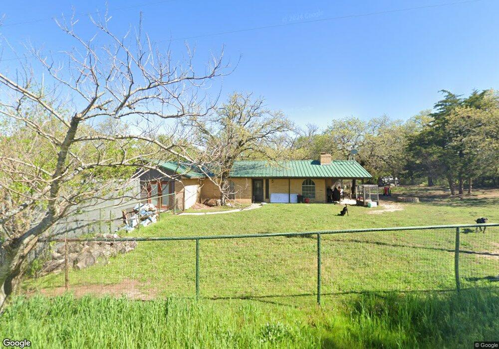
351 Baggett Rd Weatherford, TX 76085
Estimated Value: $348,000 - $383,041
3
Beds
2
Baths
1,753
Sq Ft
$209/Sq Ft
Est. Value
About This Home
This home is located at 351 Baggett Rd, Weatherford, TX 76085 and is currently estimated at $365,521, approximately $208 per square foot. 351 Baggett Rd is a home located in Parker County with nearby schools including Crockett Elementary School, Tison Middle School, and Weatherford High School.
Ownership History
Date
Name
Owned For
Owner Type
Purchase Details
Closed on
Nov 30, 2017
Sold by
Tyree John E and Tyree Donna
Bought by
Noll Justin Robert
Current Estimated Value
Home Financials for this Owner
Home Financials are based on the most recent Mortgage that was taken out on this home.
Original Mortgage
$231,725
Outstanding Balance
$197,363
Interest Rate
4.4%
Mortgage Type
FHA
Estimated Equity
$168,158
Purchase Details
Closed on
Jan 28, 2000
Sold by
Payne Bill W
Bought by
Tyree John E
Purchase Details
Closed on
Jan 1, 1901
Bought by
Tyree John E
Create a Home Valuation Report for This Property
The Home Valuation Report is an in-depth analysis detailing your home's value as well as a comparison with similar homes in the area
Home Values in the Area
Average Home Value in this Area
Purchase History
| Date | Buyer | Sale Price | Title Company |
|---|---|---|---|
| Noll Justin Robert | -- | None Available | |
| Tyree John E | -- | -- | |
| Tyree John E | -- | -- |
Source: Public Records
Mortgage History
| Date | Status | Borrower | Loan Amount |
|---|---|---|---|
| Open | Noll Justin Robert | $231,725 |
Source: Public Records
Tax History Compared to Growth
Tax History
| Year | Tax Paid | Tax Assessment Tax Assessment Total Assessment is a certain percentage of the fair market value that is determined by local assessors to be the total taxable value of land and additions on the property. | Land | Improvement |
|---|---|---|---|---|
| 2025 | $2,525 | $240,460 | -- | -- |
| 2024 | $2,525 | $218,600 | $29,880 | $188,720 |
| 2023 | $2,525 | $212,010 | $0 | $0 |
| 2022 | $3,588 | $215,140 | $21,950 | $193,190 |
| 2021 | $3,529 | $225,140 | $21,950 | $203,190 |
| 2020 | $3,231 | $170,580 | $18,880 | $151,700 |
| 2019 | $3,114 | $169,580 | $18,880 | $150,700 |
| 2018 | $2,846 | $130,820 | $11,930 | $118,890 |
| 2017 | $2,903 | $130,800 | $11,910 | $118,890 |
| 2016 | $2,809 | $126,540 | $11,910 | $114,630 |
| 2015 | $2,218 | $126,540 | $11,910 | $114,630 |
| 2014 | $2,083 | $107,870 | $11,910 | $95,960 |
Source: Public Records
Map
Nearby Homes
- Lot 118 Stonebridge Dr
- Lot 117 Stonebridge Dr
- 368 Green Branch Rd
- 107 W Stagecoach Trail
- 104 W Stagecoach Trail
- 737 Green Branch Rd
- 161 Cochran Rd
- 901 Green Branch Rd
- 401 Old Agnes Rd
- 171 Jupiter Trail
- 280 Jupiter Trail
- 300 Jupiter Trail
- 3930 Old Springtown Rd
- 309 Old Agnes Rd
- 400 Texas Sage Trail
- 524 Lantana Dr
- Aster Plan at Eagle Ridge Estates
- Cedar Sage Plan at Eagle Ridge Estates
- 408 Texas Sage Trail
- 424 Texas Sage Trail
- 491 Baggett Rd
- 460 Baggett Rd
- 200 Baggett Rd
- 191 Baggett Rd
- 3220 N Fm 51
- 490 Baggett Rd
- 141 Baggett Rd
- 136 Sandy Creek Trail
- 3300 N Fm 51
- 70 N Star Crossin
- 3104 N Fm 51
- 3104 Fm Road 51 N
- 3100 N Fm 51
- 3108 N Fm 51
- 288 Baggett Rd
- 118 Sandy Creek Trail
- 350 Baggett Rd
- 3224 N Fm 51
- 3374 S Forty Dr
- 3382 S Forty Dr