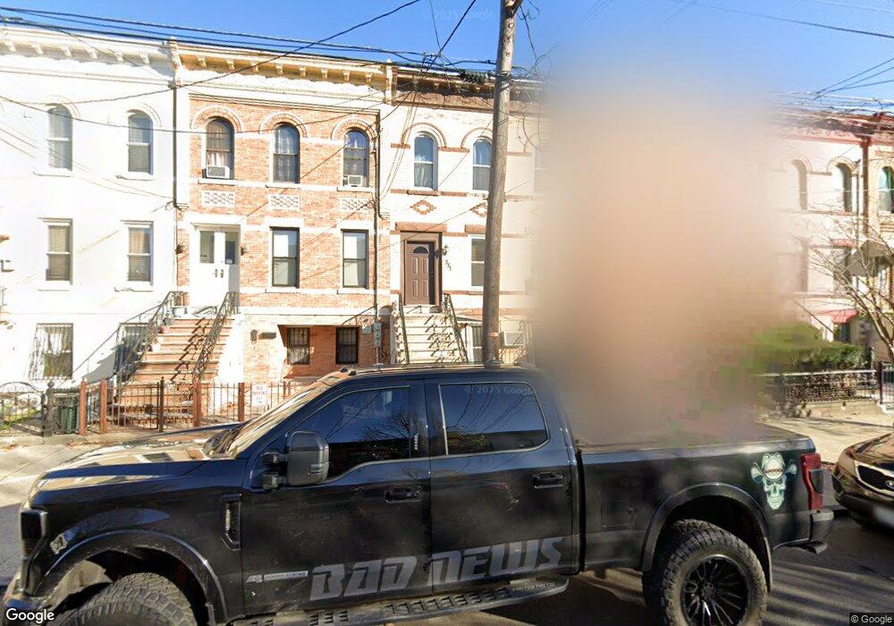
351 Bradford St Brooklyn, NY 11207
East New York NeighborhoodEstimated Value: $918,170 - $1,194,000
--
Bed
--
Bath
2,760
Sq Ft
$369/Sq Ft
Est. Value
About This Home
This home is located at 351 Bradford St, Brooklyn, NY 11207 and is currently estimated at $1,019,043, approximately $369 per square foot. 351 Bradford St is a home located in Kings County with nearby schools including P.S. 149 Danny Kaye, J.H.S 292 Margaret S. Douglas, and Hyde Leadership Charter School-Brooklyn.
Ownership History
Date
Name
Owned For
Owner Type
Purchase Details
Closed on
Nov 4, 2009
Sold by
Dandy Wilma and Thompson Wilma D
Bought by
Wilma A Dandy Living Revocable Trust and Wilma A Dandy Trustee
Current Estimated Value
Purchase Details
Closed on
Sep 11, 1998
Sold by
Thompson Richard I
Bought by
Dandy Wilma and Thompson Wilma D
Create a Home Valuation Report for This Property
The Home Valuation Report is an in-depth analysis detailing your home's value as well as a comparison with similar homes in the area
Home Values in the Area
Average Home Value in this Area
Purchase History
| Date | Buyer | Sale Price | Title Company |
|---|---|---|---|
| Wilma A Dandy Living Revocable Trust | -- | -- | |
| Wilma A Dandy Living Revocable Trust | -- | -- | |
| Dandy Wilma | -- | Commonwealth Land Title Ins | |
| Dandy Wilma | -- | Commonwealth Land Title Ins |
Source: Public Records
Tax History Compared to Growth
Tax History
| Year | Tax Paid | Tax Assessment Tax Assessment Total Assessment is a certain percentage of the fair market value that is determined by local assessors to be the total taxable value of land and additions on the property. | Land | Improvement |
|---|---|---|---|---|
| 2025 | $2,770 | $74,700 | $20,040 | $54,660 |
| 2024 | $2,770 | $61,380 | $20,040 | $41,340 |
| 2023 | $2,648 | $59,760 | $20,040 | $39,720 |
| 2022 | $1,844 | $51,900 | $20,040 | $31,860 |
| 2021 | $2,450 | $43,980 | $20,040 | $23,940 |
| 2020 | $1,218 | $42,480 | $20,040 | $22,440 |
| 2019 | $2,404 | $42,480 | $20,040 | $22,440 |
| 2018 | $2,215 | $10,866 | $7,422 | $3,444 |
| 2017 | $2,093 | $10,268 | $6,351 | $3,917 |
| 2016 | $1,940 | $9,703 | $5,447 | $4,256 |
| 2015 | $949 | $9,703 | $5,701 | $4,002 |
| 2014 | $949 | $9,578 | $5,762 | $3,816 |
Source: Public Records
Map
Nearby Homes
- 440 Miller Ave
- 443 Miller Ave
- 459 Miller Ave
- 412 Bradford St
- 402 van Siclen Ave
- 414 Miller Ave
- 342 Wyona St
- 419 van Siclen Ave
- 439 Vermont St
- 774 Blake Ave
- 358 van Siclen Ave
- 346 van Siclen Ave
- 459 Belmont Ave
- 477 Vermont St
- 667 Sutter Ave
- 663 Sutter Ave
- 412 Hendrix St
- 486 Vermont St
- 444 New Jersey Ave
- 2210 Pitkin Ave
- 353 Bradford St
- 355 Bradford St
- 349 Bradford St
- 357 Bradford St
- 359 Bradford St
- 347 Bradford St
- 361 Bradford St
- 345 Bradford St
- 363 Bradford St
- 343 Bradford St
- 343 Bradford St Unit 1
- 420 Miller Ave
- 418 Miller Ave
- 422 Miller Ave
- 416 Miller Ave
- 428 Miller Ave
- 341 Bradford St Unit 3
- 341 Bradford St
- 412 Miller Ave
- 410 Miller Ave