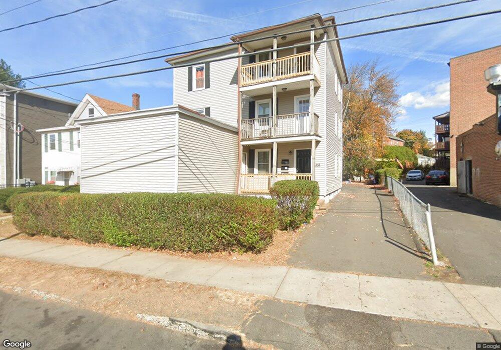
351 Broad St New Britain, CT 06053
Estimated Value: $396,000 - $470,000
6
Beds
6
Baths
2,688
Sq Ft
$162/Sq Ft
Est. Value
About This Home
This home is located at 351 Broad St, New Britain, CT 06053 and is currently estimated at $434,667, approximately $161 per square foot. 351 Broad St is a home located in Hartford County with nearby schools including Lincoln School, Slade Middle School, and Mountain Laurel Sudbury School.
Ownership History
Date
Name
Owned For
Owner Type
Purchase Details
Closed on
Aug 10, 2016
Sold by
Dzilenski David and Dzilenski Paul
Bought by
Freedom Property Llc
Current Estimated Value
Home Financials for this Owner
Home Financials are based on the most recent Mortgage that was taken out on this home.
Original Mortgage
$110,000
Outstanding Balance
$87,767
Interest Rate
3.48%
Mortgage Type
Purchase Money Mortgage
Estimated Equity
$346,900
Create a Home Valuation Report for This Property
The Home Valuation Report is an in-depth analysis detailing your home's value as well as a comparison with similar homes in the area
Home Values in the Area
Average Home Value in this Area
Purchase History
| Date | Buyer | Sale Price | Title Company |
|---|---|---|---|
| Freedom Property Llc | $70,000 | -- |
Source: Public Records
Mortgage History
| Date | Status | Borrower | Loan Amount |
|---|---|---|---|
| Open | Freedom Property Llc | $110,000 |
Source: Public Records
Tax History Compared to Growth
Tax History
| Year | Tax Paid | Tax Assessment Tax Assessment Total Assessment is a certain percentage of the fair market value that is determined by local assessors to be the total taxable value of land and additions on the property. | Land | Improvement |
|---|---|---|---|---|
| 2025 | $8,006 | $204,330 | $35,700 | $168,630 |
| 2024 | $8,089 | $204,330 | $35,700 | $168,630 |
| 2023 | $7,822 | $204,330 | $35,700 | $168,630 |
| 2022 | $5,353 | $108,150 | $11,830 | $96,320 |
| 2021 | $5,353 | $108,150 | $11,830 | $96,320 |
| 2020 | $5,462 | $108,150 | $11,830 | $96,320 |
| 2019 | $5,462 | $108,150 | $11,830 | $96,320 |
| 2018 | $5,462 | $108,150 | $11,830 | $96,320 |
| 2017 | $3,942 | $78,050 | $12,320 | $65,730 |
| 2016 | $3,942 | $78,050 | $12,320 | $65,730 |
| 2015 | $3,824 | $78,050 | $12,320 | $65,730 |
| 2014 | $3,824 | $78,050 | $12,320 | $65,730 |
Source: Public Records
Map
Nearby Homes
- 45 Clinton St
- 335 Broad St
- 25 Clinton St
- 19 Pulaski St
- 18 Cross St
- 179 Broad St
- 19 Ridgewood St
- 7 Doris St
- 43 Westerly St
- 38 Westerly St
- 144 Overhill Ave
- 102 Mitchell St
- 235 High St Unit C
- 300 W Main St
- 240 Washington St
- 124 Biruta St Unit J3, 29A
- 14 Park Place Unit 4
- 79 Hillhurst Ave
- 66 Lincoln St
- 19 Hayes St
- 351 Broad St Unit 2
- 351 Broad St Unit 1
- 361 Broad St
- 365 Broad St Unit 1E
- 365 Broad St Unit 3W
- 365 Broad St
- 272 Burritt St
- 272 Burritt St Unit 3rd floor
- 294 Burritt St
- 264 Burritt St
- 344 Broad St
- 344 Broad St Unit 2
- 371 Broad St
- 22 Clinton St
- 300 Burritt St
- 36 Clinton St
- 26 Clinton St
- 40 Clinton St
- 265 Burritt St Unit 206