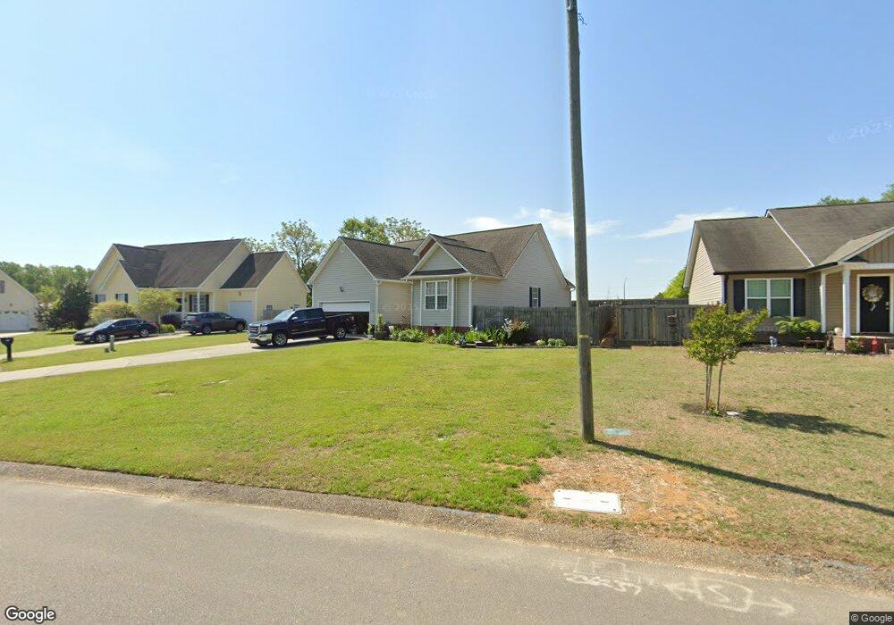
351 Cambridge Dr Angier, NC 27501
Estimated Value: $262,000 - $272,016
3
Beds
2
Baths
1,200
Sq Ft
$222/Sq Ft
Est. Value
About This Home
This home is located at 351 Cambridge Dr, Angier, NC 27501 and is currently estimated at $266,504, approximately $222 per square foot. 351 Cambridge Dr is a home located in Harnett County with nearby schools including Angier Elementary School, North Harnett Primary School, and Harnett Central Middle School.
Ownership History
Date
Name
Owned For
Owner Type
Purchase Details
Closed on
Jun 14, 2021
Sold by
Holiday Cynthia L and Holiday Lamont
Bought by
Holiday Cynthia L and Holiday Lamont
Current Estimated Value
Home Financials for this Owner
Home Financials are based on the most recent Mortgage that was taken out on this home.
Original Mortgage
$152,500
Outstanding Balance
$138,070
Interest Rate
2.9%
Mortgage Type
New Conventional
Estimated Equity
$128,434
Purchase Details
Closed on
Dec 27, 2001
Bought by
Hickman Cynthia T
Create a Home Valuation Report for This Property
The Home Valuation Report is an in-depth analysis detailing your home's value as well as a comparison with similar homes in the area
Home Values in the Area
Average Home Value in this Area
Purchase History
| Date | Buyer | Sale Price | Title Company |
|---|---|---|---|
| Holiday Cynthia L | -- | None Available | |
| Hickman Cynthia T | $106,500 | -- |
Source: Public Records
Mortgage History
| Date | Status | Borrower | Loan Amount |
|---|---|---|---|
| Open | Holiday Cynthia L | $152,500 |
Source: Public Records
Tax History Compared to Growth
Tax History
| Year | Tax Paid | Tax Assessment Tax Assessment Total Assessment is a certain percentage of the fair market value that is determined by local assessors to be the total taxable value of land and additions on the property. | Land | Improvement |
|---|---|---|---|---|
| 2025 | $2,287 | $188,869 | $0 | $0 |
| 2024 | $2,287 | $188,869 | $0 | $0 |
| 2023 | $2,268 | $188,869 | $0 | $0 |
| 2022 | $1,867 | $188,869 | $0 | $0 |
| 2021 | $1,867 | $131,990 | $0 | $0 |
| 2020 | $1,867 | $131,990 | $0 | $0 |
| 2019 | $1,852 | $131,990 | $0 | $0 |
| 2018 | $1,852 | $131,990 | $0 | $0 |
| 2017 | $1,852 | $131,990 | $0 | $0 |
| 2016 | $1,772 | $126,070 | $0 | $0 |
| 2015 | $1,772 | $126,070 | $0 | $0 |
| 2014 | $1,772 | $126,070 | $0 | $0 |
Source: Public Records
Map
Nearby Homes
- 56 Twin Birch Dr
- 52 Twin Birch Dr
- 157 Vaughan Farms Dr
- 127 Vaughan Farms Dr
- 44 Twin Birch Dr
- 119 Vaughan Farms Dr
- 22 Twin Birch Dr
- 18 Twin Birch Dr
- Redwood Plan at Vaughan Farms
- Shenandoah Plan at Vaughan Farms
- Aurora II Plan at Vaughan Farms
- Summit Plan at Vaughan Farms
- Cascades Plan at Vaughan Farms
- Glades Plan at Vaughan Farms
- Aurora Plan at Vaughan Farms
- 140 Vaughan Farms Dr
- 148 Vaughan Farms Dr
- 158 Dr
- 212 Thistle Patch Place
- 11 Silver Pine Dr
- 367 Cambridge Dr
- 339 Cambridge Dr
- 381 Cambridge Dr
- 314 Cambridge Dr
- 374 Cambridge Dr
- 335 Cambridge Dr
- 325 Cambridge Dr
- 2508 N Carolina 55
- 391 Cambridge Dr
- 311 Cambridge Dr
- 394 Cambridge Dr
- 292 Cambridge Dr
- 291 Cambridge Dr
- 420 Cambridge Dr
- 272 Cambridge Dr
- 425 Cambridge Dr
- 271 Cambridge Dr
- 6802 Nc 55 W
- 26 Rene Cir Unit L29
- 26 Rene Cir