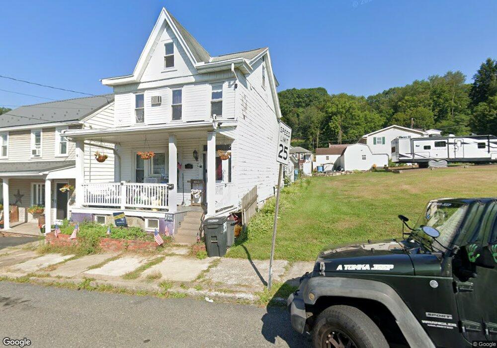
351 Coal St Port Carbon, PA 17965
Estimated Value: $120,000 - $152,792
3
Beds
2
Baths
1,803
Sq Ft
$72/Sq Ft
Est. Value
About This Home
This home is located at 351 Coal St, Port Carbon, PA 17965 and is currently estimated at $129,448, approximately $71 per square foot. 351 Coal St is a home located in Schuylkill County with nearby schools including Clarke Elementary Center, Lengel Middle School, and Pottsville Area High School.
Ownership History
Date
Name
Owned For
Owner Type
Purchase Details
Closed on
Jun 30, 2005
Sold by
Schroding Henry L and Shappell Dorothea E
Bought by
Hill Jeremy
Current Estimated Value
Home Financials for this Owner
Home Financials are based on the most recent Mortgage that was taken out on this home.
Original Mortgage
$69,900
Outstanding Balance
$36,512
Interest Rate
5.67%
Mortgage Type
New Conventional
Estimated Equity
$92,936
Create a Home Valuation Report for This Property
The Home Valuation Report is an in-depth analysis detailing your home's value as well as a comparison with similar homes in the area
Home Values in the Area
Average Home Value in this Area
Purchase History
| Date | Buyer | Sale Price | Title Company |
|---|---|---|---|
| Hill Jeremy | $69,900 | None Available |
Source: Public Records
Mortgage History
| Date | Status | Borrower | Loan Amount |
|---|---|---|---|
| Open | Hill Jeremy | $69,900 |
Source: Public Records
Tax History Compared to Growth
Tax History
| Year | Tax Paid | Tax Assessment Tax Assessment Total Assessment is a certain percentage of the fair market value that is determined by local assessors to be the total taxable value of land and additions on the property. | Land | Improvement |
|---|---|---|---|---|
| 2025 | $2,349 | $28,940 | $5,210 | $23,730 |
| 2024 | $2,140 | $28,940 | $5,210 | $23,730 |
| 2023 | $2,140 | $28,940 | $5,210 | $23,730 |
| 2022 | $2,114 | $28,940 | $5,210 | $23,730 |
| 2021 | $2,132 | $28,940 | $5,210 | $23,730 |
| 2020 | $2,086 | $28,940 | $5,210 | $23,730 |
| 2018 | $1,988 | $28,940 | $5,210 | $23,730 |
| 2017 | $1,860 | $28,940 | $5,210 | $23,730 |
| 2015 | -- | $28,940 | $5,210 | $23,730 |
| 2011 | -- | $28,940 | $0 | $0 |
Source: Public Records
Map
Nearby Homes
- 337 Coal St
- 308 Wilson Ave
- 2 Ridgeside Dr
- 25 N Coal St
- 542 3rd St
- 5 E Washington St
- 219 Pike St
- 103 Market St
- 10 Tuscarora St
- 806 Park Ave
- 344 E Bacon St
- 211 E Bacon St
- 1407 E Norwegian St
- 0 Port Carbon Saint Clair Hwy
- 111 Fox St
- 29 E Savory St
- 665 Port Carbon Saint Clair Hwy
- 702 & 698 Port Carbon St Clair Hwy
- 21 Park St
- 714 Port Carbon Saint Clair Hwy