351 Council Hill Rd Lakeside, OR 97449
Estimated Value: $812,661
4
Beds
4
Baths
4,199
Sq Ft
$194/Sq Ft
Est. Value
About This Home
This home is located at 351 Council Hill Rd, Lakeside, OR 97449 and is currently estimated at $812,661, approximately $193 per square foot. 351 Council Hill Rd is a home located in Coos County with nearby schools including North Bay Elementary School, Hillcrest Elementary School, and North Bend Middle School.
Ownership History
Date
Name
Owned For
Owner Type
Purchase Details
Closed on
Nov 21, 2013
Sold by
Danielson Gareth and Danielson Shirley F
Bought by
Shank Gregory Scott and Shank Audrey Chapin
Current Estimated Value
Home Financials for this Owner
Home Financials are based on the most recent Mortgage that was taken out on this home.
Original Mortgage
$417,000
Outstanding Balance
$310,360
Interest Rate
4.18%
Mortgage Type
Commercial
Estimated Equity
$502,301
Create a Home Valuation Report for This Property
The Home Valuation Report is an in-depth analysis detailing your home's value as well as a comparison with similar homes in the area
Home Values in the Area
Average Home Value in this Area
Purchase History
| Date | Buyer | Sale Price | Title Company |
|---|---|---|---|
| Shank Gregory Scott | $445,000 | Ticor Title Company |
Source: Public Records
Mortgage History
| Date | Status | Borrower | Loan Amount |
|---|---|---|---|
| Open | Shank Gregory Scott | $417,000 |
Source: Public Records
Tax History Compared to Growth
Tax History
| Year | Tax Paid | Tax Assessment Tax Assessment Total Assessment is a certain percentage of the fair market value that is determined by local assessors to be the total taxable value of land and additions on the property. | Land | Improvement |
|---|---|---|---|---|
| 2024 | $5,343 | $571,720 | -- | -- |
| 2023 | $5,188 | $555,070 | $0 | $0 |
| 2022 | $5,155 | $538,910 | $0 | $0 |
| 2021 | $5,058 | $498,310 | $0 | $0 |
| 2020 | $4,595 | $453,000 | $0 | $0 |
| 2019 | $4,600 | $462,240 | $0 | $0 |
| 2018 | $4,315 | $432,000 | $0 | $0 |
| 2017 | $4,316 | $431,990 | $0 | $0 |
| 2016 | $4,230 | $423,110 | $0 | $0 |
| 2015 | $5,701 | $352,650 | $0 | $0 |
| 2014 | $5,701 | $408,200 | $0 | $0 |
Source: Public Records
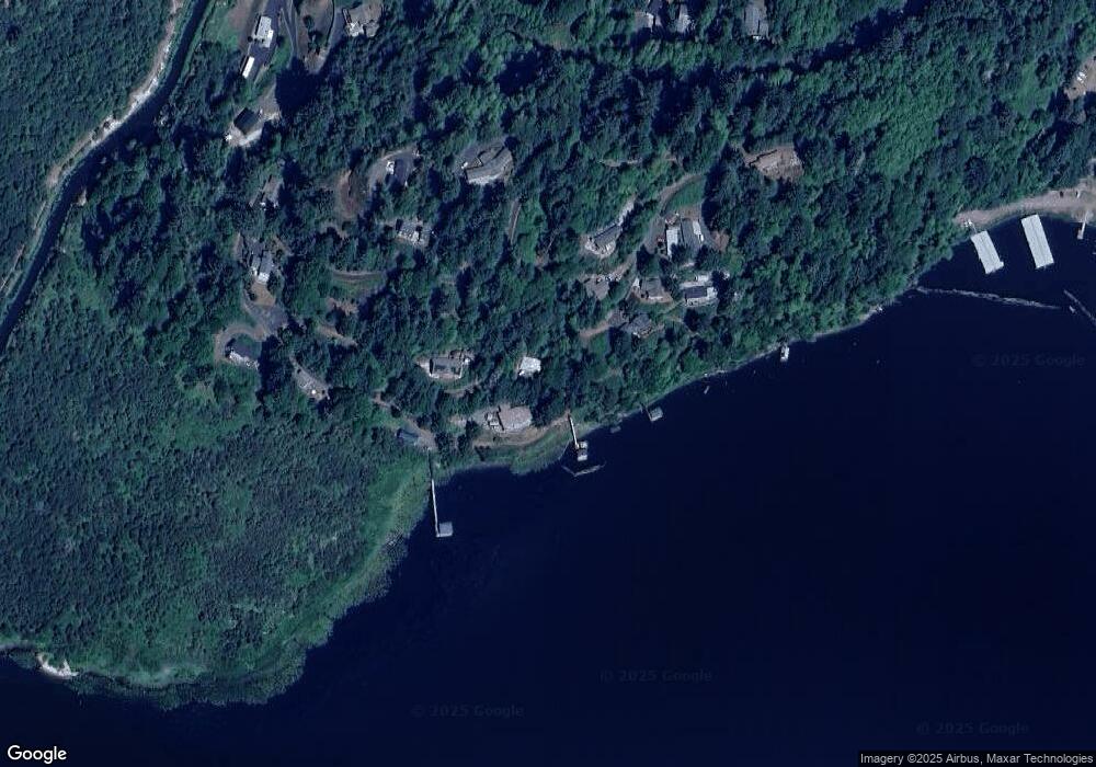
Map
Nearby Homes
- 411 Tenmile Terrace
- 300 Council Hill Rd
- 311 Council Hill Rd
- 7 Pond Ln
- 2 Pine Ln
- 4 Creek Ln
- 3062 S Tenmile Lake
- 3196 S Tenmile Lake
- 95561 N Lake Ln
- 0 Lakeland Dr Unit 234/235 462029709
- 150 N 13th St
- 4372 S Tenmile Lake
- 165 S 11th St
- 2582 S Tenmile Lake
- 1010 N Lake Rd
- 150 N 10th St
- 236 Widgeon Ln
- 227 Lakeland Dr
- 70946 Devore Arm Rd
- 700 Park Ave Unit 703,625
- 0 Myrtle Blvd
- 331 Myrtle Beach Blvd
- 420 Tenmile Terrace
- 410 Tenmile Terrace
- 421 Tenmile Terrace
- 0 Council Hill Rd Unit 1005 23695265
- 0 Council Hill Rd Unit 20255696
- 0 Council Hill Rd Unit 19557603
- 0 Council Hill Rd Unit 104 19412876
- 0 Council Hill Rd Unit 8002229
- 0 Council Hill Rd Unit 11143918
- 0 Council Hill Rd Unit 14409940
- 0 Council Hill Rd Unit TL120 14299886
- 0 Council Hill Rd
- 281 Council Hill Way
- 400 Tenmile Terrace
- 331 Myrtle Blvd
- 321 Myrtle Blvd
- 203 Osprey Heights
- 281 Council Hill Rd