351 Covered Bridge Blvd Unit 351A Lake Worth, FL 33467
Estimated Value: $136,529 - $177,000
1
Bed
1
Bath
1,024
Sq Ft
$147/Sq Ft
Est. Value
About This Home
This home is located at 351 Covered Bridge Blvd Unit 351A, Lake Worth, FL 33467 and is currently estimated at $150,382, approximately $146 per square foot. 351 Covered Bridge Blvd Unit 351A is a home located in Palm Beach County with nearby schools including Liberty Park Elementary School, Okeeheelee Middle School, and Montessori Academy of Early Enrichment.
Ownership History
Date
Name
Owned For
Owner Type
Purchase Details
Closed on
May 13, 2015
Sold by
Mackinnon Margaret L and Mackinnon George Y
Bought by
Killoran Hubert M
Current Estimated Value
Purchase Details
Closed on
Mar 19, 2013
Sold by
Mackinnon Margaret L
Bought by
Mackinnon Margaret L
Purchase Details
Closed on
May 3, 2010
Sold by
Urquhart William S
Bought by
Urquhart Wm S
Purchase Details
Closed on
Jan 26, 2000
Sold by
Allen J Weisman Tr and Sylvia M Weisman Tr
Bought by
Urquhart William S
Create a Home Valuation Report for This Property
The Home Valuation Report is an in-depth analysis detailing your home's value as well as a comparison with similar homes in the area
Home Values in the Area
Average Home Value in this Area
Purchase History
| Date | Buyer | Sale Price | Title Company |
|---|---|---|---|
| Killoran Hubert M | $58,000 | First Intl Title Inc | |
| Mackinnon Margaret L | -- | None Available | |
| Urquhart Wm S | -- | None Available | |
| Urquhart William S | $32,000 | -- |
Source: Public Records
Tax History Compared to Growth
Tax History
| Year | Tax Paid | Tax Assessment Tax Assessment Total Assessment is a certain percentage of the fair market value that is determined by local assessors to be the total taxable value of land and additions on the property. | Land | Improvement |
|---|---|---|---|---|
| 2024 | $592 | $43,842 | -- | -- |
| 2023 | $564 | $42,565 | $0 | $0 |
| 2022 | $548 | $41,325 | $0 | $0 |
| 2021 | $518 | $40,121 | $0 | $0 |
| 2020 | $506 | $39,567 | $0 | $0 |
| 2019 | $496 | $38,677 | $0 | $0 |
| 2018 | $478 | $37,956 | $0 | $0 |
| 2017 | $455 | $37,175 | $0 | $0 |
| 2016 | $445 | $36,410 | $0 | $0 |
| 2015 | $913 | $33,880 | $0 | $0 |
| 2014 | $850 | $30,800 | $0 | $0 |
Source: Public Records
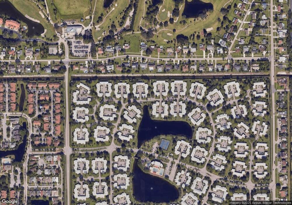
Map
Nearby Homes
- 342 Covered Bridge Blvd Unit B
- 352 Covered Bridge Blvd Unit A
- 676 B Laconia Cr Unit B
- 316 Cape Cod Cir Unit B
- 176 Cape Cod Cir
- 545 Covered Bridge Blvd Unit B
- 207 Cape Cod Cir
- 603 Laconia Cir Unit 603
- 445 Franconia Cir
- 604 Laconia Cir Unit B
- 442 Franconia Cir
- 522 Franconia Cir Unit A
- 165 Amherst Ln
- 448 Franconia Cir Unit B
- 528 Franconia Cir
- 127 Amherst Ln Unit 127
- 114 Amherst Ln
- 123 Amherst Ln
- 289 Cape Cod Cir
- 734 Nantucket Cir Unit 734
- 351 Covered Bridge Blvd Unit B
- 342 Covered Bridge Blvd
- 341 Covered Bridge Blvd Unit 341B
- 342 Covered Bridge Blvd Unit 342A
- 351 Covered Bridge Blvd Unit 351B
- 352 Covered Bridge Blvd Unit 352A
- 341 Covered Bridge Blvd Unit 341A
- 342 Covered Bridge Blvd Unit 342B
- 352 Covered Bridge Blvd Unit 352B
- 351 Covered Bridge Blvd Unit A
- 341 Covered Bridge Blvd Unit A
- 346 Covered Bridge Blvd
- 348 Covered Bridge Blvd Unit 348
- 344 Covered Bridge Blvd Unit 344
- 350 Covered Bridge Blvd Unit 350
- 339 Cape Cod Cir Unit B
- 330 Cape Cod Cir Unit B
- 340 Cape Cod Cir Unit 340B
- 340 Cape Cod Cir Unit 340A
- 329 Cape Cod Cir Unit 329A