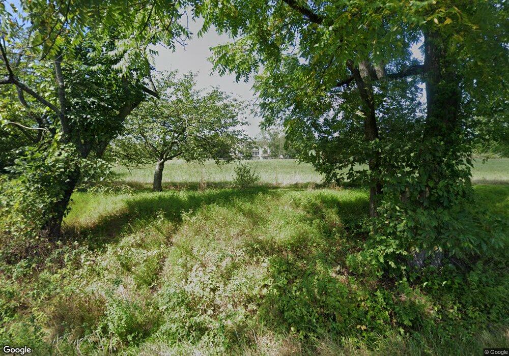
351 Covered Bridge Rd New Hope, PA 18938
Estimated Value: $2,889,848 - $5,088,000
4
Beds
5
Baths
8,000
Sq Ft
$474/Sq Ft
Est. Value
About This Home
This home is located at 351 Covered Bridge Rd, New Hope, PA 18938 and is currently estimated at $3,789,283, approximately $473 per square foot. 351 Covered Bridge Rd is a home located in Bucks County with nearby schools including New Hope-Solebury Upper Elementary School, New Hope-Solebury Lower Elementary School, and New Hope-Solebury Middle School.
Ownership History
Date
Name
Owned For
Owner Type
Purchase Details
Closed on
May 31, 2011
Sold by
Witoshkin Walter and Witoshkin Natalie
Bought by
Glickman Jason and Glickman Allison
Current Estimated Value
Home Financials for this Owner
Home Financials are based on the most recent Mortgage that was taken out on this home.
Original Mortgage
$1,000,000
Outstanding Balance
$696,455
Interest Rate
4.85%
Mortgage Type
New Conventional
Estimated Equity
$3,092,828
Purchase Details
Closed on
Nov 6, 1992
Bought by
Witoshkin Walter and Witoshkin Natalie
Create a Home Valuation Report for This Property
The Home Valuation Report is an in-depth analysis detailing your home's value as well as a comparison with similar homes in the area
Home Values in the Area
Average Home Value in this Area
Purchase History
| Date | Buyer | Sale Price | Title Company |
|---|---|---|---|
| Glickman Jason | $1,825,000 | Commonwealth Land Title Insu | |
| Witoshkin Walter | $300,000 | -- |
Source: Public Records
Mortgage History
| Date | Status | Borrower | Loan Amount |
|---|---|---|---|
| Open | Glickman Jason | $1,000,000 |
Source: Public Records
Tax History Compared to Growth
Tax History
| Year | Tax Paid | Tax Assessment Tax Assessment Total Assessment is a certain percentage of the fair market value that is determined by local assessors to be the total taxable value of land and additions on the property. | Land | Improvement |
|---|---|---|---|---|
| 2025 | $28,153 | $172,000 | $34,800 | $137,200 |
| 2024 | $28,153 | $172,000 | $34,800 | $137,200 |
| 2023 | $27,433 | $172,000 | $34,800 | $137,200 |
| 2022 | $27,247 | $172,000 | $34,800 | $137,200 |
| 2021 | $26,705 | $172,000 | $34,800 | $137,200 |
| 2020 | $26,076 | $172,000 | $34,800 | $137,200 |
| 2019 | $25,508 | $172,000 | $34,800 | $137,200 |
| 2018 | $24,941 | $172,000 | $34,800 | $137,200 |
| 2017 | $23,985 | $172,000 | $34,800 | $137,200 |
| 2016 | $23,985 | $172,000 | $34,800 | $137,200 |
| 2015 | -- | $172,000 | $34,800 | $137,200 |
| 2014 | -- | $172,000 | $34,800 | $137,200 |
Source: Public Records
Map
Nearby Homes
- 1895 Aquetong Rd
- 420 Covered Bridge Rd
- 6279 Pidcock Creek Rd
- 71 Covered Bridge Rd
- 347 Lurgan Rd
- 321 Lurgan Rd
- 42 Woodside Ln
- 218 Towpath St
- 24 Tahoe
- 2 Runnemede
- 12 Weeden St
- 52 Woodside Ln
- 55 Woodside Ln
- 79 Wilson St
- 1 Sturbridge Ct
- 38 W Ferry St
- 2 Waterford Ct
- 100 W Bridge St
- 80 S Main St
- 23 Swan St
- 1731 Aquetong Rd
- 1741 Aquetong Rd
- 329 Covered Bridge Rd
- 1825 Aquetong Rd
- 1753 Aquetong Rd
- 405 Covered Bridge Rd
- 323 Covered Bridge Rd
- 330 Covered Bridge Rd
- 1765 Aquetong Rd
- 382 Covered Bridge Rd
- 1695 Aquetong Rd
- 1783 Aquetong Rd
- 1833 Aquetong Rd
- 288 Covered Bridge Rd
- 418 Covered Bridge Rd
- 1798 Aquetong Rd
- 320 Aquetong Rd
- 1700 Aquetong Rd
- 1806 Aquetong Rd
- 272 Covered Bridge Rd
