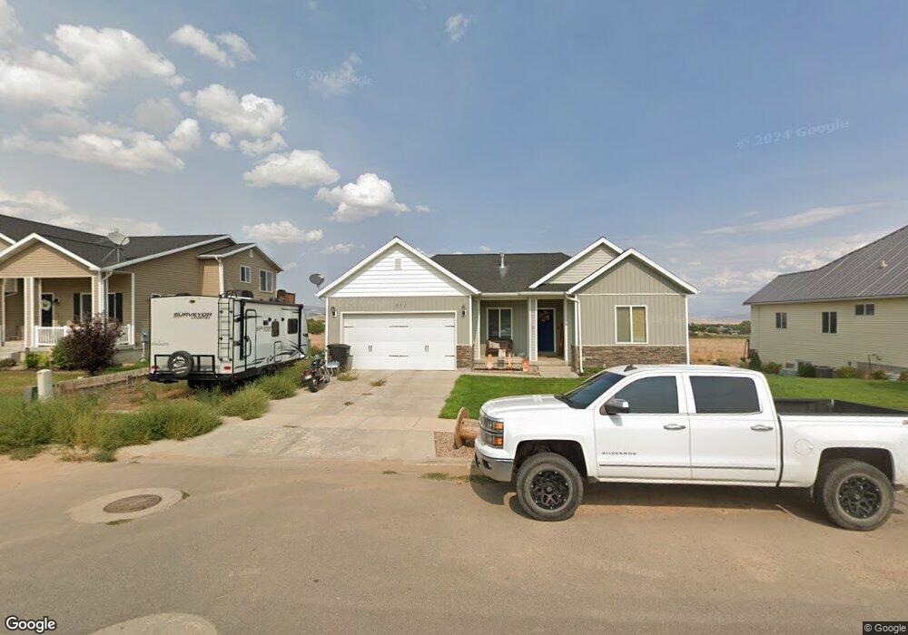
351 Durango Dr Vernal, UT 84078
Estimated Value: $444,000
4
Beds
2
Baths
3,084
Sq Ft
$144/Sq Ft
Est. Value
About This Home
This home is located at 351 Durango Dr, Vernal, UT 84078 and is currently priced at $444,000, approximately $143 per square foot. 351 Durango Dr is a home located in Uintah County with nearby schools including Maeser School, Vernal Middle School, and Uintah Middle School.
Ownership History
Date
Name
Owned For
Owner Type
Purchase Details
Closed on
Oct 23, 2019
Sold by
Anderson Darren D
Bought by
Kendall Mark and Kendall Ann M
Current Estimated Value
Home Financials for this Owner
Home Financials are based on the most recent Mortgage that was taken out on this home.
Original Mortgage
$238,598
Outstanding Balance
$209,450
Interest Rate
3.6%
Mortgage Type
Stand Alone Refi Refinance Of Original Loan
Purchase Details
Closed on
Mar 22, 2017
Sold by
Anderson Miranda Ann
Bought by
Anderson Darren Dean
Create a Home Valuation Report for This Property
The Home Valuation Report is an in-depth analysis detailing your home's value as well as a comparison with similar homes in the area
Home Values in the Area
Average Home Value in this Area
Purchase History
| Date | Buyer | Sale Price | Title Company |
|---|---|---|---|
| Kendall Mark | -- | -- | |
| Anderson Darren Dean | -- | None Available |
Source: Public Records
Mortgage History
| Date | Status | Borrower | Loan Amount |
|---|---|---|---|
| Open | Kendall Mark | $238,598 |
Source: Public Records
Tax History
| Year | Tax Paid | Tax Assessment Tax Assessment Total Assessment is a certain percentage of the fair market value that is determined by local assessors to be the total taxable value of land and additions on the property. | Land | Improvement |
|---|---|---|---|---|
| 2024 | $1,708 | $187,963 | $14,616 | $173,347 |
| 2023 | $1,580 | $165,941 | $14,616 | $151,325 |
| 2022 | $1,541 | $149,316 | $22,000 | $127,316 |
| 2021 | $1,532 | $121,924 | $19,250 | $102,674 |
| 2020 | $1,493 | $121,924 | $19,250 | $102,674 |
| 2019 | $1,511 | $121,924 | $19,250 | $102,674 |
| 2018 | $1,448 | $117,035 | $19,250 | $97,785 |
| 2017 | $14 | $113,276 | $19,250 | $94,026 |
| 2016 | $1,309 | $116,184 | $19,250 | $96,934 |
| 2015 | $1,259 | $121,286 | $19,250 | $102,036 |
| 2014 | $1,244 | $121,286 | $19,250 | $102,036 |
| 2013 | $1,271 | $121,286 | $19,250 | $102,036 |
Source: Public Records
Map
Nearby Homes
- 3073 W 500 S
- 3009 W 250 S
- 310 Heritage Dr
- 3017 W 250 S Unit 407
- 3019 W 250 S Unit 408
- 3438 W 500 S
- 141 S 3500 W
- 166 S 3500 W
- 2230 W 700 S Unit 2236
- 604 S 2150 W
- 486 N 3500 W
- 591 N 2425 W
- 835 S 2050 W Unit 12
- 743 S 1950 W
- 3529 W 700 N
- 1559 S 2950 W
- 4181 W Delray Rd
- 1012 N 3000 W
- 1601 W 300 S Unit 57
- 50 S 1500 W Unit 126
- 363 Durango Dr
- 335 Durango Dr
- 351 S Durango Dr
- 2963 W 350 S
- 365 Durango Dr
- 301 W 725 S
- 2968 W 350 S Unit 310
- 2978 Comstock Cir
- 306 W 725 S Unit 420
- 306 W 725 S
- 2973 W 350 S
- 2973 W 350 S
- 377 Durango Dr
- 2996 Comstock Cir
- 2976 W 350 S
- 296 S 2960 W
- 2993 W 300 S Unit 421
- 2993 W 300 S
- 2983 W 350 S
- 391 Durango Dr