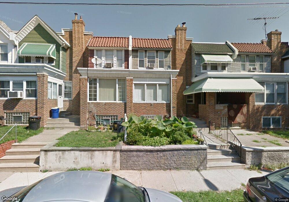
351 E Gale St Philadelphia, PA 19120
Olney NeighborhoodEstimated Value: $175,000 - $199,000
3
Beds
1
Bath
1,140
Sq Ft
$167/Sq Ft
Est. Value
About This Home
This home is located at 351 E Gale St, Philadelphia, PA 19120 and is currently estimated at $189,897, approximately $166 per square foot. 351 E Gale St is a home located in Philadelphia County with nearby schools including Olney Elementary School, Olney Charter High School, and Olney Christian School.
Ownership History
Date
Name
Owned For
Owner Type
Purchase Details
Closed on
Mar 23, 2011
Sold by
Secretary Of Housing & Urban Development
Bought by
Kim Them
Current Estimated Value
Purchase Details
Closed on
Sep 20, 2010
Sold by
Wells Fargo Bank Na
Bought by
Secretary Of Housing & Urban Development
Purchase Details
Closed on
May 10, 2010
Sold by
Copeland Darlene
Bought by
Wells Fargo Bank Na
Purchase Details
Closed on
Dec 30, 1999
Sold by
Rexer Lina
Bought by
Shaw Garnet
Home Financials for this Owner
Home Financials are based on the most recent Mortgage that was taken out on this home.
Original Mortgage
$50,300
Interest Rate
7.73%
Mortgage Type
FHA
Create a Home Valuation Report for This Property
The Home Valuation Report is an in-depth analysis detailing your home's value as well as a comparison with similar homes in the area
Home Values in the Area
Average Home Value in this Area
Purchase History
| Date | Buyer | Sale Price | Title Company |
|---|---|---|---|
| Kim Them | $46,500 | None Available | |
| Secretary Of Housing & Urban Development | -- | None Available | |
| Wells Fargo Bank Na | $5,900 | None Available | |
| Shaw Garnet | $49,900 | -- |
Source: Public Records
Mortgage History
| Date | Status | Borrower | Loan Amount |
|---|---|---|---|
| Previous Owner | Shaw Garnet | $50,300 |
Source: Public Records
Tax History Compared to Growth
Tax History
| Year | Tax Paid | Tax Assessment Tax Assessment Total Assessment is a certain percentage of the fair market value that is determined by local assessors to be the total taxable value of land and additions on the property. | Land | Improvement |
|---|---|---|---|---|
| 2025 | $1,747 | $169,600 | $33,920 | $135,680 |
| 2024 | $1,747 | $169,600 | $33,920 | $135,680 |
| 2023 | $1,747 | $124,800 | $24,960 | $99,840 |
| 2022 | $1,172 | $124,800 | $24,960 | $99,840 |
| 2021 | $1,172 | $0 | $0 | $0 |
| 2020 | $1,172 | $0 | $0 | $0 |
| 2019 | $1,089 | $0 | $0 | $0 |
| 2018 | $1,219 | $0 | $0 | $0 |
| 2017 | $1,219 | $0 | $0 | $0 |
| 2016 | $1,219 | $0 | $0 | $0 |
| 2015 | $1,167 | $0 | $0 | $0 |
| 2014 | -- | $87,100 | $8,883 | $78,217 |
| 2012 | -- | $12,480 | $1,085 | $11,395 |
Source: Public Records
Map
Nearby Homes
- 5600 Arbor St
- 5539 B St
- 318 E Gale St
- 5516 Westford Rd
- 316 R E Clarkson Ave Unit 4
- 5441 Westford Rd
- 565 E Tabor Rd
- 5413 N Front St
- 220 E Tabor Rd
- 5212 D St
- 136 W Clarkson Ave
- 5815 N Front St
- 5157 C St
- 5834 N Hope St
- 164 W Clarkson Ave
- 342 E Sheldon St
- 5531 N 2nd St
- 5511 N 2nd St
- 678 Adams Ave
- 150 W Fisher Ave