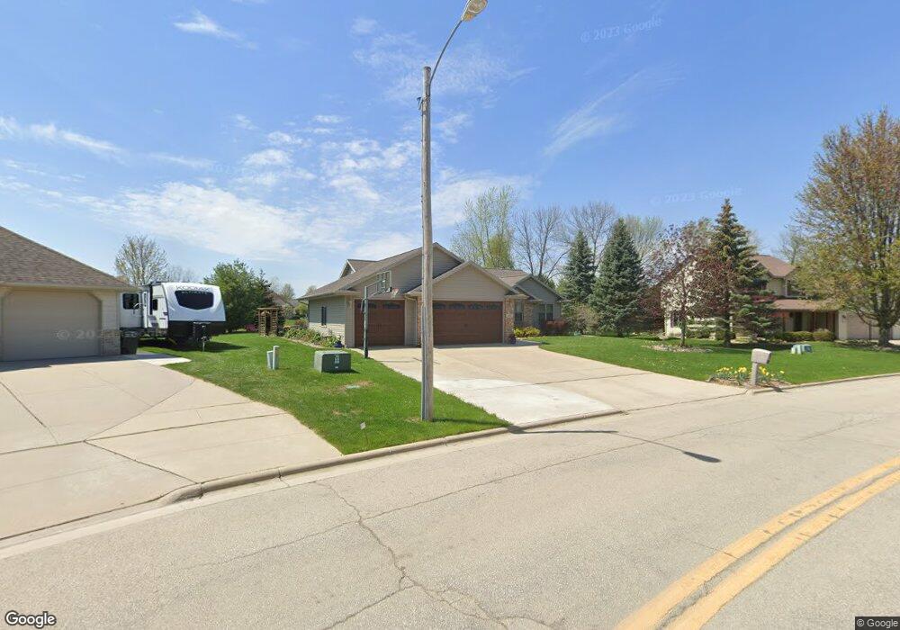
351 Falcon Dr Pulaski, WI 54162
Estimated Value: $340,000 - $434,000
3
Beds
2
Baths
1,866
Sq Ft
$200/Sq Ft
Est. Value
About This Home
This home is located at 351 Falcon Dr, Pulaski, WI 54162 and is currently estimated at $372,638, approximately $199 per square foot. 351 Falcon Dr is a home located in Brown County with nearby schools including Glenbrook Elementary School, Pulaski Community Middle School, and Pulaski High School.
Ownership History
Date
Name
Owned For
Owner Type
Purchase Details
Closed on
Feb 8, 2010
Sold by
Federal National Mortgage Association
Bought by
Micoley Robert D and Micoley Elizabeth A
Current Estimated Value
Home Financials for this Owner
Home Financials are based on the most recent Mortgage that was taken out on this home.
Original Mortgage
$154,156
Interest Rate
4.96%
Mortgage Type
FHA
Purchase Details
Closed on
Dec 10, 2009
Sold by
Rose Shad A
Bought by
Federal National Mortgage Association
Home Financials for this Owner
Home Financials are based on the most recent Mortgage that was taken out on this home.
Original Mortgage
$154,156
Interest Rate
4.96%
Mortgage Type
FHA
Purchase Details
Closed on
Sep 30, 2004
Sold by
Smart Properties Llc
Bought by
Rose Shad A
Home Financials for this Owner
Home Financials are based on the most recent Mortgage that was taken out on this home.
Original Mortgage
$182,400
Interest Rate
5.93%
Mortgage Type
Purchase Money Mortgage
Purchase Details
Closed on
May 8, 2003
Sold by
Mckeefry & Sons Inc
Bought by
Smart Properties Llc
Home Financials for this Owner
Home Financials are based on the most recent Mortgage that was taken out on this home.
Original Mortgage
$234,000
Interest Rate
5.95%
Mortgage Type
Purchase Money Mortgage
Create a Home Valuation Report for This Property
The Home Valuation Report is an in-depth analysis detailing your home's value as well as a comparison with similar homes in the area
Home Values in the Area
Average Home Value in this Area
Purchase History
| Date | Buyer | Sale Price | Title Company |
|---|---|---|---|
| Micoley Robert D | -- | Liberty Title | |
| Federal National Mortgage Association | $205,478 | None Available | |
| Rose Shad A | $228,000 | Bay Title & Abstract | |
| Smart Properties Llc | $260,000 | Bay Title & Abstract Inc |
Source: Public Records
Mortgage History
| Date | Status | Borrower | Loan Amount |
|---|---|---|---|
| Previous Owner | Micoley Robert D | $154,156 | |
| Previous Owner | Rose Shad A | $182,400 | |
| Previous Owner | Smart Properties Llc | $234,000 |
Source: Public Records
Tax History
| Year | Tax Paid | Tax Assessment Tax Assessment Total Assessment is a certain percentage of the fair market value that is determined by local assessors to be the total taxable value of land and additions on the property. | Land | Improvement |
|---|---|---|---|---|
| 2025 | $5,339 | $314,700 | $38,100 | $276,600 |
| 2024 | $4,956 | $314,700 | $38,100 | $276,600 |
| 2023 | $4,802 | $314,700 | $38,100 | $276,600 |
| 2022 | $4,117 | $203,300 | $30,000 | $173,300 |
| 2021 | $3,956 | $203,300 | $30,000 | $173,300 |
| 2020 | $4,133 | $203,300 | $30,000 | $173,300 |
| 2019 | $4,517 | $203,300 | $30,000 | $173,300 |
| 2018 | $4,277 | $203,300 | $30,000 | $173,300 |
| 2017 | $4,216 | $203,300 | $30,000 | $173,300 |
| 2016 | $4,030 | $192,600 | $30,000 | $162,600 |
| 2015 | $4,082 | $192,600 | $30,000 | $162,600 |
| 2014 | $3,968 | $192,600 | $30,000 | $162,600 |
| 2013 | $3,968 | $192,600 | $30,000 | $162,600 |
Source: Public Records
Map
Nearby Homes
- 203 E Glenbrook Dr
- 702 Carol Ln
- 843 Redhawk Dr
- N3879 Wisconsin 32
- 329 E Green Bay St
- 421 S Saint Augustine St
- 1235 Putnam Dr
- 1244 Putnam Dr
- 1246 Putnam Dr
- 1250 Putnam Dr
- 1260 Putnam Dr
- 1262 Putnam Dr
- 219 Front St
- 332 Rosemary Dr
- 430 Steno Trail Unit 32
- 511 W Pulaski St
- 5454 Norway Dr
- Lt0 Deer Dr
- 4982 Potters Crossing
- 0 Bialozynski Rd
- 363 Falcon Dr
- 958 Whimbrel Way
- 936 Whimbrel Way
- 386 Nightingale Dr
- 381 Falcon Dr
- 376 Falcon Dr
- 384 Nightingale Dr
- 925 Nightingale Ct
- 924 Whimbrel Way
- 388 Falcon Dr
- 246 Whimbrel Way
- 425 Falcon Dr
- 888 Whimbrel Way
- 901 Nightingale Ct
- 396 Nightingale Dr
- 915 Nightingale Ct
- 426 Falcon Dr
- 920 Nightingale Ct
- 0 Whimbrel Way Unit 10807170
- 0 Whimbrel Way Unit 10804697
Your Personal Tour Guide
Ask me questions while you tour the home.