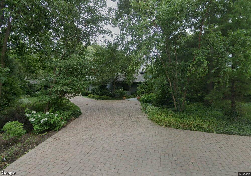
351 Foss Ct Lake Bluff, IL 60044
Estimated Value: $1,413,000 - $2,186,000
--
Bed
4
Baths
4,172
Sq Ft
$434/Sq Ft
Est. Value
About This Home
This home is located at 351 Foss Ct, Lake Bluff, IL 60044 and is currently estimated at $1,812,734, approximately $434 per square foot. 351 Foss Ct is a home located in Lake County with nearby schools including Lake Bluff Elementary School, Lake Bluff Middle School, and Lake Forest High School.
Ownership History
Date
Name
Owned For
Owner Type
Purchase Details
Closed on
May 17, 2004
Sold by
Walker Stuart H and Walker Margaret B
Bought by
Walker Stuart H and Walker Margaret B
Current Estimated Value
Purchase Details
Closed on
Aug 28, 1996
Sold by
Taubenheim Robert E and Taubenhei Linda L
Bought by
Walker Stuart H and Walker Margaret B
Home Financials for this Owner
Home Financials are based on the most recent Mortgage that was taken out on this home.
Original Mortgage
$320,000
Interest Rate
8.27%
Purchase Details
Closed on
Aug 5, 1993
Sold by
Beck Daniel L and Beck Kimberly A
Bought by
Taubenheim Robert E and Taubenheim Linda L
Home Financials for this Owner
Home Financials are based on the most recent Mortgage that was taken out on this home.
Original Mortgage
$408,000
Interest Rate
7.24%
Create a Home Valuation Report for This Property
The Home Valuation Report is an in-depth analysis detailing your home's value as well as a comparison with similar homes in the area
Home Values in the Area
Average Home Value in this Area
Purchase History
| Date | Buyer | Sale Price | Title Company |
|---|---|---|---|
| Walker Stuart H | -- | -- | |
| Walker Stuart H | $540,000 | Chicago Title Insurance Co | |
| Taubenheim Robert E | $340,000 | Chicago Title Insurance Co |
Source: Public Records
Mortgage History
| Date | Status | Borrower | Loan Amount |
|---|---|---|---|
| Closed | Walker Stuart H | $320,000 | |
| Previous Owner | Taubenheim Robert E | $408,000 |
Source: Public Records
Tax History Compared to Growth
Tax History
| Year | Tax Paid | Tax Assessment Tax Assessment Total Assessment is a certain percentage of the fair market value that is determined by local assessors to be the total taxable value of land and additions on the property. | Land | Improvement |
|---|---|---|---|---|
| 2024 | $33,418 | $516,336 | $181,280 | $335,056 |
| 2023 | $30,728 | $466,640 | $163,832 | $302,808 |
| 2022 | $30,728 | $440,368 | $154,608 | $285,760 |
| 2021 | $29,657 | $436,570 | $153,275 | $283,295 |
| 2020 | $29,011 | $438,985 | $154,123 | $284,862 |
| 2019 | $29,779 | $458,361 | $151,294 | $307,067 |
| 2018 | $27,344 | $441,775 | $169,032 | $272,743 |
| 2017 | $26,505 | $434,390 | $166,206 | $268,184 |
| 2016 | $26,930 | $434,390 | $158,201 | $276,189 |
| 2015 | $26,720 | $409,030 | $148,965 | $260,065 |
| 2014 | $23,369 | $360,147 | $133,741 | $226,406 |
| 2012 | $21,909 | $346,353 | $134,901 | $211,452 |
Source: Public Records
Map
Nearby Homes
- 354 Hirst Ct
- 362 Newman Ct
- 321 Newman Ct
- 145 Moffett Rd
- 120 E Scranton Ave Unit 202
- 120 E Scranton Ave Unit 203
- 120 E Scranton Ave Unit 201
- 120 E Scranton Ave Unit 102
- 120 E Scranton Ave Unit 103
- 546 Lakeland Dr
- 131 Moffett Rd
- 542 E Prospect Ave
- 166 Park Ave
- 701 E Center Ave
- 666 Maple Ave
- 208 Park Ln
- 700 Forest Cove Rd
- 186 W Scranton Ave
- 697 Bluff Rd
- 1301 N Western Ave Unit 134