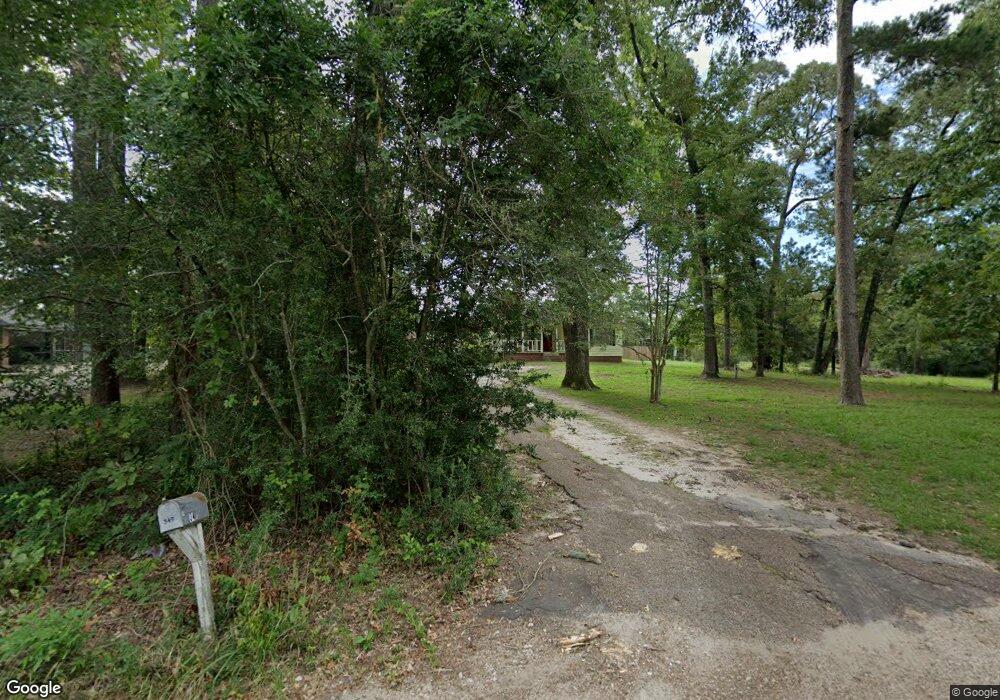
351 Garrison Dr Lufkin, TX 75901
Estimated Value: $136,000 - $319,109
--
Bed
7
Baths
920
Sq Ft
$268/Sq Ft
Est. Value
About This Home
This home is located at 351 Garrison Dr, Lufkin, TX 75901 and is currently estimated at $246,277, approximately $267 per square foot. 351 Garrison Dr is a home located in Angelina County with nearby schools including Slack Elementary School, Burley Primary School, and Lufkin Middle School.
Ownership History
Date
Name
Owned For
Owner Type
Purchase Details
Closed on
Mar 3, 2022
Sold by
Eric Warren
Bought by
Triple Diamond Land & Properties Llc
Current Estimated Value
Purchase Details
Closed on
May 17, 2013
Sold by
Telford Robert E and Telford Sheila
Bought by
W H O Properties Inc
Home Financials for this Owner
Home Financials are based on the most recent Mortgage that was taken out on this home.
Original Mortgage
$102,500
Interest Rate
3.56%
Mortgage Type
Future Advance Clause Open End Mortgage
Purchase Details
Closed on
Jun 4, 2012
Sold by
Telford Stuart Kyle and Telford Ginger
Bought by
Telford Robert E and Telford Sheila
Create a Home Valuation Report for This Property
The Home Valuation Report is an in-depth analysis detailing your home's value as well as a comparison with similar homes in the area
Home Values in the Area
Average Home Value in this Area
Purchase History
| Date | Buyer | Sale Price | Title Company |
|---|---|---|---|
| Triple Diamond Land & Properties Llc | -- | Security Guaranty Abstract | |
| W H O Properties Inc | -- | None Available | |
| Telford Robert E | -- | None Available |
Source: Public Records
Mortgage History
| Date | Status | Borrower | Loan Amount |
|---|---|---|---|
| Previous Owner | W H O Properties Inc | $102,500 |
Source: Public Records
Tax History Compared to Growth
Tax History
| Year | Tax Paid | Tax Assessment Tax Assessment Total Assessment is a certain percentage of the fair market value that is determined by local assessors to be the total taxable value of land and additions on the property. | Land | Improvement |
|---|---|---|---|---|
| 2025 | $6,399 | $615,510 | $38,140 | $577,370 |
| 2024 | $5,332 | $337,150 | $38,140 | $299,010 |
| 2023 | $3,466 | $229,690 | $38,140 | $191,550 |
| 2022 | $2,342 | $133,600 | $38,140 | $95,460 |
| 2021 | $2,383 | $123,320 | $38,140 | $85,180 |
| 2020 | $1,922 | $99,790 | $23,610 | $76,180 |
| 2019 | $2,064 | $99,790 | $23,610 | $76,180 |
| 2018 | $1,780 | $97,520 | $23,610 | $73,910 |
| 2017 | $1,780 | $96,080 | $24,890 | $71,190 |
| 2016 | $1,762 | $95,020 | $24,890 | $70,130 |
| 2015 | $1,548 | $95,020 | $24,890 | $70,130 |
| 2014 | $1,548 | $90,920 | $24,890 | $66,030 |
Source: Public Records
Map
Nearby Homes
- 106 Oakwood Dr
- R97410 Carrell Rd
- lot 1 Leslie Ln
- lot 3 Leslie Ln
- lot 2 Leslie Ln
- 13.29 acres Joyce Ln
- 1808 Fuller Springs Dr
- 191 Deer Ln
- 2210 Peachtree St
- TBD Irving Dr
- Tbd U S 69
- 107 Eastwood Place
- 1198 Sycamore Dr
- 701 Sandybrook Dr
- 4449 Benton Dr
- 247 John James Rd
- 165 Preston St
- 301 Sandybrook Dr
- 319 Sandybrook Dr
- 307 Sandybrook Dr
- 347 Garrison Dr
- 358 Garrison Dr
- 359 Garrison Dr
- 309 Garrison Dr
- 363 Garrison Dr
- 367 Garrison Dr
- 404 Garrison Dr
- 360 Garrison Dr
- 366 Garrison Dr Unit 368
- 3604 E Denman Ave
- 371 Garrison Dr
- 3072 Us Highway 69s
- 3072 Us Hwy 69s
- 3674 S Us Highway 69
- 3684 S Us Highway 69
- 3611 E Denman Ave
- 362 Garrison Dr
- 425 Garrison Dr
- 164 Spring Meadow Dr
- 430 Garrison Dr