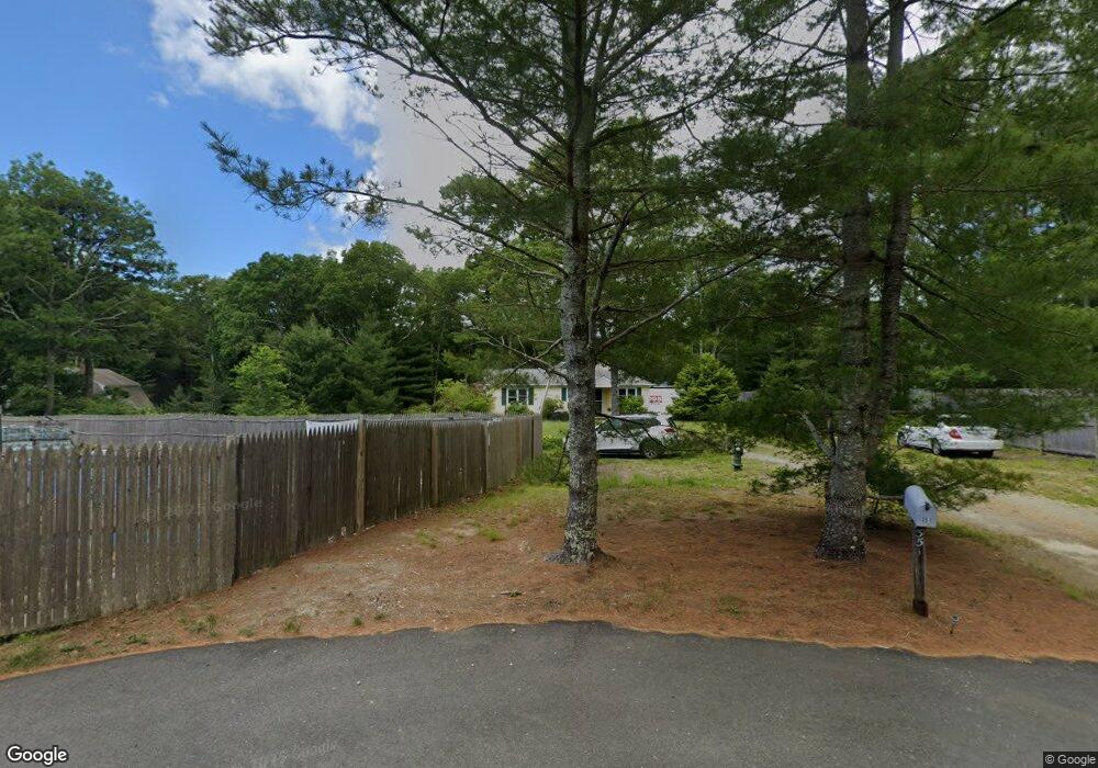
351 Gleneagle Dr Centerville, MA 02632
Centerville NeighborhoodEstimated Value: $621,015 - $715,000
3
Beds
2
Baths
1,201
Sq Ft
$543/Sq Ft
Est. Value
About This Home
This home is located at 351 Gleneagle Dr, Centerville, MA 02632 and is currently estimated at $652,504, approximately $543 per square foot. 351 Gleneagle Dr is a home located in Barnstable County with nearby schools including Centerville Elementary School, Barnstable United Elementary School, and Barnstable Intermediate School.
Ownership History
Date
Name
Owned For
Owner Type
Purchase Details
Closed on
Dec 6, 2022
Sold by
Ellis David R
Bought by
Ellis Ft
Current Estimated Value
Purchase Details
Closed on
Apr 20, 2001
Sold by
Oreilly Ann
Bought by
Ellis David R
Home Financials for this Owner
Home Financials are based on the most recent Mortgage that was taken out on this home.
Original Mortgage
$80,000
Interest Rate
6.9%
Mortgage Type
Purchase Money Mortgage
Create a Home Valuation Report for This Property
The Home Valuation Report is an in-depth analysis detailing your home's value as well as a comparison with similar homes in the area
Home Values in the Area
Average Home Value in this Area
Purchase History
| Date | Buyer | Sale Price | Title Company |
|---|---|---|---|
| Ellis Ft | -- | None Available | |
| Ellis David R | $180,000 | -- |
Source: Public Records
Mortgage History
| Date | Status | Borrower | Loan Amount |
|---|---|---|---|
| Previous Owner | Ellis David R | $80,000 |
Source: Public Records
Tax History
| Year | Tax Paid | Tax Assessment Tax Assessment Total Assessment is a certain percentage of the fair market value that is determined by local assessors to be the total taxable value of land and additions on the property. | Land | Improvement |
|---|---|---|---|---|
| 2025 | $4,441 | $548,900 | $168,600 | $380,300 |
| 2024 | $4,258 | $545,200 | $168,600 | $376,600 |
| 2023 | $4,006 | $480,300 | $153,200 | $327,100 |
| 2022 | $3,808 | $395,000 | $113,500 | $281,500 |
| 2021 | $3,605 | $343,700 | $113,500 | $230,200 |
| 2020 | $3,733 | $340,600 | $113,500 | $227,100 |
| 2019 | $3,553 | $315,000 | $113,500 | $201,500 |
| 2018 | $3,217 | $286,700 | $119,500 | $167,200 |
| 2017 | $2,998 | $278,600 | $119,500 | $159,100 |
| 2016 | $2,934 | $269,200 | $116,700 | $152,500 |
| 2015 | $2,843 | $262,000 | $118,300 | $143,700 |
Source: Public Records
Map
Nearby Homes
- 66 Tern Ln
- 900 Old Stage Rd
- 62 Three Ponds Dr
- 324 Patriot Way
- 296 Buckskin Path
- 82 Yacht Club Rd
- 315 Prince Hinckley Rd
- 87 Foxglove Rd
- 19 Marrick Ct
- 481 Lakeside Dr W
- 1028 Old Falmouth Rd
- 357 Lakeside Dr W
- 74 Saddler Ln
- 5 Chickadee Ln
- 83 Lake Dr
- 10 Sail a Way
- 10 Sail -A-way
- 51 Larch Ln
- 40 Sachem Dr
- 60 Richards Ln
- 364 White Oak Trail
- 360 White Oak Trail
- 30 Judith Eve Ln
- 333 Gleneagle Dr
- 19 High Noon Dr
- 354 White Oak Trail
- 33 High Noon Dr
- 33 High Noon Dr Unit E
- 6 Judith Eve Ln
- 26 Judith Eve Ln
- 366 White Oak Trail
- 711 Shootflying Hill Rd
- 338 White Oak Trail
- 317 Gleneagle Dr
- 727 Shootflying Hill Rd
- 346 White Oak Trail
- 25 Judith Eve Ln
- 26 High Noon Dr
- 15 Judith Eve Ln
- 697 Shootflying Hill Rd
Your Personal Tour Guide
Ask me questions while you tour the home.