351 Green Branch Rd Royston, GA 30662
Estimated Value: $443,000 - $512,000
3
Beds
4
Baths
2,796
Sq Ft
$173/Sq Ft
Est. Value
About This Home
This home is located at 351 Green Branch Rd, Royston, GA 30662 and is currently estimated at $484,163, approximately $173 per square foot. 351 Green Branch Rd is a home located in Franklin County with nearby schools including Franklin County High School and Cornerstone Christian Academy.
Ownership History
Date
Name
Owned For
Owner Type
Purchase Details
Closed on
Aug 1, 2019
Sold by
Guy Matthew P
Bought by
Guy Matthew P and Guy Lelsey Ann
Current Estimated Value
Home Financials for this Owner
Home Financials are based on the most recent Mortgage that was taken out on this home.
Original Mortgage
$332,405
Outstanding Balance
$291,125
Interest Rate
3.7%
Mortgage Type
New Conventional
Estimated Equity
$193,038
Purchase Details
Closed on
Mar 11, 2019
Sold by
Linda G Hollingsworth Living Trust
Bought by
Moore Misty Osley and Moore Levy David
Home Financials for this Owner
Home Financials are based on the most recent Mortgage that was taken out on this home.
Original Mortgage
$114,526
Interest Rate
4.4%
Mortgage Type
New Conventional
Purchase Details
Closed on
Jan 30, 2019
Sold by
Hollingsworth Robert F
Bought by
Reiser Quentin J and Reiser Sherrie I
Home Financials for this Owner
Home Financials are based on the most recent Mortgage that was taken out on this home.
Original Mortgage
$114,526
Interest Rate
4.4%
Mortgage Type
New Conventional
Purchase Details
Closed on
Jun 11, 2018
Sold by
Hollingsworth Robert F
Bought by
Mcclelland Jonathan D and Mcclelland Elizabeth A
Home Financials for this Owner
Home Financials are based on the most recent Mortgage that was taken out on this home.
Original Mortgage
$185,000
Interest Rate
4.5%
Mortgage Type
VA
Purchase Details
Closed on
Sep 25, 2008
Sold by
Hollingsworth Robert F
Bought by
Hollingsworth Linda G and Hollingsworth Robert F
Purchase Details
Closed on
Jan 31, 2008
Sold by
Hollingsworth Ann P
Bought by
Hollingsworth Robert F
Purchase Details
Closed on
May 16, 2006
Sold by
Hollingsworth Ann P
Bought by
Hollingsworth Ann P
Purchase Details
Closed on
Dec 6, 1996
Bought by
Hollingsworth Frank
Purchase Details
Closed on
Oct 31, 1990
Bought by
Hollingsworth Robert
Create a Home Valuation Report for This Property
The Home Valuation Report is an in-depth analysis detailing your home's value as well as a comparison with similar homes in the area
Home Values in the Area
Average Home Value in this Area
Purchase History
| Date | Buyer | Sale Price | Title Company |
|---|---|---|---|
| Guy Matthew P | -- | -- | |
| Guy Matthew P | $349,900 | -- | |
| Moore Misty Osley | $131,820 | -- | |
| Reiser Quentin J | $274,000 | -- | |
| Mcclelland Jonathan D | $185,000 | -- | |
| Hollingsworth Linda G | -- | -- | |
| Hollingsworth Robert F | -- | -- | |
| Hollingsworth Robert F | $250,000 | -- | |
| Hollingsworth Ann P | -- | -- | |
| Hollingsworth Frank | -- | -- | |
| Hollingsworth Robert | -- | -- |
Source: Public Records
Mortgage History
| Date | Status | Borrower | Loan Amount |
|---|---|---|---|
| Open | Guy Matthew P | $332,405 | |
| Closed | Guy Matthew P | $332,405 | |
| Previous Owner | Moore Misty Osley | $114,526 | |
| Previous Owner | Reiser Quentin J | $204,000 | |
| Previous Owner | Mcclelland Jonathan D | $185,000 |
Source: Public Records
Tax History Compared to Growth
Tax History
| Year | Tax Paid | Tax Assessment Tax Assessment Total Assessment is a certain percentage of the fair market value that is determined by local assessors to be the total taxable value of land and additions on the property. | Land | Improvement |
|---|---|---|---|---|
| 2024 | $3,284 | $137,963 | $16,700 | $121,263 |
| 2023 | $3,257 | $126,230 | $15,182 | $111,048 |
| 2022 | $2,941 | $113,975 | $12,173 | $101,802 |
| 2021 | $2,796 | $101,616 | $12,173 | $89,443 |
| 2020 | $2,608 | $93,815 | $12,173 | $81,642 |
| 2019 | $2,520 | $93,815 | $12,173 | $81,642 |
| 2018 | $3,522 | $190,652 | $67,068 | $123,584 |
| 2017 | $3,644 | $190,518 | $67,068 | $123,450 |
| 2016 | $3,343 | $175,102 | $67,068 | $108,034 |
| 2015 | -- | $175,102 | $67,068 | $108,034 |
| 2014 | -- | $167,687 | $67,068 | $100,619 |
| 2013 | -- | $168,081 | $67,068 | $101,013 |
Source: Public Records
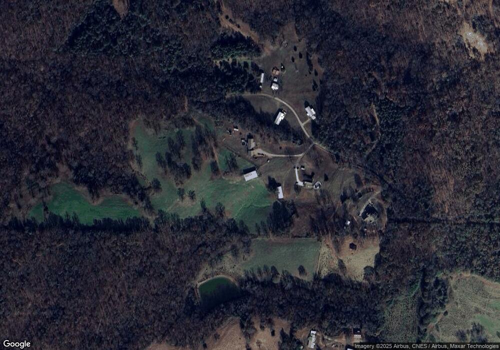
Map
Nearby Homes
- 206 College Heights
- 249 Taylor St
- 0 Dove Hill Rd Unit 25439972
- 0 Dove Hill Rd Unit 10637645
- 23 College Heights Place
- 41 College Heights Place
- 61 College Heights Place
- 224 Brad St
- 0 S Tanglewood Dr Unit 1027287
- 0 S Tanglewood Dr Unit 10538269
- 66 Topaz Ln
- 2390 W Main St
- 0 Tanglewood S Unit 10538272
- 95 Ext Brad St
- 155 Carey St
- 48 Brad St
- 603 Springdale Dr
- 1687 E Main St
- 00 S Tanglewood
- 1350 Baker Rd
- 351 Green Branch Rd Unit A
- 351 Green Branch Rd
- 351 Green Branch Rd
- 351 Green Branch Rd Unit A
- 465 Green Branch Rd
- 156 Green Branch Rd
- 0 Green Bridge Rd Unit 8605014
- 0 Green Bridge Rd Unit 3156031
- 0 Green Bridge Rd Unit 8326133
- 0 Green Bridge Rd
- 494 Green Branch Rd
- 469 Green Branch Rd
- 2116 Dovetown Rd
- 2114 Dovetown Rd
- 2014 Dovetown Rd
- 2442 Dovetown Rd
- 766 Bryant Crossing Rd
- 2166 Dovetown Rd
- 2226 Dovetown Rd
- 174 Hillcrest Loop