351 Hassin Rd Pearcy, AR 71964
Estimated Value: $441,000 - $912,000
4
Beds
2
Baths
3,000
Sq Ft
$244/Sq Ft
Est. Value
About This Home
This home is located at 351 Hassin Rd, Pearcy, AR 71964 and is currently estimated at $732,457, approximately $244 per square foot. 351 Hassin Rd is a home located in Garland County with nearby schools including Lake Hamilton Primary School, Lake Hamilton Interm. School, and Lake Hamilton Elementary School.
Ownership History
Date
Name
Owned For
Owner Type
Purchase Details
Closed on
Feb 27, 2008
Sold by
Not Provided
Bought by
Pittman Sidney L and Pittman Marsha L
Current Estimated Value
Purchase Details
Closed on
Feb 9, 2008
Sold by
Not Provided
Bought by
Pittman Sidney L and Pittman Marsha L
Purchase Details
Closed on
Mar 19, 1998
Sold by
Not Provided
Bought by
Pittman Liv Trust
Purchase Details
Closed on
Mar 18, 1998
Sold by
Not Provided
Bought by
Pittman Sidney L and Pittman Marsha L
Create a Home Valuation Report for This Property
The Home Valuation Report is an in-depth analysis detailing your home's value as well as a comparison with similar homes in the area
Home Values in the Area
Average Home Value in this Area
Purchase History
| Date | Buyer | Sale Price | Title Company |
|---|---|---|---|
| Pittman Sidney L | -- | -- | |
| Pittman Sidney L | -- | -- | |
| Pittman Liv Trust | -- | -- | |
| Pittman Sidney L | -- | -- |
Source: Public Records
Tax History
| Year | Tax Paid | Tax Assessment Tax Assessment Total Assessment is a certain percentage of the fair market value that is determined by local assessors to be the total taxable value of land and additions on the property. | Land | Improvement |
|---|---|---|---|---|
| 2025 | $2,497 | $74,250 | $6,830 | $67,420 |
| 2024 | $2,956 | $74,250 | $6,830 | $67,420 |
| 2023 | $2,759 | $74,250 | $6,830 | $67,420 |
| 2022 | $2,638 | $74,250 | $6,830 | $67,420 |
| 2021 | $2,056 | $45,100 | $4,790 | $40,310 |
| 2020 | $2,056 | $42,740 | $3,390 | $39,350 |
| 2019 | $1,889 | $42,740 | $3,390 | $39,350 |
| 2018 | $1,373 | $42,740 | $3,390 | $39,350 |
| 2017 | $1,372 | $42,740 | $3,390 | $39,350 |
| 2016 | $1,372 | $38,940 | $3,870 | $35,070 |
| 2015 | $1,371 | $38,940 | $3,870 | $35,070 |
| 2014 | $1,425 | $40,180 | $5,110 | $35,070 |
Source: Public Records
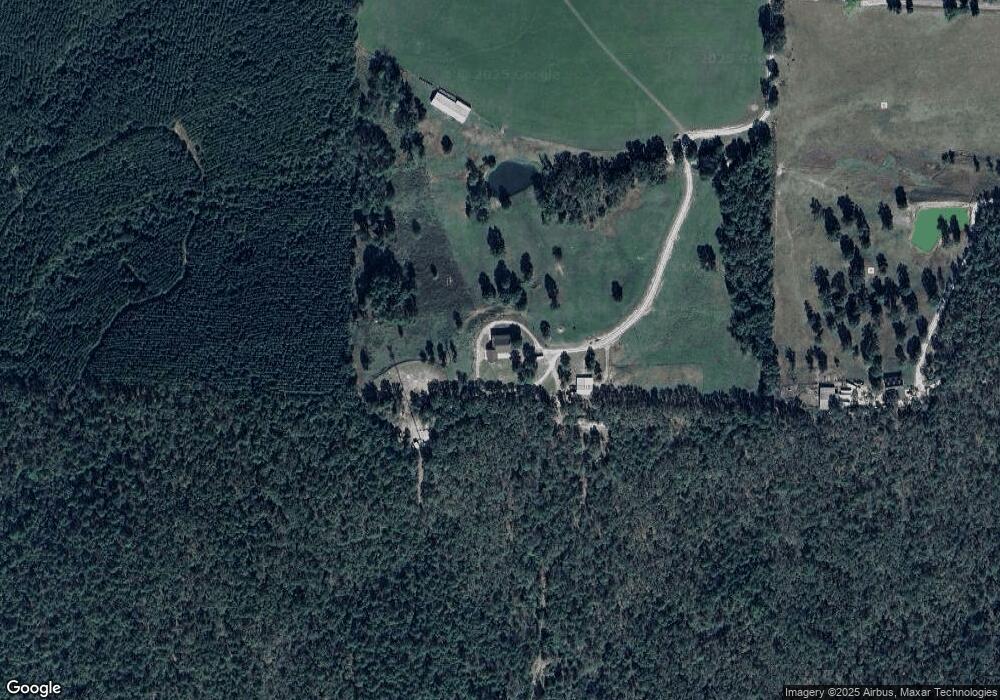
Map
Nearby Homes
- 4777 Airport Rd
- 5403 Airport Rd
- 4765 Airport Rd
- 138 Sweetgum Trail
- 185 Fernandez Ln
- 124 Primrose Ln
- 1687 Pearcy Rd
- xxx Pearcy Rd
- 6425 Airport Rd
- 545 Ford Rd
- 3109 Sunshine Rd Unit Tract A
- 3109 Sunshine Rd Unit Tract D
- 3109 Sunshine Rd Unit Tract C
- 3109 Sunshine Rd Unit Tract B
- 113 Breckenridge Terrace
- 182 Elder Trail
- 124 Holly Farm Ln
- 4630 Amity Rd
- 4903 Sunshine Rd
- 4907 Sunshine Rd
- 351 Hassin Rd
- Tract 9 Fieldstone Pass
- Tract 8 Fieldstone Pass Rd
- 10 Fieldstone Pass
- 245 Hassin Rd
- 352 Hassin Rd
- Tract 9 Fieldstone Pass Rd
- 5140 Airport Rd
- Tract 10 Fieldstone Pass Rd
- Tract 3 Fieldstone Pass Rd
- 5020 Airport Rd
- 350 Hassin Rd
- 272 Hassin Rd
- 110 Cloverfield Ln
- 328 Hassin Rd
- 5304 Airport Rd
- 124 Cloverfield Ln
- 4910 Airport Rd
- 5051 Airport Rd
- 134 Cloverfield Ln
Your Personal Tour Guide
Ask me questions while you tour the home.