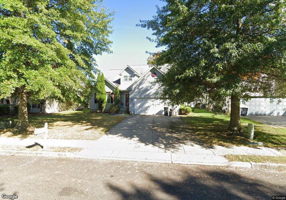
351 I r Bryant Way Lawnside, NJ 08045
Estimated Value: $357,896 - $478,000
--
Bed
--
Bath
2,210
Sq Ft
$189/Sq Ft
Est. Value
About This Home
This home is located at 351 I r Bryant Way, Lawnside, NJ 08045 and is currently estimated at $417,224, approximately $188 per square foot. 351 I r Bryant Way is a home located in Camden County with nearby schools including Lawnside Public Elementary School.
Ownership History
Date
Name
Owned For
Owner Type
Purchase Details
Closed on
Oct 22, 2011
Sold by
Brockington Rosa and Brockington Karlin
Bought by
Brockington Rosa
Current Estimated Value
Purchase Details
Closed on
Dec 26, 2002
Sold by
Lions Gate Llc
Bought by
Brockington Rosa and Brockington Mary
Home Financials for this Owner
Home Financials are based on the most recent Mortgage that was taken out on this home.
Original Mortgage
$170,000
Interest Rate
6.09%
Create a Home Valuation Report for This Property
The Home Valuation Report is an in-depth analysis detailing your home's value as well as a comparison with similar homes in the area
Home Values in the Area
Average Home Value in this Area
Purchase History
| Date | Buyer | Sale Price | Title Company |
|---|---|---|---|
| Brockington Rosa | -- | -- | |
| Brockington Rosa | $184,900 | -- |
Source: Public Records
Mortgage History
| Date | Status | Borrower | Loan Amount |
|---|---|---|---|
| Previous Owner | Brockington Rosa | $170,000 |
Source: Public Records
Tax History Compared to Growth
Tax History
| Year | Tax Paid | Tax Assessment Tax Assessment Total Assessment is a certain percentage of the fair market value that is determined by local assessors to be the total taxable value of land and additions on the property. | Land | Improvement |
|---|---|---|---|---|
| 2025 | $10,374 | $220,200 | $42,200 | $178,000 |
| 2024 | $9,940 | $220,200 | $42,200 | $178,000 |
| 2023 | $9,940 | $220,200 | $42,200 | $178,000 |
| 2022 | $9,667 | $220,200 | $42,200 | $178,000 |
| 2021 | $9,737 | $220,200 | $42,200 | $178,000 |
| 2020 | $9,328 | $220,200 | $42,200 | $178,000 |
| 2019 | $9,176 | $220,200 | $42,200 | $178,000 |
| 2018 | $8,993 | $220,200 | $42,200 | $178,000 |
| 2017 | $8,843 | $220,200 | $42,200 | $178,000 |
| 2016 | $8,630 | $220,200 | $42,200 | $178,000 |
| 2015 | $8,603 | $220,200 | $42,200 | $178,000 |
| 2014 | $8,460 | $220,200 | $42,200 | $178,000 |
Source: Public Records
Map
Nearby Homes
- 348 Silk St
- 412 S Charleston Ave
- 265 S Charleston Ave
- 69 Franklin Cir
- 511 Ellis Ave
- 178 E Charleston Ave
- 172 E Charleston Ave
- 5 Perot Ave
- 128 E Oak Ave
- 431 N White Horse Pike
- 313 E Washington Ave
- 101 Railroad Blvd
- 217 Ashland Ave
- 130 E Evesham Ave
- 115 Phillips Ave
- 412 N White Horse Pike
- 8 Orchard Ave
- 121 Lafayette Ave
- 130 W Monroe Ave
- 22 Center Oak Ave
- 347 I r Bryant Way
- 355 I r Bryant Way
- 354 Garrett Morgan Dr
- 350 Garrett Morgan Dr
- 358 Garrett Morgan Dr
- 343 I r Bryant Way
- 352 I r Bryant Way
- 346 Garrett Morgan Dr
- 348 I r Bryant Way
- 356 I r Bryant Way
- 356 I r Bryant Way Unit R
- 328 Lions Gate Dr
- 344 I r Bryant Way
- 332 Lions Gate Dr
- 336 Lions Gate Dr
- 360 I r Bryant Way
- 355 Garrett Morgan Dr
- 351 Garrett Morgan Dr
- 325 Ashland Ave
- 345 Lions Gate Dr