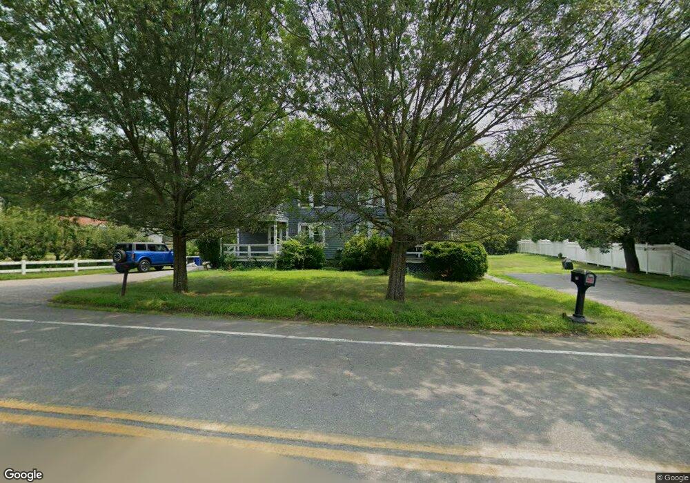
351 King St Littleton, MA 01460
Littleton Common NeighborhoodEstimated Value: $580,365 - $884,000
6
Beds
2
Baths
2,930
Sq Ft
$256/Sq Ft
Est. Value
About This Home
This home is located at 351 King St, Littleton, MA 01460 and is currently estimated at $751,341, approximately $256 per square foot. 351 King St is a home located in Middlesex County with nearby schools including Shaker Lane Elementary School, Russell Street Elementary School, and Littleton Middle School.
Ownership History
Date
Name
Owned For
Owner Type
Purchase Details
Closed on
Aug 6, 2012
Sold by
Sockol Sarah B
Bought by
Sockol Stephen H
Current Estimated Value
Home Financials for this Owner
Home Financials are based on the most recent Mortgage that was taken out on this home.
Original Mortgage
$327,135
Outstanding Balance
$227,474
Interest Rate
3.75%
Mortgage Type
FHA
Estimated Equity
$523,867
Purchase Details
Closed on
Oct 31, 2007
Sold by
Badger T 1 and Badger David W
Bought by
Badger-Sockol Sarah and Sockol Stephen H
Home Financials for this Owner
Home Financials are based on the most recent Mortgage that was taken out on this home.
Original Mortgage
$349,600
Interest Rate
6.43%
Mortgage Type
Purchase Money Mortgage
Create a Home Valuation Report for This Property
The Home Valuation Report is an in-depth analysis detailing your home's value as well as a comparison with similar homes in the area
Home Values in the Area
Average Home Value in this Area
Purchase History
| Date | Buyer | Sale Price | Title Company |
|---|---|---|---|
| Sockol Stephen H | -- | -- | |
| Badger-Sockol Sarah | $368,000 | -- |
Source: Public Records
Mortgage History
| Date | Status | Borrower | Loan Amount |
|---|---|---|---|
| Open | Sockol Stephen H | $327,135 | |
| Previous Owner | Badger-Sockol Sarah | $349,600 |
Source: Public Records
Tax History
| Year | Tax Paid | Tax Assessment Tax Assessment Total Assessment is a certain percentage of the fair market value that is determined by local assessors to be the total taxable value of land and additions on the property. | Land | Improvement |
|---|---|---|---|---|
| 2025 | $65 | $434,400 | $211,000 | $223,400 |
| 2024 | $6,500 | $438,000 | $215,200 | $222,800 |
| 2023 | $6,848 | $421,400 | $198,600 | $222,800 |
| 2022 | $7,463 | $421,400 | $198,600 | $222,800 |
| 2021 | $6,910 | $390,400 | $167,600 | $222,800 |
| 2020 | $6,818 | $383,700 | $163,200 | $220,500 |
| 2019 | $6,638 | $363,900 | $157,100 | $206,800 |
| 2018 | $6,327 | $348,800 | $161,200 | $187,600 |
| 2017 | $6,184 | $340,700 | $153,100 | $187,600 |
| 2016 | $6,015 | $340,000 | $153,100 | $186,900 |
| 2015 | $5,841 | $322,700 | $133,000 | $189,700 |
Source: Public Records
Map
Nearby Homes
- 55 Jennifer St
- 14 Robinson Rd Unit 2
- 17 Hartwell Ave
- 27 Mill Ln
- 16 Oak Rd
- 18 Long Lake Rd
- 146 Tahattawan Rd
- 19 Mill Rd
- 20 Honeysuckle Rd
- 35 Queen Rd
- 19 Ipswich Dr
- Lot 1 & 3 Beaver Brook Rd
- 9 (Lt 44) Darrell Dr
- 305 Harwood Ave
- 3 Taylor St
- 84 Powers Rd
- Lot 2 Strawberry Farm
- 0 Ayer Rd
- 91 Jimney Dr Unit 91
- 92 Jimney Dr
Your Personal Tour Guide
Ask me questions while you tour the home.