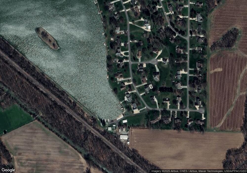
351 Lake Dr Dalton, OH 44618
Estimated Value: $442,000 - $538,000
4
Beds
3
Baths
2,487
Sq Ft
$190/Sq Ft
Est. Value
About This Home
This home is located at 351 Lake Dr, Dalton, OH 44618 and is currently estimated at $471,438, approximately $189 per square foot. 351 Lake Dr is a home located in Wayne County with nearby schools including Dalton Elementary School, Dalton Middle School, and Dalton High School.
Ownership History
Date
Name
Owned For
Owner Type
Purchase Details
Closed on
Feb 15, 2023
Sold by
Kohler Gary R and Kohler Sally L
Bought by
Kohler Family Trust
Current Estimated Value
Purchase Details
Closed on
Aug 13, 2010
Sold by
Senften Ronald J and Senften Sharon R
Bought by
Kohler Gary R and Kohler Sally L
Purchase Details
Closed on
May 5, 1998
Sold by
Besancon Joseph L
Bought by
Baker Vicki L
Home Financials for this Owner
Home Financials are based on the most recent Mortgage that was taken out on this home.
Original Mortgage
$23,500
Interest Rate
7.18%
Mortgage Type
New Conventional
Create a Home Valuation Report for This Property
The Home Valuation Report is an in-depth analysis detailing your home's value as well as a comparison with similar homes in the area
Home Values in the Area
Average Home Value in this Area
Purchase History
| Date | Buyer | Sale Price | Title Company |
|---|---|---|---|
| Kohler Family Trust | -- | -- | |
| Kohler Family Trust | -- | None Listed On Document | |
| Kohler Gary R | $300,000 | Attorney | |
| Baker Vicki L | $47,000 | -- |
Source: Public Records
Mortgage History
| Date | Status | Borrower | Loan Amount |
|---|---|---|---|
| Previous Owner | Baker Vicki L | $23,500 |
Source: Public Records
Tax History Compared to Growth
Tax History
| Year | Tax Paid | Tax Assessment Tax Assessment Total Assessment is a certain percentage of the fair market value that is determined by local assessors to be the total taxable value of land and additions on the property. | Land | Improvement |
|---|---|---|---|---|
| 2024 | $4,749 | $139,770 | $34,740 | $105,030 |
| 2023 | $4,749 | $139,770 | $34,740 | $105,030 |
| 2022 | $3,657 | $97,070 | $24,130 | $72,940 |
| 2021 | $3,684 | $97,070 | $24,130 | $72,940 |
| 2020 | $3,741 | $97,070 | $24,130 | $72,940 |
| 2019 | $3,452 | $92,760 | $23,110 | $69,650 |
| 2018 | $3,471 | $92,760 | $23,110 | $69,650 |
| 2017 | $3,424 | $92,760 | $23,110 | $69,650 |
| 2016 | $3,221 | $89,190 | $22,220 | $66,970 |
| 2015 | $3,157 | $89,190 | $22,220 | $66,970 |
| 2014 | $3,174 | $89,190 | $22,220 | $66,970 |
| 2013 | $3,722 | $92,650 | $23,250 | $69,400 |
Source: Public Records
Map
Nearby Homes
- 13877 Highview Dr
- 14003 Highview Dr
- 13946 Highview Dr
- 740 Kidron Rd
- 14533 Arnold Rd
- 12428 Arnold Rd
- 209 Greenbriar Ln
- 223 Tanglewood Dr
- 589 Wadsworth Rd
- 119 Briarwood Dr
- 29 Mill St N
- 110 S Kansas Rd
- 1342 Wadsworth Rd
- 0 Dalton Fox Lake Rd
- 13081 Hackett Rd
- 712 Homestead Pointe Dr
- 10647 McQuaid Rd
- 738 S Mill St
- 548 Center St
- 16450 Church Rd