351 Lh Bland Rd Glennville, GA 30427
Estimated Value: $158,000 - $312,208
--
Bed
3
Baths
2,900
Sq Ft
$73/Sq Ft
Est. Value
About This Home
This home is located at 351 Lh Bland Rd, Glennville, GA 30427 and is currently estimated at $211,403, approximately $72 per square foot. 351 Lh Bland Rd is a home located in Tattnall County with nearby schools including Tattnall County High School.
Ownership History
Date
Name
Owned For
Owner Type
Purchase Details
Closed on
Jul 2, 2019
Sold by
Bland Lh
Bought by
Bland Jimmy Loyd
Current Estimated Value
Purchase Details
Closed on
Sep 30, 2014
Sold by
Bland Jonell B
Bought by
Balnd Lloyd H
Purchase Details
Closed on
May 18, 1995
Bought by
Bland Jonell
Create a Home Valuation Report for This Property
The Home Valuation Report is an in-depth analysis detailing your home's value as well as a comparison with similar homes in the area
Home Values in the Area
Average Home Value in this Area
Purchase History
| Date | Buyer | Sale Price | Title Company |
|---|---|---|---|
| Bland Jimmy Loyd | -- | -- | |
| Bland James L | -- | -- | |
| Bland Jerry W | -- | -- | |
| Balnd Lloyd H | -- | -- | |
| Bland Jonell | -- | -- |
Source: Public Records
Tax History Compared to Growth
Tax History
| Year | Tax Paid | Tax Assessment Tax Assessment Total Assessment is a certain percentage of the fair market value that is determined by local assessors to be the total taxable value of land and additions on the property. | Land | Improvement |
|---|---|---|---|---|
| 2025 | $2,372 | $115,896 | $11,920 | $103,976 |
| 2024 | $2,381 | $92,056 | $11,920 | $80,136 |
| 2023 | $1,877 | $92,056 | $11,920 | $80,136 |
| 2022 | $1,970 | $77,376 | $11,920 | $65,456 |
| 2021 | $1,679 | $68,876 | $11,920 | $56,956 |
| 2020 | $1,679 | $68,876 | $11,920 | $56,956 |
| 2019 | $2,941 | $153,280 | $93,320 | $59,960 |
| 2018 | $2,956 | $153,280 | $93,320 | $59,960 |
| 2017 | $4,249 | $153,280 | $93,320 | $59,960 |
| 2016 | $2,897 | $153,080 | $93,320 | $59,760 |
| 2015 | -- | $152,520 | $93,320 | $59,200 |
| 2014 | -- | $162,200 | $93,320 | $68,880 |
| 2013 | -- | $0 | $0 | $0 |
Source: Public Records
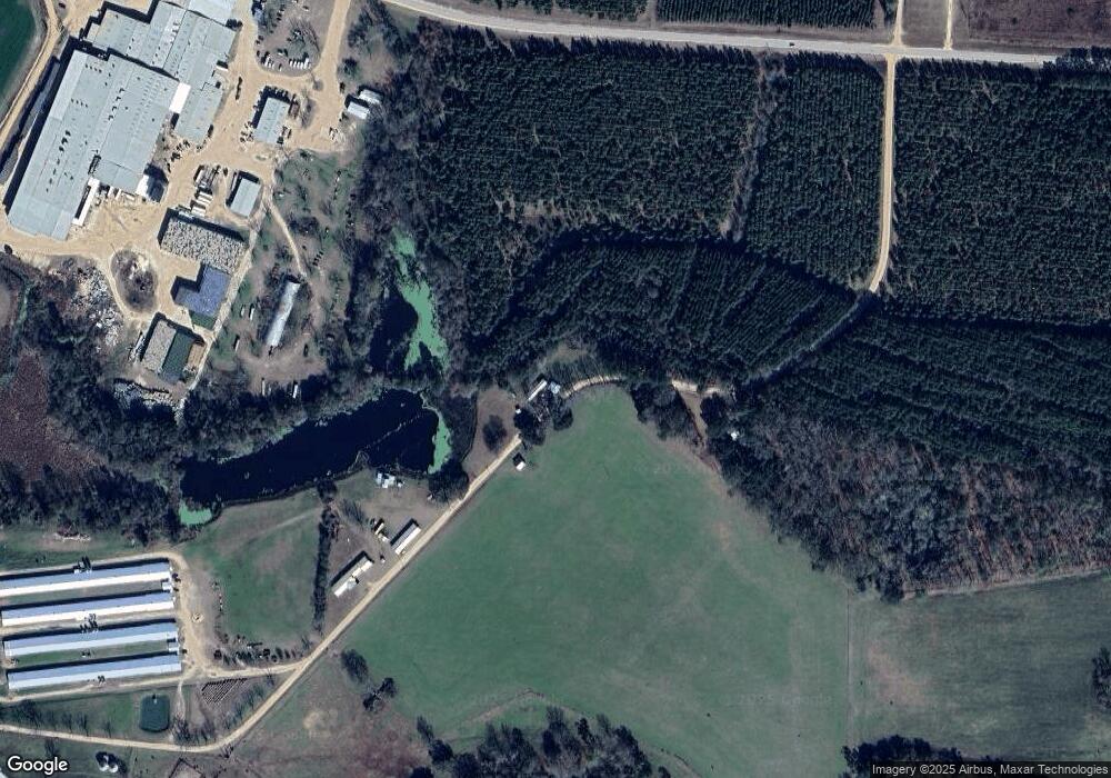
Map
Nearby Homes
- 431 Floyd Bland Rd
- 2437 Hwy 121
- 0 Sam Anderson Rd Unit 10509288
- 4421 Albert Rahn Rd
- 93 Georgia 169
- 93 Shirley Lane Hwy 169
- 0 Robert Chapel Cemetery Rd Unit 10519584
- Rd
- 314 George McLeod Rd
- LOT #128 Fate Rd Unit LOT 128
- 410 A N Caswell St Unit A
- 97 Shirley Ln
- 00 Bass Rd
- 963 Oak Grove Rd
- Tbd Baxter Durrence Rd
- Tbd Baxter Durrence Rd
- 4087 Harris Kicklighter Rd
- 1014 Jiggs Harden Rd
- Tbd Baxter Durrence Rd
- 239 River Moss Rd
- 1549 Raymond D Bland Rd
- 992 Vernon Griffin Rd
- 1481 Mount Zion Church Rd
- 350 Laddie Kennedy Rd
- 417 Tamara K Rd
- 431 Tamara K Rd
- 1615 Mount Zion Church Rd
- 401 Laddie Kennedy Rd
- 1652 Mount Zion Church Rd
- 1715 Mount Zion Church Rd
- 656 Tamara K Rd
- 1859 Mount Zion Church Rd
- 1474 Mount Zion Church Rd
- 287 Meadows