351 Lone Pine Ct Bloomfield Hills, MI 48304
Estimated Value: $1,474,000 - $2,389,000
5
Beds
6
Baths
4,565
Sq Ft
$403/Sq Ft
Est. Value
About This Home
This home is located at 351 Lone Pine Ct, Bloomfield Hills, MI 48304 and is currently estimated at $1,839,462, approximately $402 per square foot. 351 Lone Pine Ct is a home located in Oakland County with nearby schools including Way Elementary School, South Hills Middle School, and Bloomfield Hills High School.
Ownership History
Date
Name
Owned For
Owner Type
Purchase Details
Closed on
Jan 3, 2024
Sold by
Mazza John A and Mazza Julie A
Bought by
Mazza Julie A and Mazza John A
Current Estimated Value
Purchase Details
Closed on
Aug 28, 1998
Sold by
Boucher Peter W
Bought by
Mazza John A
Create a Home Valuation Report for This Property
The Home Valuation Report is an in-depth analysis detailing your home's value as well as a comparison with similar homes in the area
Home Values in the Area
Average Home Value in this Area
Purchase History
| Date | Buyer | Sale Price | Title Company |
|---|---|---|---|
| Mazza Julie A | -- | None Listed On Document | |
| Mazza John A | -- | -- |
Source: Public Records
Tax History Compared to Growth
Tax History
| Year | Tax Paid | Tax Assessment Tax Assessment Total Assessment is a certain percentage of the fair market value that is determined by local assessors to be the total taxable value of land and additions on the property. | Land | Improvement |
|---|---|---|---|---|
| 2024 | $12,758 | $611,650 | $0 | $0 |
| 2023 | $12,274 | $567,260 | $0 | $0 |
| 2022 | $14,190 | $555,070 | $0 | $0 |
| 2021 | $13,669 | $540,540 | $0 | $0 |
| 2020 | $11,207 | $526,810 | $0 | $0 |
| 2019 | $12,724 | $508,020 | $0 | $0 |
| 2018 | $12,759 | $480,940 | $0 | $0 |
| 2017 | $12,626 | $471,810 | $0 | $0 |
| 2016 | $12,584 | $458,260 | $0 | $0 |
| 2015 | -- | $439,260 | $0 | $0 |
| 2014 | -- | $382,740 | $0 | $0 |
| 2011 | -- | $319,230 | $0 | $0 |
Source: Public Records
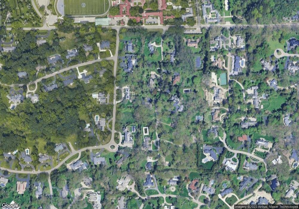
Map
Nearby Homes
- 596 Rudgate Rd
- 270 Martell Dr
- 692 Bennington Dr
- 1348 Charrington Rd
- 1287 Charrington Rd
- 931 Vaughan Rd
- 341 Keswick Rd
- 4650 Lahser Rd
- 362 Keswick Rd
- 5825 Lahser Rd
- 275 Barden Rd
- 1019 N Cranbrook Rd
- 3546 Bloomfield Club Dr
- 60 Kingsley Manor Dr
- 1260 Lyonhurst St
- 2579 Amberly Rd
- 1120 Lyonhurst St
- 33 Boulder Ln Unit 2
- 956 Westwood Dr
- 130 Denbar Rd
- 401 Lone Pine Ct
- 569 Rudgate Rd
- 577 Rudgate Rd
- 412 Lone Pine Ct
- 295 Lone Pine Ct
- 362 Lone Pine Ct
- 561 Rudgate Rd
- 298 Lone Pine Ct
- 570 Rudgate Rd
- 578 Rudgate Rd
- 456 Lone Pine Ct
- 465 Lone Pine Ct
- 559 Bennington Dr
- 255 Lone Pine Ct
- 264 Lone Pine Ct
- 555 Rudgate Rd
- 583 Rudgate Rd
- 581 Bennington Dr
- 371 Martell Dr
- 393 Martell Dr