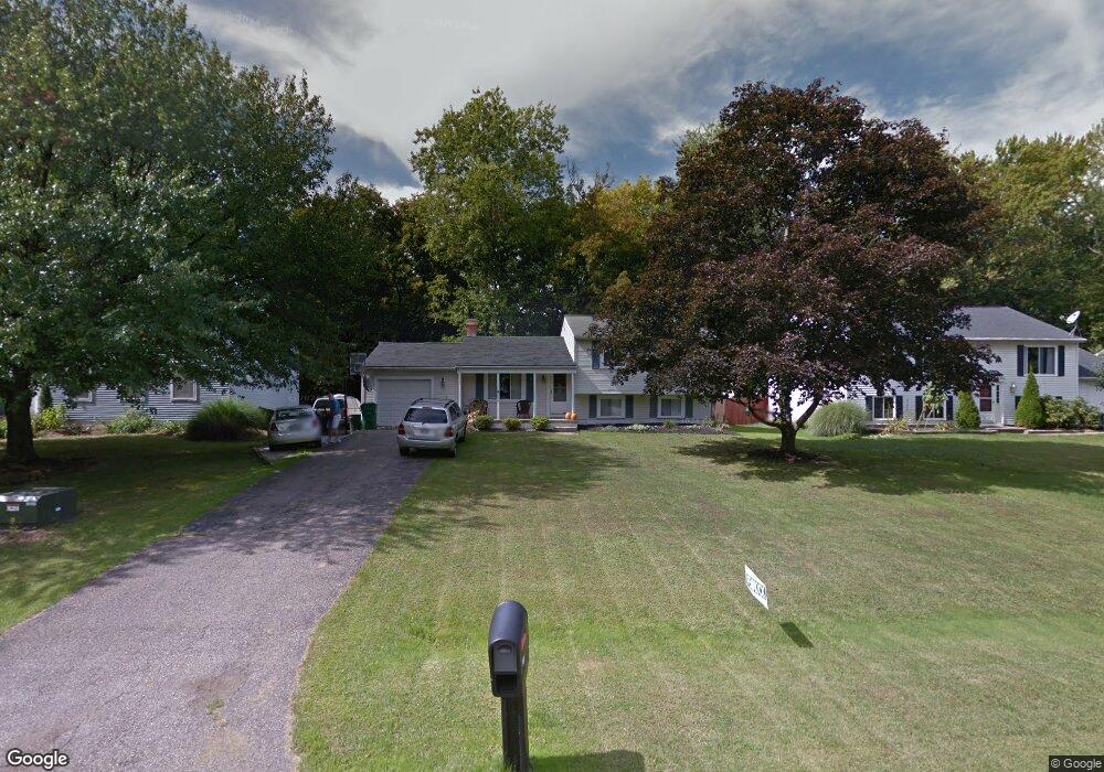
351 Manhattan Pkwy Painesville, OH 44077
Estimated Value: $229,969 - $246,000
3
Beds
2
Baths
1,040
Sq Ft
$227/Sq Ft
Est. Value
About This Home
This home is located at 351 Manhattan Pkwy, Painesville, OH 44077 and is currently estimated at $235,742, approximately $226 per square foot. 351 Manhattan Pkwy is a home located in Lake County with nearby schools including Henry F. Lamuth Middle School, Riverside Junior/Senior High School, and Summit Academy Community School - Painesville.
Ownership History
Date
Name
Owned For
Owner Type
Purchase Details
Closed on
Jan 5, 2001
Sold by
Kobus Eugene E and Kobus Amy L
Bought by
Hess Daniel G and Hess Susan E
Current Estimated Value
Home Financials for this Owner
Home Financials are based on the most recent Mortgage that was taken out on this home.
Original Mortgage
$129,500
Outstanding Balance
$48,578
Interest Rate
7.77%
Mortgage Type
VA
Estimated Equity
$187,165
Purchase Details
Closed on
Dec 27, 1993
Bought by
Decenso Donna L
Create a Home Valuation Report for This Property
The Home Valuation Report is an in-depth analysis detailing your home's value as well as a comparison with similar homes in the area
Home Values in the Area
Average Home Value in this Area
Purchase History
| Date | Buyer | Sale Price | Title Company |
|---|---|---|---|
| Hess Daniel G | $133,000 | Progressive Land Title | |
| Decenso Donna L | $73,000 | -- |
Source: Public Records
Mortgage History
| Date | Status | Borrower | Loan Amount |
|---|---|---|---|
| Open | Hess Daniel G | $129,500 |
Source: Public Records
Tax History Compared to Growth
Tax History
| Year | Tax Paid | Tax Assessment Tax Assessment Total Assessment is a certain percentage of the fair market value that is determined by local assessors to be the total taxable value of land and additions on the property. | Land | Improvement |
|---|---|---|---|---|
| 2024 | -- | $67,830 | $17,600 | $50,230 |
| 2023 | $5,738 | $52,660 | $14,150 | $38,510 |
| 2022 | $3,821 | $52,660 | $14,150 | $38,510 |
| 2021 | $3,847 | $52,660 | $14,150 | $38,510 |
| 2020 | $3,724 | $45,780 | $12,300 | $33,480 |
| 2019 | $3,691 | $45,780 | $12,300 | $33,480 |
| 2018 | $3,675 | $41,140 | $10,350 | $30,790 |
| 2017 | $3,597 | $41,140 | $10,350 | $30,790 |
| 2016 | $3,305 | $41,140 | $10,350 | $30,790 |
| 2015 | $2,355 | $41,140 | $10,350 | $30,790 |
| 2014 | $2,393 | $41,140 | $10,350 | $30,790 |
| 2013 | $2,339 | $41,140 | $10,350 | $30,790 |
Source: Public Records
Map
Nearby Homes
- 396 Park Rd
- 500 Park Rd
- V/L Morgan Dr
- 525 Morgan Dr
- 43 Bristol Ave
- 67 Tanners Farm Dr
- 65 Tanners Farm Dr
- 269 Hale Rd
- 1182 Dalton Dr
- 1172 Dalton Dr
- 108 Birch Dr
- 5406 Pebble Creek Ln
- 4505 Lane Rd
- 1787 Muirfield Ln
- 0 N Ridge Rd Unit 5110949
- 44 Grove Ave
- 30 Orton Rd
- 58 Deerfield Dr
- 389 Sand Trap Cir
- 1598 Bogie Ln
- 343 Manhattan Pkwy
- 359 Manhattan Pkwy
- 365 Manhattan Pkwy
- 335 Manhattan Pkwy
- 356 Manhattan Pkwy
- 373 Manhattan Pkwy
- 329 Manhattan Pkwy
- 348 Manhattan Pkwy
- 1581 Queens Ct
- 381 Manhattan Pkwy
- 370 Manhattan Pkwy
- 1586 Greenwich Ct
- 391 Manhattan Pkwy
- 380 Manhattan Pkwy
- 311 Manhattan Pkwy
- 1589 Queens Ct
- 1595 Greenwich Ct
- 1596 Greenwich Ct
- 310 Manhattan Pkwy
- 388 Manhattan Pkwy