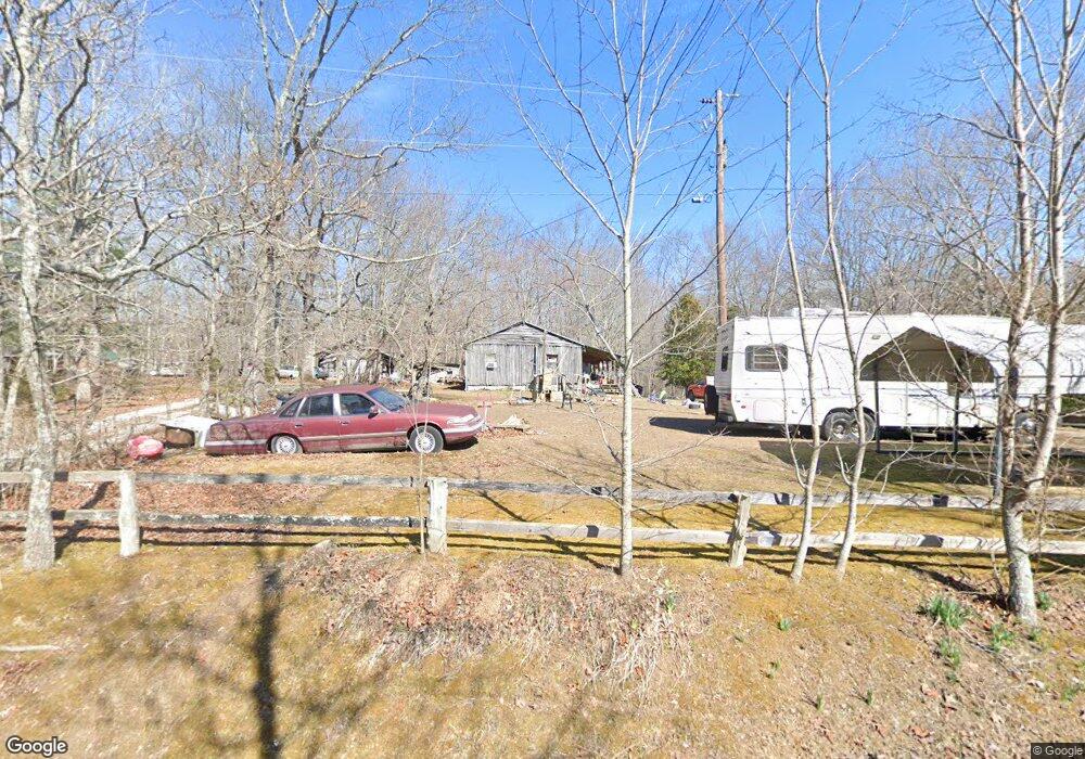
351 Mckaig Loop Rising Fawn, GA 30738
Rising Fawn NeighborhoodEstimated Value: $71,200 - $206,000
--
Bed
2
Baths
620
Sq Ft
$219/Sq Ft
Est. Value
About This Home
This home is located at 351 Mckaig Loop, Rising Fawn, GA 30738 and is currently estimated at $135,800, approximately $219 per square foot. 351 Mckaig Loop is a home located in Dade County with nearby schools including Dade Middle School and Dade County High School.
Ownership History
Date
Name
Owned For
Owner Type
Purchase Details
Closed on
Feb 21, 2012
Sold by
Abbott Carrie Mae
Bought by
Lackey Lisa Ann
Current Estimated Value
Purchase Details
Closed on
Jan 1, 1978
Bought by
Abbott Leroy and Abbott Carri
Purchase Details
Closed on
Apr 1, 1975
Sold by
Abbott Larry Wayne
Purchase Details
Closed on
Dec 28, 1965
Sold by
Abbott Leroy and Abbott Carri
Purchase Details
Closed on
Dec 7, 1965
Sold by
Bank Of Dade
Purchase Details
Closed on
Aug 24, 1965
Sold by
Guthery William Anse
Create a Home Valuation Report for This Property
The Home Valuation Report is an in-depth analysis detailing your home's value as well as a comparison with similar homes in the area
Home Values in the Area
Average Home Value in this Area
Purchase History
| Date | Buyer | Sale Price | Title Company |
|---|---|---|---|
| Lackey Lisa Ann | -- | -- | |
| Abbott Leroy | -- | -- | |
| -- | -- | -- | |
| -- | -- | -- | |
| -- | -- | -- | |
| -- | -- | -- |
Source: Public Records
Tax History Compared to Growth
Tax History
| Year | Tax Paid | Tax Assessment Tax Assessment Total Assessment is a certain percentage of the fair market value that is determined by local assessors to be the total taxable value of land and additions on the property. | Land | Improvement |
|---|---|---|---|---|
| 2024 | $117 | $16,060 | $8,920 | $7,140 |
| 2023 | $294 | $13,140 | $6,280 | $6,860 |
| 2022 | $115 | $12,120 | $6,280 | $5,840 |
| 2021 | $114 | $11,800 | $6,280 | $5,520 |
| 2020 | $117 | $10,396 | $5,000 | $5,396 |
| 2019 | $53 | $7,536 | $5,000 | $2,536 |
| 2018 | $181 | $7,536 | $5,000 | $2,536 |
| 2017 | $54 | $7,536 | $5,000 | $2,536 |
| 2016 | $54 | $6,016 | $3,480 | $2,536 |
| 2015 | -- | $11,336 | $8,800 | $2,536 |
| 2014 | -- | $10,684 | $7,040 | $3,644 |
| 2013 | -- | $0 | $0 | $0 |
Source: Public Records
Map
Nearby Homes
- 382 Plum Nelly Rd
- 9984 Georgia 136
- 0 Old Rocky Trail Unit 130442
- 0 Old Rocky Trail Unit RTC2866646
- 5613 Lakeview Dr
- 0 Old Rocky Trail Unit 1510719
- 0 Shivas Crest Unit 1514359
- 4223 Sunset Dr
- 1860 Plum Nelly Rd
- 0 Long Branch Rd Unit 1514733
- 0 Long Branch Rd Unit RTC2908675
- 157 Highway
- 0 Sunset Dr Unit 1524410
- 0 Hampton Way Unit 10593499
- 0 Hampton Way Unit 1519768
- 7 Lakeview Dr
- 0 Arrow Ranch Rd Unit 1513164
- 0 Arrow Ranch Rd Unit 1510616
- 8 Lakeview Dr
- 0 Pebble Dr Unit RTC2899418
- 351 Mckaig Loop
- 33 Cloudland Canyon Dr
- 33 Mckaig Loop
- 482 Mckaig Loop
- 154 Mckaig Loop
- 0 McKaig Loop Rd Unit 1343370
- 0 McKaig Loop Rd Unit RTC2344289
- 271 Mckaig Loop
- 111 Mckaig Loop
- 545 Mckaig Loop
- 45 Mckaig Loop
- 590 Mckaig Loop
- 625 Mckaig Loop
- 11955 Highway 136
- 11762 Highway 136
- 12216 Georgia 136
- 12051 Highway 136
- 11956 Highway 136
- 12012 Highway 136
- 12223 Highway 136