Estimated Value: $365,000 - $414,000
3
Beds
2
Baths
1,752
Sq Ft
$221/Sq Ft
Est. Value
About This Home
This home is located at 351 Moses Ln, Salem, VA 24153 and is currently estimated at $386,687, approximately $220 per square foot. 351 Moses Ln is a home located in Salem City with nearby schools including G.W. Carver Elementary School, Andrew Lewis Middle School, and Salem High School.
Ownership History
Date
Name
Owned For
Owner Type
Purchase Details
Closed on
Feb 10, 2011
Sold by
Jones Pual E and Jones Cindy D
Bought by
Gibson Robert Scott and Gibson Amanda
Current Estimated Value
Home Financials for this Owner
Home Financials are based on the most recent Mortgage that was taken out on this home.
Original Mortgage
$240,738
Outstanding Balance
$161,489
Interest Rate
4.37%
Mortgage Type
FHA
Estimated Equity
$225,198
Create a Home Valuation Report for This Property
The Home Valuation Report is an in-depth analysis detailing your home's value as well as a comparison with similar homes in the area
Home Values in the Area
Average Home Value in this Area
Purchase History
| Date | Buyer | Sale Price | Title Company |
|---|---|---|---|
| Gibson Robert Scott | $247,000 | Fidelity National Title Ins |
Source: Public Records
Mortgage History
| Date | Status | Borrower | Loan Amount |
|---|---|---|---|
| Open | Gibson Robert Scott | $240,738 |
Source: Public Records
Tax History Compared to Growth
Tax History
| Year | Tax Paid | Tax Assessment Tax Assessment Total Assessment is a certain percentage of the fair market value that is determined by local assessors to be the total taxable value of land and additions on the property. | Land | Improvement |
|---|---|---|---|---|
| 2025 | $2,082 | $352,900 | $61,300 | $291,600 |
| 2024 | $2,036 | $339,400 | $55,500 | $283,900 |
| 2023 | $3,752 | $312,700 | $52,300 | $260,400 |
| 2022 | $3,416 | $284,700 | $44,400 | $240,300 |
| 2021 | $3,282 | $273,500 | $42,500 | $231,000 |
| 2020 | $3,210 | $267,500 | $42,500 | $225,000 |
| 2019 | $3,142 | $261,800 | $42,500 | $219,300 |
| 2018 | $3,063 | $259,600 | $42,500 | $217,100 |
| 2017 | $2,984 | $252,900 | $42,500 | $210,400 |
| 2016 | $2,984 | $252,900 | $42,500 | $210,400 |
| 2015 | $2,697 | $228,600 | $42,800 | $185,800 |
| 2014 | $2,697 | $228,600 | $42,800 | $185,800 |
Source: Public Records
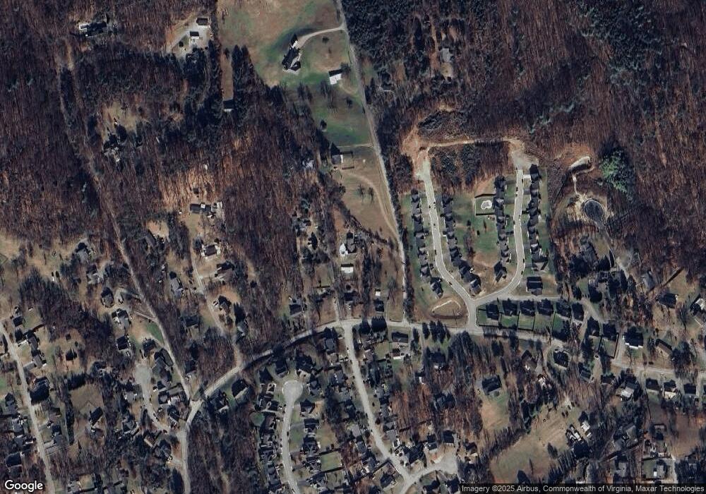
Map
Nearby Homes
- 209 Edgemont Dr
- 1263 N Mill Rd
- 332 Woodside Dr
- 328 Woodside Dr
- 324 Woodside Dr
- 320 Woodside Dr
- 776 Camp Rd N
- 1109 Stoutamire Dr
- 1211 Stoutamire Dr
- 519 Doyle St
- 1000 BLK Polar Ln
- 1030 Craig Ave
- 423 Parkdale Dr
- 638 Dalewood Ave
- 700 N Stonewall St
- 1668 Reece Rd
- 1117 Conifer Ln
- 1312 Parkdale Manor Dr
- 1639 Sunset Ave
- 103 Ross St
- 1117 N Mill Rd
- 1103 N Mill Rd
- 1101 N Mill Rd
- 1125 N Mill Rd
- 221 Edgemere Dr
- 217 Edgemere Dr
- 213 Edgemere Dr
- 225 Edgemere Dr
- 209 Edgemere Dr
- 1083 N Mill Rd
- 359 Moses Ln
- 306 N Mill Ct
- 307 N Mill Ct
- 205 Edgemere Dr
- 1109 N Mill Rd
- 1208 N Mill Rd
- 1071 N Mill Rd
- 212 Edgemere Dr
- 312 N Mill Ct
- 313 N Mill Ct