351 Mountain Brook Ct Unit One McDonough, GA 30252
Estimated Value: $452,310 - $521,000
4
Beds
3
Baths
2,617
Sq Ft
$189/Sq Ft
Est. Value
About This Home
This home is located at 351 Mountain Brook Ct Unit One, McDonough, GA 30252 and is currently estimated at $495,328, approximately $189 per square foot. 351 Mountain Brook Ct Unit One is a home located in Henry County with nearby schools including Timber Ridge Elementary School, Union Grove Middle School, and Union Grove High School.
Ownership History
Date
Name
Owned For
Owner Type
Purchase Details
Closed on
Oct 25, 2016
Sold by
Destefano Family Trust
Bought by
Hanes Edward David and Hanes Lauren Mcclendon
Current Estimated Value
Home Financials for this Owner
Home Financials are based on the most recent Mortgage that was taken out on this home.
Original Mortgage
$251,910
Outstanding Balance
$201,696
Interest Rate
3.42%
Estimated Equity
$293,632
Purchase Details
Closed on
Feb 15, 2010
Sold by
Destefano Herman J
Bought by
Destefano Family Trust
Create a Home Valuation Report for This Property
The Home Valuation Report is an in-depth analysis detailing your home's value as well as a comparison with similar homes in the area
Home Values in the Area
Average Home Value in this Area
Purchase History
| Date | Buyer | Sale Price | Title Company |
|---|---|---|---|
| Hanes Edward David | $279,900 | -- | |
| Destefano Family Trust | -- | -- | |
| Destefano Family Trust | -- | -- |
Source: Public Records
Mortgage History
| Date | Status | Borrower | Loan Amount |
|---|---|---|---|
| Open | Hanes Edward David | $251,910 |
Source: Public Records
Tax History Compared to Growth
Tax History
| Year | Tax Paid | Tax Assessment Tax Assessment Total Assessment is a certain percentage of the fair market value that is determined by local assessors to be the total taxable value of land and additions on the property. | Land | Improvement |
|---|---|---|---|---|
| 2025 | $5,241 | $184,248 | $34,800 | $149,448 |
| 2024 | $5,241 | $168,960 | $31,520 | $137,440 |
| 2023 | $4,362 | $163,560 | $30,400 | $133,160 |
| 2022 | $4,671 | $155,480 | $28,200 | $127,280 |
| 2021 | $4,215 | $136,600 | $24,440 | $112,160 |
| 2020 | $3,995 | $127,440 | $23,080 | $104,360 |
| 2019 | $3,871 | $122,320 | $22,000 | $100,320 |
| 2018 | $3,436 | $105,240 | $10,280 | $94,960 |
| 2016 | $997 | $80,000 | $9,440 | $70,560 |
| 2015 | -- | $71,840 | $9,160 | $62,680 |
| 2014 | -- | $67,600 | $24,240 | $43,360 |
Source: Public Records
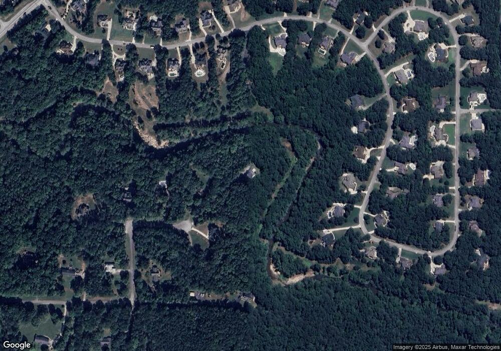
Map
Nearby Homes
- 2194 Highway 20 E
- 1202 Persimmon Way
- 2175 Highway 20 E
- 1209 Persimmon Way
- 1333 Nickel Oak Bend
- 121 Harper Rd
- 628 Continental Dr
- Meridian II Plan at Trinity Park
- Clarity Plan at Trinity Park
- Rainier Plan at Trinity Park
- Stonefield Plan at Trinity Park
- Isabella II Plan at Trinity Park
- McKinley II Plan at Trinity Park
- Rosemary II Plan at Trinity Park
- 322 Delta Dr
- 308 Delta Dr
- 504 Dulles Dr
- 515 Dulles Dr
- 381 Country Lake Dr
- 420 Hartsfield Rd
- 351 Mountain Brook Ct
- 350 Mountain Brook Ct
- 341 Mountain Brook Ct
- 0 Mountain Brook Ct Unit 53,54 7555789
- 0 Mountain Brook Ct Unit 14 8104046
- 340 Mountain Brook Ct Unit 15
- 340 Mountain Brook Ct
- 331 Mountain Brook Ct
- 1016 Laurel Ridge Dr
- 1034 Laurel Ridge Dr
- 1032 Laurel Ridge Dr
- 1036 Laurel Ridge Dr
- 1030 Laurel Ridge Dr
- 1028 Laurel Ridge Dr
- 180 Mountain Laurel Dr
- 321 Mountain Brook Ct
- 1012 Laurel Ridge Dr
- 1014 Laurel Ridge Dr
- 1026 Laurel Ridge Dr
- 1010 Laurel Ridge Dr