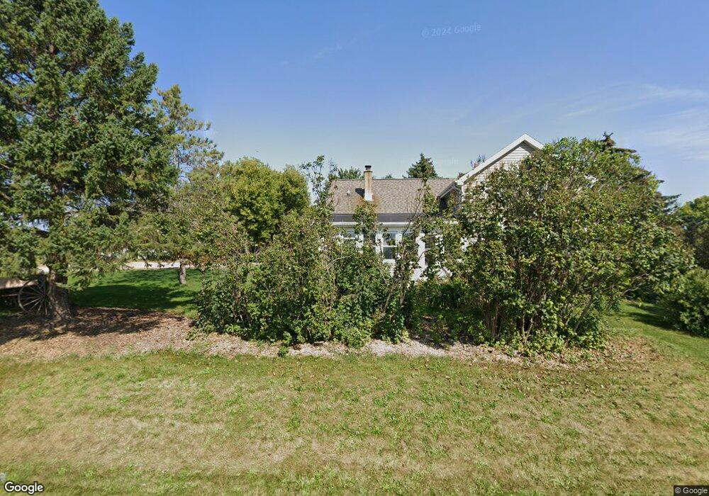
351 Muttart Rd Neenah, WI 54956
Estimated Value: $385,000 - $575,000
--
Bed
--
Bath
--
Sq Ft
40
Acres
About This Home
This home is located at 351 Muttart Rd, Neenah, WI 54956 and is currently estimated at $500,850. 351 Muttart Rd is a home located in Winnebago County with nearby schools including Lakeview Elementary School, Horace Mann Middle School, and Neenah Middle School.
Ownership History
Date
Name
Owned For
Owner Type
Purchase Details
Closed on
Apr 26, 2012
Sold by
Berger Marie M
Bought by
Weiss David M and Weiss Rebekah A
Current Estimated Value
Home Financials for this Owner
Home Financials are based on the most recent Mortgage that was taken out on this home.
Original Mortgage
$185,000
Outstanding Balance
$129,254
Interest Rate
4.08%
Mortgage Type
Purchase Money Mortgage
Estimated Equity
$371,596
Purchase Details
Closed on
May 6, 2008
Sold by
Berger Marie M
Bought by
Berger Marie M
Create a Home Valuation Report for This Property
The Home Valuation Report is an in-depth analysis detailing your home's value as well as a comparison with similar homes in the area
Home Values in the Area
Average Home Value in this Area
Purchase History
| Date | Buyer | Sale Price | Title Company |
|---|---|---|---|
| Weiss David M | $205,000 | None Available | |
| Berger Marie M | -- | None Available |
Source: Public Records
Mortgage History
| Date | Status | Borrower | Loan Amount |
|---|---|---|---|
| Open | Weiss David M | $185,000 |
Source: Public Records
Tax History Compared to Growth
Tax History
| Year | Tax Paid | Tax Assessment Tax Assessment Total Assessment is a certain percentage of the fair market value that is determined by local assessors to be the total taxable value of land and additions on the property. | Land | Improvement |
|---|---|---|---|---|
| 2024 | $3,195 | $194,500 | $42,500 | $152,000 |
| 2023 | $3,131 | $194,500 | $42,500 | $152,000 |
| 2022 | $3,201 | $194,600 | $42,600 | $152,000 |
| 2021 | $3,104 | $194,900 | $42,900 | $152,000 |
| 2020 | $3,308 | $194,800 | $42,800 | $152,000 |
| 2019 | $2,988 | $162,100 | $30,300 | $131,800 |
| 2018 | $2,892 | $162,100 | $30,300 | $131,800 |
| 2017 | $2,546 | $162,100 | $30,300 | $131,800 |
| 2016 | $2,568 | $162,100 | $30,300 | $131,800 |
| 2015 | $1,717 | $117,400 | $30,300 | $87,100 |
| 2014 | -- | $117,400 | $30,300 | $87,100 |
| 2013 | -- | $117,400 | $30,300 | $87,100 |
Source: Public Records
Map
Nearby Homes
- 140 Schramm Way
- 260 Fort Dr
- 2616 Marathon Ave
- 1618 Paynes Point Rd
- 2513 Bishops Ln
- 0 S Commercial St Unit 50063338
- 130 Southfield Ct
- 123 Southfield Ct
- 2419 Maple Grove Dr
- 127 Southfield Ct
- 2375 Fiesta Ct Unit 2377
- 1563 Worth Ave
- 231 Bosworth Ln
- 1504 Bruce St
- 1442 Baytree Ln
- 1404 Mahler Blvd
- 1372 Baytree Ln
- 1316 Wedgewood Ln
- 1433 Freedom Ct
- 1341 Alpine Ln
- 249 Muttart Rd
- 250 Muttart Rd
- 276 Muttart Rd
- 247 Muttart Rd
- 246 Muttart Rd
- 280 Muttart Rd
- 244 Muttart Rd
- 243 Muttart Rd
- 103 Sherri Lea
- 240 Muttart Rd
- 108 Sherri Lea
- 101 Sugar Tree Ln
- 104 Sugar Tree Ln
- 113 Sugar Tree Ln
- 109 Sugar Tree Ln
- 215 Mandella Ct
- 217 Mandella Ct
- 223 Mandella Ct
- 229 Mandella Ct
- 232 Mandella Ct