351 Old Fort Rd La Pointe, WI 54850
Estimated Value: $2,258,811 - $2,419,000
6
Beds
7
Baths
6,416
Sq Ft
$364/Sq Ft
Est. Value
About This Home
This home is located at 351 Old Fort Rd, La Pointe, WI 54850 and is currently estimated at $2,337,604, approximately $364 per square foot. 351 Old Fort Rd is a home located in Ashland County with nearby schools including Bayfield High School.
Ownership History
Date
Name
Owned For
Owner Type
Purchase Details
Closed on
Apr 5, 2012
Sold by
Fischlowitz Beth
Bought by
Alder Trust Co and Boone Creek Trust
Current Estimated Value
Home Financials for this Owner
Home Financials are based on the most recent Mortgage that was taken out on this home.
Original Mortgage
$997,500
Outstanding Balance
$135,220
Interest Rate
3.95%
Mortgage Type
Stand Alone Second
Estimated Equity
$2,202,384
Create a Home Valuation Report for This Property
The Home Valuation Report is an in-depth analysis detailing your home's value as well as a comparison with similar homes in the area
Home Values in the Area
Average Home Value in this Area
Purchase History
| Date | Buyer | Sale Price | Title Company |
|---|---|---|---|
| Alder Trust Co | $1,330,000 | None Available |
Source: Public Records
Mortgage History
| Date | Status | Borrower | Loan Amount |
|---|---|---|---|
| Open | Alder Trust Co | $997,500 |
Source: Public Records
Tax History Compared to Growth
Tax History
| Year | Tax Paid | Tax Assessment Tax Assessment Total Assessment is a certain percentage of the fair market value that is determined by local assessors to be the total taxable value of land and additions on the property. | Land | Improvement |
|---|---|---|---|---|
| 2024 | $42,085 | $2,044,200 | $580,100 | $1,464,100 |
| 2023 | $48,905 | $1,915,200 | $603,300 | $1,311,900 |
| 2022 | $45,350 | $1,915,200 | $603,300 | $1,311,900 |
| 2021 | $45,148 | $1,915,200 | $603,300 | $1,311,900 |
| 2020 | $43,950 | $1,915,200 | $603,300 | $1,311,900 |
| 2019 | $41,670 | $1,915,200 | $603,300 | $1,311,900 |
| 2018 | $39,195 | $1,915,200 | $603,300 | $1,311,900 |
| 2017 | $29,624 | $1,479,500 | $603,300 | $876,200 |
| 2016 | $26,660 | $1,329,500 | $603,300 | $726,200 |
| 2015 | $27,962 | $1,329,500 | $603,300 | $726,200 |
| 2014 | $25,516 | $1,396,500 | $670,300 | $726,200 |
| 2013 | $26,448 | $1,396,500 | $670,300 | $726,200 |
Source: Public Records
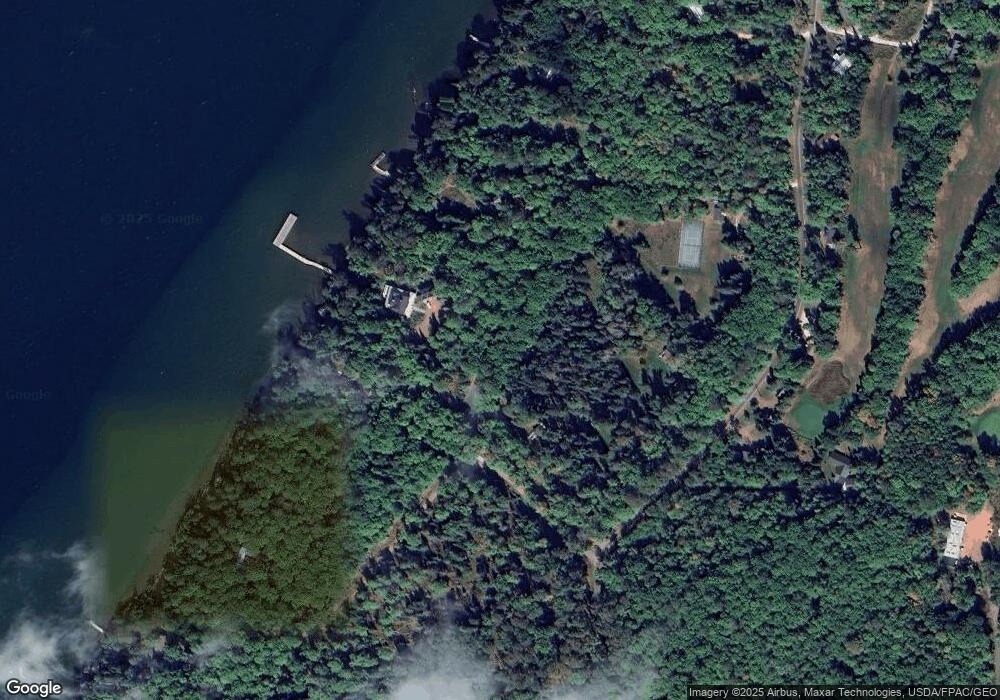
Map
Nearby Homes
- 436 Bojo Ln
- 365 Mondamin Tr
- 438 Minnewawa Rd
- 434 Minnewawa Rd
- Lot 2, Block 2 Raspberry Trail
- Lot 3, Block 1 Raspberry Trail
- Lot 6, Block 1 Raspberry Trail
- Lot 1, Block 2 Raspberry Trail
- Lot 5 Raspberry Trail
- Lot 1, Block 1 Raspberry Trail
- 657 Spruce Ln
- 933 Nebraska Row Unit 916 Whitefish Street
- 869 S Shore Rd
- 804 Middle Rd
- 873 Middle Rd Unit 871 Middle Rd
- 1161 Middle Rd
- Lots 1-5 Wilson Ave
- 33 N 1st St Unit 203
- 11XXX Old Military Rd
- 24610 State Highway 13