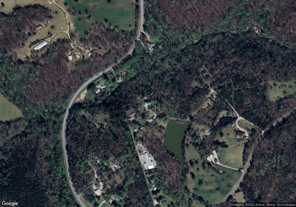
351 Pratten Dr Unit D Cleveland, GA 30528
Estimated Value: $435,182 - $538,000
3
Beds
4
Baths
1,831
Sq Ft
$266/Sq Ft
Est. Value
About This Home
This home is located at 351 Pratten Dr Unit D, Cleveland, GA 30528 and is currently estimated at $487,796, approximately $266 per square foot. 351 Pratten Dr Unit D is a home located in White County with nearby schools including Mount Yonah Elementary School, White County 9th Grade Academy, and White County Middle School.
Ownership History
Date
Name
Owned For
Owner Type
Purchase Details
Closed on
Oct 30, 2017
Sold by
Warwick Joyce E
Bought by
Forrester Daniel L and Forrester Shelia R
Current Estimated Value
Home Financials for this Owner
Home Financials are based on the most recent Mortgage that was taken out on this home.
Original Mortgage
$213,167
Outstanding Balance
$181,155
Interest Rate
4.4%
Mortgage Type
FHA
Estimated Equity
$306,641
Create a Home Valuation Report for This Property
The Home Valuation Report is an in-depth analysis detailing your home's value as well as a comparison with similar homes in the area
Home Values in the Area
Average Home Value in this Area
Purchase History
| Date | Buyer | Sale Price | Title Company |
|---|---|---|---|
| Forrester Daniel L | $217,100 | -- |
Source: Public Records
Mortgage History
| Date | Status | Borrower | Loan Amount |
|---|---|---|---|
| Open | Forrester Daniel L | $213,167 |
Source: Public Records
Tax History Compared to Growth
Tax History
| Year | Tax Paid | Tax Assessment Tax Assessment Total Assessment is a certain percentage of the fair market value that is determined by local assessors to be the total taxable value of land and additions on the property. | Land | Improvement |
|---|---|---|---|---|
| 2024 | $2,519 | $156,948 | $18,576 | $138,372 |
| 2023 | $2,012 | $130,992 | $16,512 | $114,480 |
| 2022 | $2,308 | $113,564 | $14,448 | $99,116 |
| 2021 | $2,267 | $92,336 | $12,544 | $79,792 |
| 2020 | $2,249 | $84,208 | $11,648 | $72,560 |
| 2019 | $2,256 | $84,208 | $11,648 | $72,560 |
| 2018 | $2,256 | $84,208 | $11,648 | $72,560 |
| 2017 | $2,138 | $78,408 | $11,648 | $66,760 |
| 2016 | $2,138 | $78,408 | $11,648 | $66,760 |
| 2015 | $2,040 | $196,020 | $11,648 | $66,760 |
| 2014 | $1,885 | $181,210 | $0 | $0 |
Source: Public Records
Map
Nearby Homes
- 61 Berry Patch Ln
- 179 Pine Brook Dr
- 95 Cedar Hollow Rd
- 0 Douglas Fir Dr Unit 10450306
- LOT 16 Morris Trail
- 294 Cedar Hollow Rd
- 9 Tanvor Trail
- 96 Tanvor Trail
- 4381 Duncan Bridge Rd
- 811 Merck Rd
- 675 Washboard Rd
- 807 Satterfield Rd
- 0 Amys Ford Trail Unit 10542887
- 0 Duncan Bridge Unit 10509840
- 0 Duncan Bridge Unit 7569175
- 25 Duncan Bridge Ct
- 77 N Shore Dr
- 86 White Pines Rd
- LOT 12 Heather Way
- 0 Yonah View Dr
- 351 Pratten Dr
- 388 Pratten Dr
- 313 Pratten Dr
- 278 Pratten Dr
- 5109 Duncan Bridge Rd
- 0 Pratten Dr Unit 7038425
- 0 Pratten Dr Unit 7104347
- 0 Pratten Dr Unit 7192263
- 0 Pratten Dr Unit 8496140
- 0 Pratten Dr
- 5195 Duncan Bridge Rd
- 5351 Duncan Bridge Rd
- 5499 Duncan Bridge Rd
- 425 Stovall Rd
- 431 Stovall Rd
- 423 Stovall Rd
- 170 Pratten Dr Unit 3
- 170 Pratten Dr
- 5497 Duncan Bridge Rd
- 335 Stovall Rd
