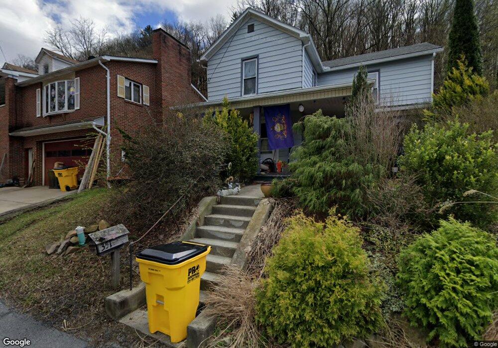
351 Sam St Johnstown, PA 15902
Estimated Value: $40,000 - $57,000
4
Beds
1
Bath
1,296
Sq Ft
$37/Sq Ft
Est. Value
About This Home
This home is located at 351 Sam St, Johnstown, PA 15902 and is currently estimated at $47,634, approximately $36 per square foot. 351 Sam St is a home located in Cambria County with nearby schools including Ferndale Elementary School, Ferndale Area Junior/Senior High School, and St. Patrick Elementary School.
Ownership History
Date
Name
Owned For
Owner Type
Purchase Details
Closed on
Aug 2, 2008
Bought by
Haskins Janice R
Current Estimated Value
Create a Home Valuation Report for This Property
The Home Valuation Report is an in-depth analysis detailing your home's value as well as a comparison with similar homes in the area
Home Values in the Area
Average Home Value in this Area
Purchase History
| Date | Buyer | Sale Price | Title Company |
|---|---|---|---|
| Haskins Janice R | $36,500 | -- |
Source: Public Records
Tax History Compared to Growth
Tax History
| Year | Tax Paid | Tax Assessment Tax Assessment Total Assessment is a certain percentage of the fair market value that is determined by local assessors to be the total taxable value of land and additions on the property. | Land | Improvement |
|---|---|---|---|---|
| 2025 | $282 | $6,640 | $1,460 | $5,180 |
| 2024 | $923 | $6,640 | $1,460 | $5,180 |
| 2023 | $900 | $6,640 | $1,460 | $5,180 |
| 2022 | $880 | $6,640 | $1,460 | $5,180 |
| 2021 | $880 | $6,640 | $1,460 | $5,180 |
| 2020 | $880 | $6,640 | $1,460 | $5,180 |
| 2019 | $860 | $6,640 | $1,460 | $5,180 |
| 2018 | $840 | $6,640 | $1,460 | $5,180 |
| 2017 | $823 | $6,640 | $1,460 | $5,180 |
| 2016 | $229 | $6,640 | $1,460 | $5,180 |
| 2015 | $196 | $6,640 | $1,460 | $5,180 |
| 2014 | $196 | $6,640 | $1,460 | $5,180 |
Source: Public Records
Map
Nearby Homes
- 394 Ohio St
- 298 Lunen St
- 0 Forest Ave
- 110 Oakland Ave
- 282 Lunen St
- 560 Highland Ave
- 659 Russell Ave
- 620-622 Highland Ave
- 512 Cypress Ave Unit 14
- 713 Linden Ave Unit 15
- 217 Bond St
- 736-738 / 185 Grove Avenue Charles St
- 209 Blue Diamond St
- 800 Highland Ave
- 210 Grove Ave
- 182 Highland Park Rd
- 735 Grove Ave
- 821 Highland Ave
- 825 Cypress Ave Unit 27
- 922-924 von Lunen Rd