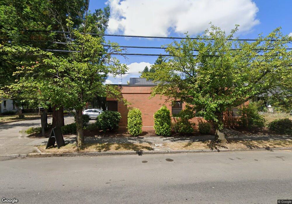
351 SE Baker St Unit B Mc Minnville, OR 97128
Estimated Value: $392,038
--
Bed
--
Bath
1,400
Sq Ft
$280/Sq Ft
Est. Value
About This Home
This home is located at 351 SE Baker St Unit B, Mc Minnville, OR 97128 and is currently estimated at $392,038, approximately $280 per square foot. 351 SE Baker St Unit B is a home located in Yamhill County with nearby schools including Sue Buel Elementary School, Duniway Middle School, and McMinnville High School.
Ownership History
Date
Name
Owned For
Owner Type
Purchase Details
Closed on
Aug 7, 2025
Sold by
Barnes Christopher and Barnes Bethany
Bought by
Essential Services 351 Se Baker Street Llc
Current Estimated Value
Home Financials for this Owner
Home Financials are based on the most recent Mortgage that was taken out on this home.
Original Mortgage
$327,200
Outstanding Balance
$326,781
Interest Rate
6.77%
Mortgage Type
New Conventional
Estimated Equity
$65,257
Purchase Details
Closed on
Dec 15, 2022
Sold by
Tran Joseph
Bought by
Barnes Christopher and Barnes Bethany
Create a Home Valuation Report for This Property
The Home Valuation Report is an in-depth analysis detailing your home's value as well as a comparison with similar homes in the area
Home Values in the Area
Average Home Value in this Area
Purchase History
| Date | Buyer | Sale Price | Title Company |
|---|---|---|---|
| Essential Services 351 Se Baker Street Llc | $385,000 | Ticor Title | |
| Barnes Christopher | $325,000 | Ticor Title |
Source: Public Records
Mortgage History
| Date | Status | Borrower | Loan Amount |
|---|---|---|---|
| Open | Essential Services 351 Se Baker Street Llc | $327,200 |
Source: Public Records
Tax History Compared to Growth
Tax History
| Year | Tax Paid | Tax Assessment Tax Assessment Total Assessment is a certain percentage of the fair market value that is determined by local assessors to be the total taxable value of land and additions on the property. | Land | Improvement |
|---|---|---|---|---|
| 2024 | $4,720 | $271,578 | -- | -- |
| 2023 | $4,457 | $263,668 | $0 | $0 |
| 2022 | $4,222 | $255,988 | $0 | $0 |
| 2021 | $4,122 | $248,532 | $0 | $0 |
| 2020 | $4,089 | $241,293 | $0 | $0 |
| 2019 | $3,978 | $234,265 | $0 | $0 |
| 2018 | $3,900 | $227,442 | $0 | $0 |
| 2017 | $3,764 | $220,817 | $0 | $0 |
| 2016 | $3,629 | $214,385 | $0 | $0 |
| 2015 | $3,024 | $178,335 | $0 | $0 |
| 2014 | $2,888 | $174,838 | $0 | $0 |
Source: Public Records
Map
Nearby Homes
- 323 SE Cowls St
- 315 SE Davis St
- 240 SE Davis St
- 708 SE Davis St
- 630 SE 1st St
- 718 SW Cedarwood Ave
- 834 SE Shady St
- 724 SW Edmunston St
- 507 NE Davis St
- 218 NW Ash St
- 1050 SE Millright Ave
- 697 SE Millright Ave
- 809 NE Evans St
- 1301 SW Melrose Ave
- 1036 SW 2nd St
- 2894 NW Shadden Dr
- 206 NE 10th St
- 126 NW 10th St
- 1116 SW Russ Ln
- 1110 SW 2nd St
- 351 SE Baker St
- 353 SE Baker St
- 345 SE Baker St
- 355 SE Baker St
- 355 SE Baker St Unit 90004
- 335 SE Baker St
- 411 SE Baker St Unit 2
- 411 SE Baker St
- 350 SE Baker St
- 323 SE Baker St
- 340 SE Baker St
- 330 SE Baker St
- 325 SE Baker St
- 313 SE Baker St
- 424 SE Baker St
- 355 SE Cowls St
- 343 SE Cowls St
- 327 SW Adams St
- 301 SE Baker St
- 329 SW Adams St