Estimated Value: $1,167,000 - $2,387,313
5
Beds
6
Baths
5,580
Sq Ft
$283/Sq Ft
Est. Value
About This Home
This home is located at 351 Shaker Rd, Gray, ME 04039 and is currently estimated at $1,579,104, approximately $282 per square foot. 351 Shaker Rd is a home located in Cumberland County with nearby schools including Gray-New Gloucester High School and Fiddlehead School of Arts & Science.
Ownership History
Date
Name
Owned For
Owner Type
Purchase Details
Closed on
Apr 30, 2015
Sold by
Liberty Ft
Bought by
Liberty Family Llc
Current Estimated Value
Purchase Details
Closed on
Apr 13, 2015
Sold by
Crystal Lake Land T
Bought by
Liberty Ft
Purchase Details
Closed on
Feb 6, 2014
Sold by
Liberty Gail M
Bought by
Crystal Lake Land T
Create a Home Valuation Report for This Property
The Home Valuation Report is an in-depth analysis detailing your home's value as well as a comparison with similar homes in the area
Home Values in the Area
Average Home Value in this Area
Purchase History
| Date | Buyer | Sale Price | Title Company |
|---|---|---|---|
| Liberty Family Llc | -- | -- | |
| Liberty Ft | -- | -- | |
| Crystal Lake Land T | -- | -- |
Source: Public Records
Tax History
| Year | Tax Paid | Tax Assessment Tax Assessment Total Assessment is a certain percentage of the fair market value that is determined by local assessors to be the total taxable value of land and additions on the property. | Land | Improvement |
|---|---|---|---|---|
| 2025 | $19,476 | $2,012,000 | $658,400 | $1,353,600 |
| 2024 | $19,516 | $2,012,000 | $658,400 | $1,353,600 |
| 2023 | $16,335 | $1,076,100 | $224,800 | $851,300 |
| 2022 | $15,012 | $1,076,100 | $224,800 | $851,300 |
| 2021 | $15,078 | $1,032,000 | $224,800 | $807,200 |
| 2020 | $14,558 | $987,000 | $224,800 | $762,200 |
| 2019 | $14,558 | $987,000 | $224,800 | $762,200 |
| 2018 | $13,818 | $987,000 | $224,800 | $762,200 |
| 2017 | $16,203 | $897,700 | $262,300 | $635,400 |
| 2016 | $16,428 | $897,700 | $262,300 | $635,400 |
| 2015 | $16,338 | $897,700 | $262,300 | $635,400 |
| 2014 | $16,338 | $897,700 | $262,300 | $635,400 |
| 2012 | -- | $825,589 | $262,250 | $563,339 |
Source: Public Records
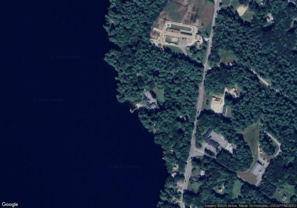
Map
Nearby Homes
- 65 Blueberry Ln
- 4 Chelsey Ln
- 224 Shaker Rd
- Lot 21-29 Weymouth Rd
- 86 Skips Way
- 3 First Mill Dr
- 270 Mayall Rd
- M011-006 Westwood Rd
- 0 Mayall
- 17 Callaway Dr Unit 17
- 14 Golden Way
- 52 Colley Hill Rd
- 0 Colley Hill Rd
- 13 Yarmouth Rd
- 25 Yarmouth Rd
- TBD Emmaus Rd
- 14 Yarmouth Rd
- 155 & 151 Gloucester Hill Rd
- 163 Valley Rd
- 2 Gore Rd
Your Personal Tour Guide
Ask me questions while you tour the home.