351 Smoketown Rd Unit 5 Hanover, PA 17331
Estimated Value: $260,521 - $353,000
3
Beds
2
Baths
1,226
Sq Ft
$245/Sq Ft
Est. Value
About This Home
This home is located at 351 Smoketown Rd Unit 5, Hanover, PA 17331 and is currently estimated at $300,880, approximately $245 per square foot. 351 Smoketown Rd Unit 5 is a home located in Adams County with nearby schools including New Oxford Senior High School, St. Teresa of Calcutta Catholic School - Conewago Campus, and St. Teresa of Calcutta Catholic School - McSherrystown Campus.
Ownership History
Date
Name
Owned For
Owner Type
Purchase Details
Closed on
Apr 23, 2003
Bought by
Pope Laura J and Pope Rickie A
Current Estimated Value
Create a Home Valuation Report for This Property
The Home Valuation Report is an in-depth analysis detailing your home's value as well as a comparison with similar homes in the area
Home Values in the Area
Average Home Value in this Area
Purchase History
| Date | Buyer | Sale Price | Title Company |
|---|---|---|---|
| Pope Laura J | -- | -- |
Source: Public Records
Tax History Compared to Growth
Tax History
| Year | Tax Paid | Tax Assessment Tax Assessment Total Assessment is a certain percentage of the fair market value that is determined by local assessors to be the total taxable value of land and additions on the property. | Land | Improvement |
|---|---|---|---|---|
| 2025 | $3,355 | $173,100 | $39,200 | $133,900 |
| 2024 | $3,603 | $173,100 | $39,200 | $133,900 |
| 2023 | $3,461 | $173,100 | $39,200 | $133,900 |
| 2022 | $3,348 | $173,100 | $39,200 | $133,900 |
| 2021 | $3,257 | $173,100 | $39,200 | $133,900 |
| 2020 | $3,175 | $173,100 | $39,200 | $133,900 |
| 2019 | $3,105 | $173,100 | $39,200 | $133,900 |
| 2018 | $3,035 | $173,100 | $39,200 | $133,900 |
| 2017 | $2,901 | $173,100 | $39,200 | $133,900 |
| 2016 | -- | $173,100 | $39,200 | $133,900 |
| 2015 | -- | $173,100 | $39,200 | $133,900 |
| 2014 | -- | $173,100 | $39,200 | $133,900 |
Source: Public Records
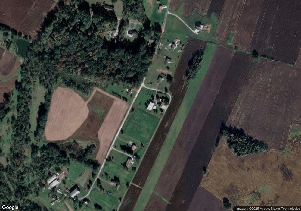
Map
Nearby Homes
- 345 Smoketown Rd
- 4900 Hanover Rd
- 2779 Centennial Rd
- 2856 Centennial Rd
- 1442 Honda Rd
- 3211 Centennial Rd
- 152 St Michaels Way Unit 18
- 51 Michael St Unit 6
- 5694 Hanover Rd
- 40 Sandy Ct Unit 19
- 820 Storms Store Rd
- 15 Warm Breeze Ct Unit 96
- 25 Eagle Ln
- 113 Flint Dr
- 105 Flint Dr
- 87 Eagle Ln
- 108 Flint Dr
- 0 Irishtown Rd
- 11 Flint Dr
- 73 Flint Dr
- 351 Smoketown Rd Unit 6
- 351 Smoketown Rd
- 349 Smoketown Rd
- 349 Smoketown Rd Unit 1,3,6,7
- 349 Smoketown Rd Unit 3
- 349 Smoketown Rd Unit 1
- 349 Smoketown Rd Unit B
- 349 Smoketown Rd Unit D
- 349 Smoketown Rd Unit 2
- 347 Smoketown Rd
- 347 Smoketown Rd Unit A
- 347 Smoketown Rd Unit 6
- 353 Smoketown Rd
- 355 Smoketown Rd
- 343 Smoketown Rd
- 329 Smoketown Rd Unit 2
- 357 Smoketown Rd
- 309 Smoketown Rd Unit 3
- 291 Smoketown Rd Unit 3
- 310 Smoketown Rd