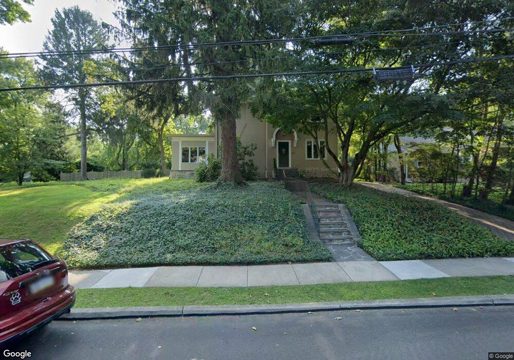
351 Summit Rd Springfield, PA 19064
Estimated Value: $665,272 - $743,000
4
Beds
3
Baths
2,722
Sq Ft
$263/Sq Ft
Est. Value
About This Home
This home is located at 351 Summit Rd, Springfield, PA 19064 and is currently estimated at $717,091, approximately $263 per square foot. 351 Summit Rd is a home located in Delaware County with nearby schools including Springfield High School, St Francis Of Assisi School, and Holy Cross School.
Ownership History
Date
Name
Owned For
Owner Type
Purchase Details
Closed on
Jun 29, 1999
Sold by
Gridley David R and Gridley Ella E
Bought by
Williams James R and Williams Janice L
Current Estimated Value
Home Financials for this Owner
Home Financials are based on the most recent Mortgage that was taken out on this home.
Original Mortgage
$236,000
Outstanding Balance
$64,175
Interest Rate
7.19%
Estimated Equity
$652,916
Create a Home Valuation Report for This Property
The Home Valuation Report is an in-depth analysis detailing your home's value as well as a comparison with similar homes in the area
Home Values in the Area
Average Home Value in this Area
Purchase History
| Date | Buyer | Sale Price | Title Company |
|---|---|---|---|
| Williams James R | $295,000 | First American Title Ins Co |
Source: Public Records
Mortgage History
| Date | Status | Borrower | Loan Amount |
|---|---|---|---|
| Open | Williams James R | $236,000 | |
| Closed | Williams James R | $29,500 |
Source: Public Records
Tax History
| Year | Tax Paid | Tax Assessment Tax Assessment Total Assessment is a certain percentage of the fair market value that is determined by local assessors to be the total taxable value of land and additions on the property. | Land | Improvement |
|---|---|---|---|---|
| 2025 | $9,909 | $352,550 | $139,690 | $212,860 |
| 2024 | $9,909 | $352,550 | $139,690 | $212,860 |
| 2023 | $9,541 | $352,550 | $139,690 | $212,860 |
| 2022 | $9,335 | $352,550 | $139,690 | $212,860 |
| 2021 | $14,457 | $352,550 | $139,690 | $212,860 |
| 2020 | $9,034 | $199,360 | $64,100 | $135,260 |
| 2019 | $8,822 | $199,360 | $64,100 | $135,260 |
| 2018 | $8,695 | $199,360 | $0 | $0 |
| 2017 | $8,494 | $199,360 | $0 | $0 |
| 2016 | $1,094 | $199,360 | $0 | $0 |
| 2015 | $1,094 | $199,360 | $0 | $0 |
| 2014 | $1,094 | $199,360 | $0 | $0 |
Source: Public Records
Map
Nearby Homes
- 412 Foster Dr
- 120 W Springfield Rd
- 29 School Ln
- 501 Flora Cir
- 606 W Springfield Rd
- 42 Greenhill Rd
- 436 Kerr Ln
- 238 Alliston Rd
- 225 Lynbrooke Rd
- 226 Lynbrooke Rd
- 359 Spring Valley Rd
- 253 Saxer Ave
- 264 Pancoast Ave
- 364 S Rolling Rd
- 227 E Leamy Ave
- 354 E Springfield Rd
- 334 Parham Rd
- 641 W Sproul Rd
- 658 W Rolling Rd
- 463 Foulke Ln
- 343 Summit Rd
- 340 Summit Rd
- 335 Summit Rd
- 369 Summit Rd
- 329 Summit Rd
- 332 Summit Rd
- 373 Summit Rd
- 324 Summit Rd
- 218 Cascade Rd
- 316 Summit Rd
- 323 Summit Rd
- 212 Cascade Rd
- 115 Parkview Dr
- 311 W Springfield Rd
- 301 W Springfield Rd
- 109 Parkview Dr
- 200 Cascade Rd
- 42 N Hillcrest Rd
- 119 Parkview Dr
- 317 Summit Rd
Your Personal Tour Guide
Ask me questions while you tour the home.