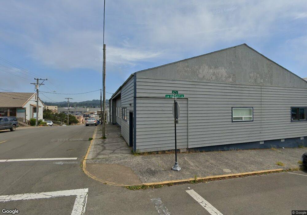
351 SW 7th St Newport, OR 97365
Estimated Value: $700,588
--
Bed
3
Baths
4,957
Sq Ft
$141/Sq Ft
Est. Value
About This Home
This home is located at 351 SW 7th St, Newport, OR 97365 and is currently estimated at $700,588, approximately $141 per square foot. 351 SW 7th St is a home located in Lincoln County with nearby schools including Yaquina View Elementary School, Sam Case Elementary School, and Newport High School.
Ownership History
Date
Name
Owned For
Owner Type
Purchase Details
Closed on
Jul 2, 2015
Sold by
Lincoln County Council On Alcohol & Drug
Bought by
Crossroads Nonviolence Education Llc
Current Estimated Value
Home Financials for this Owner
Home Financials are based on the most recent Mortgage that was taken out on this home.
Original Mortgage
$120,000
Outstanding Balance
$48,524
Interest Rate
3.81%
Mortgage Type
Commercial
Estimated Equity
$652,064
Create a Home Valuation Report for This Property
The Home Valuation Report is an in-depth analysis detailing your home's value as well as a comparison with similar homes in the area
Home Values in the Area
Average Home Value in this Area
Purchase History
| Date | Buyer | Sale Price | Title Company |
|---|---|---|---|
| Crossroads Nonviolence Education Llc | $160,000 | First American Title Ins Co |
Source: Public Records
Mortgage History
| Date | Status | Borrower | Loan Amount |
|---|---|---|---|
| Closed | Crossroads Nonviolence Ed Ucation Llc | -- | |
| Open | Crossroads Nonviolence Education Llc | $120,000 | |
| Previous Owner | Lincoln County Council On Alcohol & Drug | $127,800 |
Source: Public Records
Tax History Compared to Growth
Tax History
| Year | Tax Paid | Tax Assessment Tax Assessment Total Assessment is a certain percentage of the fair market value that is determined by local assessors to be the total taxable value of land and additions on the property. | Land | Improvement |
|---|---|---|---|---|
| 2024 | -- | -- | -- | -- |
| 2023 | $4,634 | $255,340 | $0 | $0 |
| 2022 | $4,491 | $247,910 | $0 | $0 |
| 2021 | $4,414 | $240,690 | $0 | $0 |
| 2020 | $4,309 | $233,680 | $0 | $0 |
| 2019 | $4,124 | $226,880 | $0 | $0 |
| 2018 | $3,998 | $220,280 | $0 | $0 |
| 2017 | $3,962 | $213,870 | $0 | $0 |
| 2016 | $3,878 | $207,650 | $0 | $0 |
| 2015 | $2,988 | $167,520 | $0 | $0 |
| 2014 | $2,921 | $162,650 | $0 | $0 |
| 2013 | -- | $157,920 | $0 | $0 |
Source: Public Records
Map
Nearby Homes
- 443 SW 7th St
- 130 SW Brook St
- 449 SW 10th St
- 538 SW Coast Hwy
- 520 SW 4th St
- 135 SW Coast St
- 1112 SW Hurbert St Unit 3
- 144 SW Coast St
- 107 SW Coast St
- Lot 4000 SW 4th St
- Lot 4100 SW 4th St
- 47 SW Coast St
- 5700 SW 9th St
- 5900-6100 T L Sw 12th St
- 5900 Tl Sw 12th St
- 17 N Coast Hwy
- 721 NW 1st St
- Lot 11 NW 2nd St
- 92 N Coast Hwy
- 24 N Coast Hwy
- 715 SW Hurbert St
- 344 SW 7th Suite D St
- 704 SW Hurbert St
- 706 SW Hurbert St
- 344 SW 7th St
- 332 SW Coast Hwy
- 625 SW Hurbert St
- 714 SW Hurbert St
- 334 SW 7th St
- 611 SW Hurbert St
- 414 SW Coast Hwy
- 312 SW Coast Hwy
- 605 SW Hurbert St
- 618 SW Hurbert St
- 424 SW Coast Hwy
- 418 SW Coast Hwy
- 324 SW 7th St
- 607 SW Hurbert St
- 345 SW Coast Hwy
- 612 SW Hurbert St