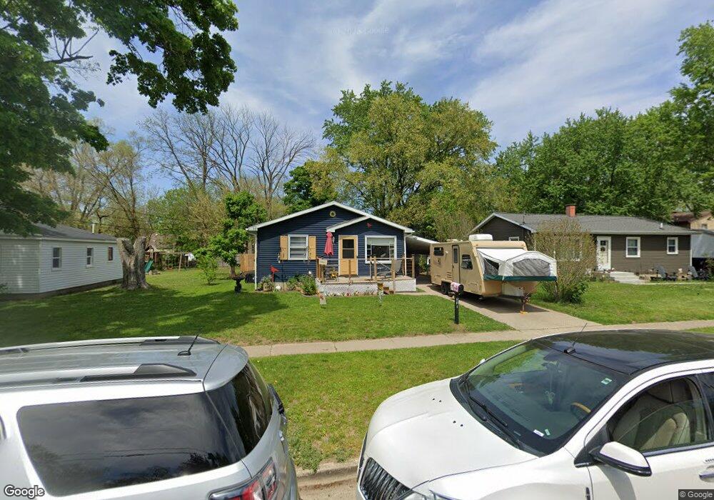
351 Walter St SE Grand Rapids, MI 49548
Estimated Value: $195,000 - $242,000
3
Beds
1
Bath
760
Sq Ft
$299/Sq Ft
Est. Value
About This Home
This home is located at 351 Walter St SE, Grand Rapids, MI 49548 and is currently estimated at $227,159, approximately $298 per square foot. 351 Walter St SE is a home located in Kent County with nearby schools including Godwin Heights Senior High School, AnchorPoint Christian School, and West Michigan Lutheran High School.
Ownership History
Date
Name
Owned For
Owner Type
Purchase Details
Closed on
Aug 29, 2007
Sold by
Stott Kristopher and Pou Maranda
Bought by
Deutsche Bank National Trust Co and New Century Home Equity Loan Trust 2005-
Current Estimated Value
Purchase Details
Closed on
Dec 13, 2002
Sold by
Nguyen Thanh Xuan and Nguyen Trang Thi Xuan
Bought by
Stott Kristopher and Pou Maranda
Home Financials for this Owner
Home Financials are based on the most recent Mortgage that was taken out on this home.
Original Mortgage
$92,270
Interest Rate
6.01%
Mortgage Type
FHA
Purchase Details
Closed on
Jun 29, 1995
Create a Home Valuation Report for This Property
The Home Valuation Report is an in-depth analysis detailing your home's value as well as a comparison with similar homes in the area
Home Values in the Area
Average Home Value in this Area
Purchase History
| Date | Buyer | Sale Price | Title Company |
|---|---|---|---|
| Deutsche Bank National Trust Co | $85,000 | None Available | |
| Stott Kristopher | $93,000 | -- | |
| -- | $65,000 | -- |
Source: Public Records
Mortgage History
| Date | Status | Borrower | Loan Amount |
|---|---|---|---|
| Previous Owner | Stott Kristopher | $92,270 |
Source: Public Records
Tax History Compared to Growth
Tax History
| Year | Tax Paid | Tax Assessment Tax Assessment Total Assessment is a certain percentage of the fair market value that is determined by local assessors to be the total taxable value of land and additions on the property. | Land | Improvement |
|---|---|---|---|---|
| 2025 | $1,496 | $93,900 | $0 | $0 |
| 2024 | $1,496 | $83,400 | $0 | $0 |
| 2023 | $2,390 | $76,400 | $0 | $0 |
| 2022 | $2,245 | $63,900 | $0 | $0 |
| 2021 | $2,186 | $58,600 | $0 | $0 |
| 2020 | $1,606 | $61,200 | $0 | $0 |
| 2019 | $1,915 | $55,000 | $0 | $0 |
| 2018 | $2,088 | $48,800 | $0 | $0 |
| 2017 | $2,038 | $41,600 | $0 | $0 |
| 2016 | $1,982 | $36,800 | $0 | $0 |
| 2015 | $1,949 | $36,800 | $0 | $0 |
| 2013 | -- | $33,600 | $0 | $0 |
Source: Public Records
Map
Nearby Homes
- 344 Abbie St SE
- 311 Walter St SE
- 339 Burt Ave SE
- 4111 Woodstock Ave SE
- 4117 Woodstock Ave SE
- 4104 Jefferson Ave SE
- 251 43rd St SE
- 350 Murray St SE
- 49 Thurston St SW
- 102 Murray St SE
- 4060 Buchanan Ave SW
- 4438 Jefferson Ave SE
- 228 Floyd St SW
- 4503 Madison Ave SE
- 217 Maplelawn St SW
- 216 Maplelawn St SW
- 4509 Wilkshire Ave SW
- 467 Stonehenge St SE
- 4545 Potter Ave SE
- 4481 Marshall Ave SE
- 361 Walter St SE
- 347 Walter St SE
- 347 Walter St SE Unit 349
- 356 Abbie St SE
- 350 Abbie St SE
- 337 Walter St SE
- 3913 Madison Ave SE
- 3925 Madison Ave SE
- 360 Abbie St SE
- 366 Abbie St SE
- 338 Abbie St SE
- 350 Walter St SE
- 356 Walter St SE
- 344 Walter St SE
- 3891 Madison Ave SE
- 3891 Madison Ave SE Unit 3893
- 336 Abbie St SE
- 360 Walter St SE
- 334 Walter St SE
- 332 Abbie St SE