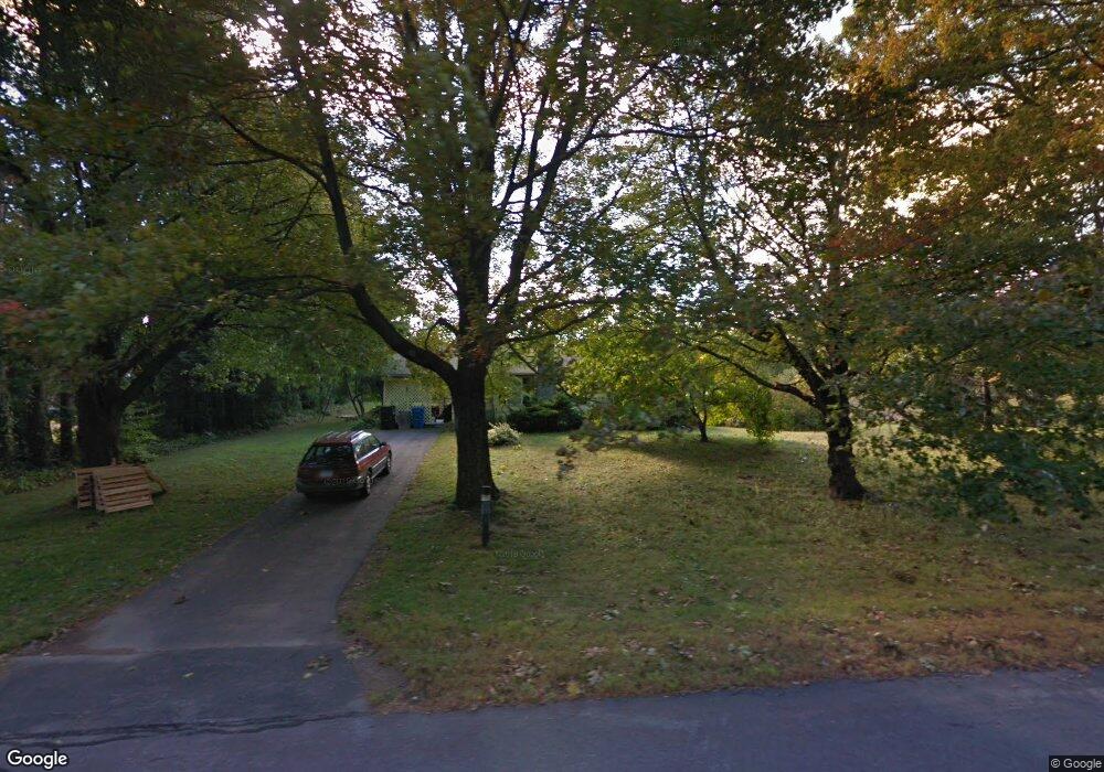
351 Wildcat Hill Rd Harwinton, CT 06791
Estimated Value: $345,000
2
Beds
1
Bath
874
Sq Ft
$395/Sq Ft
Est. Value
About This Home
This home is located at 351 Wildcat Hill Rd, Harwinton, CT 06791 and is currently estimated at $345,000, approximately $394 per square foot. 351 Wildcat Hill Rd is a home located in Litchfield County with nearby schools including Harwinton Consolidated School, Har-Bur Middle School, and Lewis S. Mills High School.
Ownership History
Date
Name
Owned For
Owner Type
Purchase Details
Closed on
Sep 28, 2006
Sold by
Addison Diane C
Bought by
Piper George
Current Estimated Value
Home Financials for this Owner
Home Financials are based on the most recent Mortgage that was taken out on this home.
Original Mortgage
$50,000
Outstanding Balance
$29,781
Interest Rate
6.52%
Estimated Equity
$315,219
Purchase Details
Closed on
Jul 22, 1987
Sold by
Thomas Frances J
Bought by
Addison Patrick M
Create a Home Valuation Report for This Property
The Home Valuation Report is an in-depth analysis detailing your home's value as well as a comparison with similar homes in the area
Home Values in the Area
Average Home Value in this Area
Purchase History
| Date | Buyer | Sale Price | Title Company |
|---|---|---|---|
| Piper George | $200,000 | -- | |
| Piper George | $200,000 | -- | |
| Addison Patrick M | $150,000 | -- |
Source: Public Records
Mortgage History
| Date | Status | Borrower | Loan Amount |
|---|---|---|---|
| Open | Addison Patrick M | $50,000 | |
| Closed | Addison Patrick M | $50,000 | |
| Previous Owner | Addison Patrick M | $51,507 |
Source: Public Records
Tax History Compared to Growth
Tax History
| Year | Tax Paid | Tax Assessment Tax Assessment Total Assessment is a certain percentage of the fair market value that is determined by local assessors to be the total taxable value of land and additions on the property. | Land | Improvement |
|---|---|---|---|---|
| 2025 | $3,862 | $167,900 | $69,780 | $98,120 |
| 2024 | $3,845 | $167,900 | $69,780 | $98,120 |
| 2023 | $2,776 | $95,070 | $49,850 | $45,220 |
| 2022 | $2,709 | $95,070 | $49,850 | $45,220 |
| 2021 | $2,729 | $95,070 | $49,850 | $45,220 |
| 2020 | $2,662 | $95,070 | $49,850 | $45,220 |
| 2019 | $2,662 | $95,070 | $49,850 | $45,220 |
| 2018 | $2,943 | $105,100 | $62,600 | $42,500 |
| 2017 | $2,922 | $105,100 | $62,600 | $42,500 |
| 2016 | $2,922 | $105,100 | $62,600 | $42,500 |
| 2015 | $2,869 | $105,100 | $62,600 | $42,500 |
| 2014 | $2,827 | $105,100 | $62,600 | $42,500 |
Source: Public Records
Map
Nearby Homes
- 183 Wildcat Hill Rd
- 530 Wildcat Hill Rd
- Lot 2 Birch Hill Rd
- 0 Hill Rd Unit 24132154
- 0 Reder Rd Unit 24133780
- 39 Orchard Hill Rd
- 544 Litchfield Rd
- 753 Hill Rd
- 83 Shingle Mill Rd
- 52 Fenn Rd
- 21 South Rd
- 28 Lily Pond Rd
- 25 Plymouth Rd
- 18 Highview Dr
- 12 Break Maiden Ln
- 214 Scoville Hill Rd
- 17 Hill Top Ln
- 0 Wheeler Rd
- 74 Pine Ridge Dr
- 73 Mcbride Rd
- 369 Wildcat Hill Rd
- 370 Wildcat Hill Rd
- 323 Wildcat Hill Rd
- 16 Campville Hill Rd
- 1 Campville Hill Rd
- 3 Campville Hill Rd
- 315 Wildcat Hill Rd
- 30 Campville Hill Rd
- 310 Wildcat Hill Rd
- 11 Campville Hill Rd
- 403 Wildcat Hill Rd
- 29 Campville Hill Rd
- 45 Campville Hill Rd
- 417 Wildcat Hill Rd
- 282 Wildcat Hill Rd
- 65 Campville Hill Rd
- 68 Campville Hill Rd
- 76 Campville Hill Rd
- 82 Campville Hill Rd
- 443 Wildcat Hill Rd