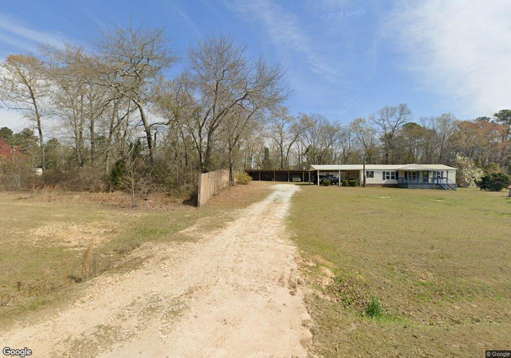
351 Wright Reese Rd Warrenton, GA 30828
Estimated Value: $68,948 - $142,000
Studio
--
Bath
--
Sq Ft
77,972
Sq Ft Lot
About This Home
This home is located at 351 Wright Reese Rd, Warrenton, GA 30828 and is currently estimated at $99,316. 351 Wright Reese Rd is a home with nearby schools including Freeman Elementary School, Warren County Middle School, and Warren County High School.
Ownership History
Date
Name
Owned For
Owner Type
Purchase Details
Closed on
Sep 21, 2018
Sold by
Kitchens John S
Bought by
Vazquez Elidia
Current Estimated Value
Purchase Details
Closed on
Sep 18, 2017
Sold by
Battles David E
Bought by
Kitchens John S
Purchase Details
Closed on
Apr 23, 2012
Sold by
Kitchens Patricia G
Bought by
Battles Sherrie
Purchase Details
Closed on
Feb 23, 2006
Sold by
Sec Of Housing & U
Bought by
Snow Coquita L
Purchase Details
Closed on
Jun 1, 2000
Sold by
Goddard Huey and Goddard Sherr
Bought by
Kitchens Patricia G
Purchase Details
Closed on
Mar 11, 1999
Sold by
Turnbull David
Bought by
Goddard Huey and Goddard Sherr
Create a Home Valuation Report for This Property
The Home Valuation Report is an in-depth analysis detailing your home's value as well as a comparison with similar homes in the area
Purchase History
| Date | Buyer | Sale Price | Title Company |
|---|---|---|---|
| Vazquez Elidia | $19,000 | -- | |
| Kitchens John S | -- | -- | |
| Battles Sherrie | -- | -- | |
| Snow Coquita L | $27,812 | -- | |
| Kitchens Patricia G | -- | -- | |
| Goddard Huey | $4,000 | -- |
Source: Public Records
Tax History
| Year | Tax Paid | Tax Assessment Tax Assessment Total Assessment is a certain percentage of the fair market value that is determined by local assessors to be the total taxable value of land and additions on the property. | Land | Improvement |
|---|---|---|---|---|
| 2025 | $158 | $5,253 | $4,235 | $1,018 |
| 2024 | $105 | $3,371 | $2,353 | $1,018 |
| 2023 | $105 | $3,371 | $2,353 | $1,018 |
| 2022 | $105 | $3,371 | $2,353 | $1,018 |
| 2021 | $105 | $3,371 | $2,353 | $1,018 |
| 2020 | $105 | $3,371 | $2,353 | $1,018 |
| 2019 | $106 | $3,371 | $2,353 | $1,018 |
| 2018 | $102 | $3,371 | $2,353 | $1,018 |
| 2017 | $102 | $3,371 | $2,353 | $1,018 |
Source: Public Records
Map
Nearby Homes
- 3368 Sandhill Rd
- 4334 Sandhill Rd
- 4008 Wrens Hwy
- Edford Reese Rd
- Edford Reese Rd
- Edford Reese Rd
- Edford Reese Rd
- Edford Reese Rd
- 2146 Thomson Hwy
- LOT 76 W Plainview Dr
- LOT 77 W Plainview Dr
- 141 Gin Branch Rd
- 150 Gin Branch Rd
- 110 Big Rock Rd
- 141 Big Rock Rd
- 111 Alcovy Rd
- 156 Alcovy Rd
- 141 Alcovy Rd
- 155 Alcovy Rd
- 166 Alcovy Rd
- 349 Wright-Reese Rd
- 353 Wright Reese Rd
- 449 Wright Reese Rd
- 329 Wright Reese Rd
- 271 Wright Reese Rd
- 231 Wright Reese Rd
- 324 Wright Reese Rd
- 217 Wright Reese Rd
- 635 Wright Reese Rd
- 635 Wright-Reese Rd
- 21 Cowhide Rd
- 1457 Thompson Rd
- 809 Little Brier Creek Church Rd
- 809 Little Brier Creek Church Rd
- 691 Little Brier Creek Church Rd
- 1664 Thompson Rd
- 1832 Thompson Rd
- 775 Cowhide Rd
- 9 Cowhide Rd
- 3902 Cowhide Rd
Your Personal Tour Guide
Ask me questions while you tour the home.