Estimated Value: $401,000 - $644,008
3
Beds
2
Baths
2,582
Sq Ft
$202/Sq Ft
Est. Value
About This Home
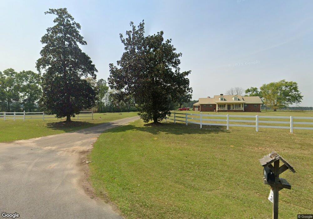
This home is located at 3510 Ga Highway 111 S, Cairo, GA 39828 and is currently estimated at $522,504, approximately $202 per square foot. 3510 Ga Highway 111 S is a home.
Ownership History
Date
Name
Owned For
Owner Type
Purchase Details
Closed on
Feb 1, 2024
Sold by
Williams Robert G
Bought by
Ausley Jacob Cole and Ausley Morgan Whigham
Current Estimated Value
Home Financials for this Owner
Home Financials are based on the most recent Mortgage that was taken out on this home.
Original Mortgage
$302,852
Outstanding Balance
$217,526
Interest Rate
6.62%
Mortgage Type
New Conventional
Estimated Equity
$304,978
Purchase Details
Closed on
May 3, 2018
Sold by
Williams Elizabeth E
Bought by
Williams Robert G
Purchase Details
Closed on
Mar 11, 1983
Bought by
Williams Robert G
Create a Home Valuation Report for This Property
The Home Valuation Report is an in-depth analysis detailing your home's value as well as a comparison with similar homes in the area
Home Values in the Area
Average Home Value in this Area
Purchase History
| Date | Buyer | Sale Price | Title Company |
|---|---|---|---|
| Ausley Jacob Cole | $338,310 | -- | |
| Williams Robert G | $1,115,000 | -- | |
| Williams Robert G | $198,300 | -- |
Source: Public Records
Mortgage History
| Date | Status | Borrower | Loan Amount |
|---|---|---|---|
| Open | Ausley Jacob Cole | $302,852 |
Source: Public Records
Tax History Compared to Growth
Tax History
| Year | Tax Paid | Tax Assessment Tax Assessment Total Assessment is a certain percentage of the fair market value that is determined by local assessors to be the total taxable value of land and additions on the property. | Land | Improvement |
|---|---|---|---|---|
| 2024 | $5,590 | $360,706 | $245,898 | $114,808 |
| 2023 | $4,529 | $246,929 | $163,819 | $83,110 |
| 2022 | $4,473 | $246,929 | $163,819 | $83,110 |
| 2021 | $4,416 | $249,086 | $165,976 | $83,110 |
| 2020 | $4,377 | $249,086 | $165,976 | $83,110 |
| 2019 | $4,324 | $249,086 | $165,976 | $83,110 |
| 2018 | $3,822 | $253,744 | $170,634 | $83,110 |
| 2017 | $3,598 | $253,744 | $170,634 | $83,110 |
| 2016 | $3,221 | $240,829 | $170,634 | $70,196 |
| 2015 | $3,145 | $240,829 | $170,634 | $70,196 |
| 2014 | $3,114 | $240,829 | $170,634 | $70,196 |
| 2013 | -- | $236,338 | $170,633 | $65,705 |
Source: Public Records
Map
Nearby Homes
- 000 Magnolia Dr NW
- 171 Council Ln
- 316 Faircloth Rd
- 00 Tired Creek Rd
- 4761 Hadley Ferry Road (428+ - Acres)
- 4103 Hadley Ferry Rd
- 723 Providence Rd
- 1718 Old 179 S
- 7501 111 S
- 1854 Lakewood Dr SE
- 1870 Oakdale Rd SE
- 1217 Pine Park Rd
- 130 17th Ave SE
- 140 Elderberry Ln
- 198 Oakdale Rd SE
- 169 Rosencrantz Rd
- 786 Madison Ln
- 75 14th Ave SE
- 109 Oriac Ave SW
- 490 13th St SW
- 3537 Ga Highway 111 S
- 3515 Ga Highway 111 S
- 3569 Ga Highway 111 S
- 3453 Ga Highway 111 S
- 3589 Ga Highway 111 S
- 257 Cranford Rd
- 257 Crandford Rd
- 315 Cranford Rd
- 00 Cranford Rd
- 327 Cranford Rd
- 305 Cranford Rd
- 289 Cranford Rd
- 345 Cranford Rd
- 273 Cranford Rd
- 281 Cranford Rd
- 269 Cranford Rd
- 297 Cranford Rd
- 263 Cranford Rd
- 366 Cranford Rd
- 310 Lower Hawthorne Trail