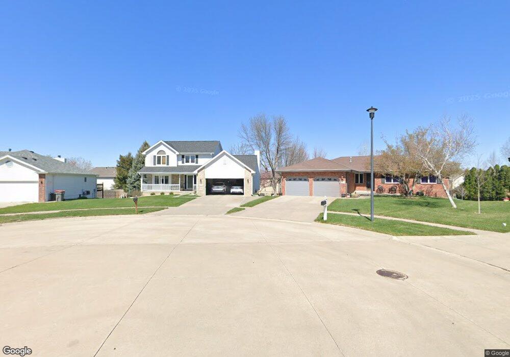
3510 Mesquite Cir Lincoln, NE 68516
Porter Ridge NeighborhoodEstimated Value: $420,859 - $450,000
4
Beds
3
Baths
3,173
Sq Ft
$138/Sq Ft
Est. Value
About This Home
This home is located at 3510 Mesquite Cir, Lincoln, NE 68516 and is currently estimated at $436,715, approximately $137 per square foot. 3510 Mesquite Cir is a home located in Lancaster County with nearby schools including Cavett Elementary School, Scott Middle School, and Southwest High School.
Ownership History
Date
Name
Owned For
Owner Type
Purchase Details
Closed on
Sep 28, 2023
Sold by
Terhune Daniel D and Meyers Kathy A
Bought by
Terhune Daniel D and Terhune Kathy A
Current Estimated Value
Purchase Details
Closed on
May 22, 2015
Sold by
Terhune Daniel D and Meyers Kathy A
Bought by
Terhune Daniel D and Terhune Kathy A
Purchase Details
Closed on
Jun 25, 2010
Sold by
Graff Milo B and Graff Georgia M
Bought by
Terhune Daniel D and Meyers Kathy A
Home Financials for this Owner
Home Financials are based on the most recent Mortgage that was taken out on this home.
Original Mortgage
$165,000
Interest Rate
4.81%
Mortgage Type
New Conventional
Purchase Details
Closed on
Aug 17, 2004
Sold by
Graff Milo B and Graff Georgia M
Bought by
Graff Milo B and Graff Georgia M
Purchase Details
Closed on
Sep 20, 2001
Sold by
Hejl John J and Hejl Janice M
Bought by
Graff Milo B and Graff Georgia M
Create a Home Valuation Report for This Property
The Home Valuation Report is an in-depth analysis detailing your home's value as well as a comparison with similar homes in the area
Home Values in the Area
Average Home Value in this Area
Purchase History
| Date | Buyer | Sale Price | Title Company |
|---|---|---|---|
| Terhune Daniel D | -- | None Listed On Document | |
| Terhune Daniel D | -- | None Available | |
| Terhune Daniel D | $220,000 | Ntc | |
| Graff Milo B | -- | -- | |
| Graff Milo B | $210,000 | -- |
Source: Public Records
Mortgage History
| Date | Status | Borrower | Loan Amount |
|---|---|---|---|
| Previous Owner | Terhune Daniel D | $165,000 |
Source: Public Records
Tax History Compared to Growth
Tax History
| Year | Tax Paid | Tax Assessment Tax Assessment Total Assessment is a certain percentage of the fair market value that is determined by local assessors to be the total taxable value of land and additions on the property. | Land | Improvement |
|---|---|---|---|---|
| 2025 | $5,254 | $391,800 | $77,000 | $314,800 |
| 2024 | $5,254 | $376,600 | $77,000 | $299,600 |
| 2023 | $6,002 | $358,100 | $77,000 | $281,100 |
| 2022 | $6,194 | $310,800 | $55,000 | $255,800 |
| 2021 | $6,256 | $310,800 | $55,000 | $255,800 |
| 2020 | $5,436 | $284,500 | $55,000 | $229,500 |
| 2019 | $5,437 | $284,500 | $55,000 | $229,500 |
| 2018 | $4,856 | $253,000 | $55,000 | $198,000 |
| 2017 | $4,901 | $253,000 | $55,000 | $198,000 |
| 2016 | $4,767 | $244,800 | $45,000 | $199,800 |
| 2015 | $4,734 | $244,800 | $45,000 | $199,800 |
| 2014 | -- | $219,800 | $45,000 | $174,800 |
| 2013 | -- | $219,800 | $45,000 | $174,800 |
Source: Public Records
Map
Nearby Homes
- 7047 Phoenix Dr
- 7566 S 32nd St
- 7355 S 30th St
- 7656 S 37th St
- 3701 Diablo Dr
- 4100 Sugar Creek Place
- 9421 Elk Creek Dr
- 6756 Blue Ridge Ln
- 8025 Palmilla Ln
- 4400 Speidel Ln
- 7740 O'Rourke Dr
- 8100 McKinty Ln
- 7914 S 42nd St
- 3811 Petersburg Ct
- 4140 Larkwood Rd
- 3641 Old Dominion Rd
- 4541 Eagle Ridge Rd
- 3508 Mclaughlin Dr
- 2845 O'Hanlon Dr
- 3543 Mclaughlin Dr
- 3511 Pela Verde Cir
- 3500 Mesquite Cir
- 3520 Mesquite Cir
- 3501 Pela Verde Cir
- 3521 Pela Verde Cir
- 3530 Mesquite Cir
- 3521 Mesquite Cir
- 7317 Canyon Rd
- 7323 Canyon Rd
- 7400 S 35th St
- 3520 Pela Verde Cir
- 7333 Canyon Rd
- 3511 Mesquite Cir
- 7311 Canyon Rd
- 7333 S 35th St
- 7321 S 35th St
- 7341 S 35th St
- 7345 Canyon Rd
- 7311 S 35th St
- 7301 Canyon Rd