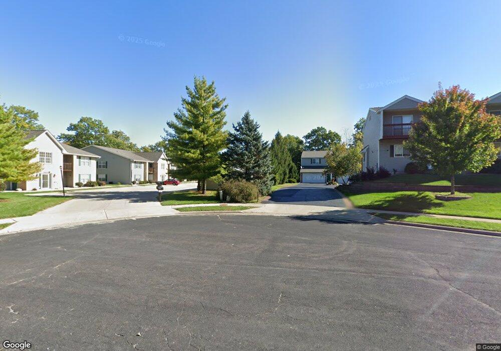
3510 N Kingston Dr Unit 25 Peoria, IL 61604
Forest Hills NeighborhoodEstimated Value: $120,813 - $155,000
3
Beds
3
Baths
1,558
Sq Ft
$87/Sq Ft
Est. Value
About This Home
This home is located at 3510 N Kingston Dr Unit 25, Peoria, IL 61604 and is currently estimated at $134,953, approximately $86 per square foot. 3510 N Kingston Dr Unit 25 is a home located in Peoria County with nearby schools including Dr Maude A Sanders Primary School, Sterling Middle School, and Peoria High School.
Ownership History
Date
Name
Owned For
Owner Type
Purchase Details
Closed on
Dec 10, 2020
Sold by
Jeffrey Imig
Bought by
Imig Jeffrey and Edwards Judy
Current Estimated Value
Purchase Details
Closed on
Dec 2, 2020
Sold by
Jeffrey Imig
Bought by
Imig Jeffrey and Edwards Judy
Purchase Details
Closed on
Feb 25, 2019
Sold by
Patrick King
Bought by
Imig Jeffrey
Purchase Details
Closed on
Jul 2, 2008
Bought by
Edwards Judy and Imig Jeff
Create a Home Valuation Report for This Property
The Home Valuation Report is an in-depth analysis detailing your home's value as well as a comparison with similar homes in the area
Home Values in the Area
Average Home Value in this Area
Purchase History
| Date | Buyer | Sale Price | Title Company |
|---|---|---|---|
| Imig Jeffrey | -- | Kavanagh Scully Sudow White & | |
| Imig Jeffrey | -- | Kavanagh Scully Sudow White & | |
| Imig Jeffrey | -- | Attorney Only | |
| Imig Jeffrey | -- | None Listed On Document | |
| Edwards Judy | $115,000 | -- |
Source: Public Records
Tax History Compared to Growth
Tax History
| Year | Tax Paid | Tax Assessment Tax Assessment Total Assessment is a certain percentage of the fair market value that is determined by local assessors to be the total taxable value of land and additions on the property. | Land | Improvement |
|---|---|---|---|---|
| 2024 | $2,005 | $33,170 | $5,910 | $27,260 |
| 2023 | $1,828 | $30,430 | $5,420 | $25,010 |
| 2022 | $1,526 | $26,820 | $5,380 | $21,440 |
| 2021 | $1,446 | $25,540 | $5,120 | $20,420 |
| 2020 | $1,432 | $25,290 | $5,070 | $20,220 |
| 2019 | $1,474 | $25,800 | $5,170 | $20,630 |
| 2018 | $1,681 | $28,260 | $5,530 | $22,730 |
| 2017 | $1,692 | $28,550 | $5,590 | $22,960 |
| 2016 | $1,624 | $28,550 | $5,590 | $22,960 |
| 2015 | $2,089 | $27,990 | $5,480 | $22,510 |
| 2014 | $2,101 | $33,690 | $5,200 | $28,490 |
| 2013 | -- | $34,100 | $5,260 | $28,840 |
Source: Public Records
Map
Nearby Homes
- 3010 W Brookside Dr
- 3311 W Richwoods Blvd
- 3808 N Walround Ln
- 2910 W Westport Rd
- 2705 W Millbrook Ct
- 3114 N Elmcroft Terrace
- 3347 W Saymore Ln
- 3623 N Sterling Ave Unit b-17
- 2922 W Larchmont Ln
- 4036 N Westport Ct
- 3423 N El Vista Ave
- 3005 N Molleck Dr
- 3250 W Westport Rd
- 3444 W Dorchester Ridge Unit c
- 4011 N Sterling Ave
- 2318 W Albany Ave
- 2315 W Hudson St
- 3516 W Richwoods Blvd Unit 10
- 2221 W Tripp Ave
- 3352 W Lexington Ct
- 3510 N Kingston Dr Unit 20
- 3510 N Kingston Dr Unit 15
- 3510 N Kingston Dr Unit 16
- 3510 N Kingston Dr Unit 17
- 3510 N Kingston Dr Unit 18
- 3510 N Kingston Dr Unit 19
- 3510 N Kingston Dr
- 3510 N Kingston Dr Unit 21
- 3510 N Kingston Dr
- 3510 N Kingston Dr Unit 23
- 3510 N Kingston Dr Unit 26
- 3510 N Kingston Dr Unit 27
- 3510 N Kingston Dr Unit 28
- 3510 N Kingston Dr Unit 1
- 3510 N Kingston Dr Unit 2
- 3510 N Kingston Dr Unit 3
- 3510 N Kingston Dr Unit 4
- 3510 N Kingston Dr Unit 5
- 3510 N Kingston Dr Unit 6
- 3510 N Kingston Dr Unit 7