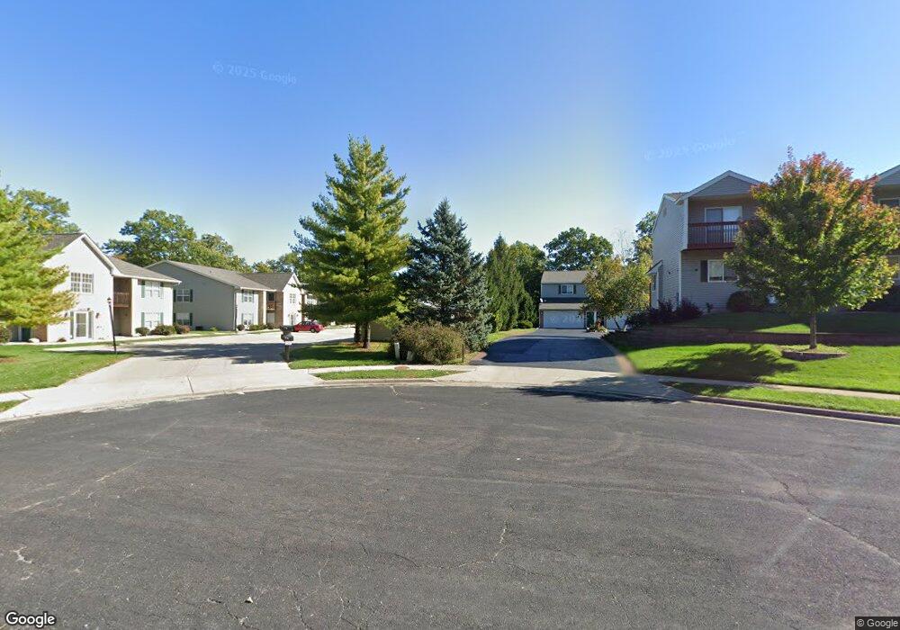
3510 N Kingston Dr Peoria, IL 61604
Forest Hills NeighborhoodEstimated Value: $126,602 - $145,000
2
Beds
2
Baths
1,200
Sq Ft
$111/Sq Ft
Est. Value
About This Home
This home is located at 3510 N Kingston Dr, Peoria, IL 61604 and is currently estimated at $132,651, approximately $110 per square foot. 3510 N Kingston Dr is a home located in Peoria County with nearby schools including Dr Maude A Sanders Primary School, Sterling Middle School, and Peoria High School.
Ownership History
Date
Name
Owned For
Owner Type
Purchase Details
Closed on
Mar 14, 2025
Sold by
Catalina Aurelia
Bought by
Dorcy Robert
Current Estimated Value
Home Financials for this Owner
Home Financials are based on the most recent Mortgage that was taken out on this home.
Original Mortgage
$118,750
Outstanding Balance
$116,279
Interest Rate
6.05%
Mortgage Type
New Conventional
Estimated Equity
$16,372
Purchase Details
Closed on
Aug 2, 2012
Bought by
Catalina Aurelia
Create a Home Valuation Report for This Property
The Home Valuation Report is an in-depth analysis detailing your home's value as well as a comparison with similar homes in the area
Home Values in the Area
Average Home Value in this Area
Purchase History
| Date | Buyer | Sale Price | Title Company |
|---|---|---|---|
| Dorcy Robert | $125,000 | None Listed On Document | |
| Catalina Aurelia | $95,000 | -- |
Source: Public Records
Mortgage History
| Date | Status | Borrower | Loan Amount |
|---|---|---|---|
| Open | Dorcy Robert | $118,750 |
Source: Public Records
Tax History Compared to Growth
Tax History
| Year | Tax Paid | Tax Assessment Tax Assessment Total Assessment is a certain percentage of the fair market value that is determined by local assessors to be the total taxable value of land and additions on the property. | Land | Improvement |
|---|---|---|---|---|
| 2024 | $2,458 | $33,170 | $5,910 | $27,260 |
| 2023 | $2,299 | $30,430 | $5,420 | $25,010 |
| 2022 | $2,008 | $26,820 | $5,380 | $21,440 |
| 2021 | $1,943 | $25,540 | $5,120 | $20,420 |
| 2020 | $1,933 | $25,290 | $5,070 | $20,220 |
| 2019 | $1,973 | $25,800 | $5,170 | $20,630 |
| 2018 | $2,168 | $28,260 | $5,530 | $22,730 |
| 2017 | $2,174 | $28,550 | $5,590 | $22,960 |
| 2016 | $2,102 | $28,550 | $5,590 | $22,960 |
| 2015 | $2,549 | $27,990 | $5,480 | $22,510 |
| 2014 | $2,556 | $33,690 | $5,200 | $28,490 |
| 2013 | -- | $34,100 | $5,260 | $28,840 |
Source: Public Records
Map
Nearby Homes
- 3010 W Brookside Dr
- 3311 W Richwoods Blvd
- 3808 N Walround Ln
- 2910 W Westport Rd
- 2705 W Millbrook Ct
- 3114 N Elmcroft Terrace
- 3347 W Saymore Ln
- 3623 N Sterling Ave Unit b-17
- 2922 W Larchmont Ln
- 4036 N Westport Ct
- 3423 N El Vista Ave
- 3005 N Molleck Dr
- 3250 W Westport Rd
- 3444 W Dorchester Ridge Unit c
- 4011 N Sterling Ave
- 2318 W Albany Ave
- 2315 W Hudson St
- 3516 W Richwoods Blvd Unit 10
- 2221 W Tripp Ave
- 3352 W Lexington Ct
- 3510 N Kingston Dr Unit 20
- 3510 N Kingston Dr Unit 15
- 3510 N Kingston Dr Unit 16
- 3510 N Kingston Dr Unit 17
- 3510 N Kingston Dr Unit 18
- 3510 N Kingston Dr Unit 19
- 3510 N Kingston Dr
- 3510 N Kingston Dr Unit 21
- 3510 N Kingston Dr Unit 23
- 3510 N Kingston Dr Unit 25
- 3510 N Kingston Dr Unit 26
- 3510 N Kingston Dr Unit 27
- 3510 N Kingston Dr Unit 28
- 3510 N Kingston Dr Unit 1
- 3510 N Kingston Dr Unit 2
- 3510 N Kingston Dr Unit 3
- 3510 N Kingston Dr Unit 4
- 3510 N Kingston Dr Unit 5
- 3510 N Kingston Dr Unit 6
- 3510 N Kingston Dr Unit 7